Skip to search
Skip to main content
Skip to first result
Digital Commonwealth
Folders
Sign Up / Log In
Search for
Search
Search
Search
Basic
Advanced
Explore
Map
Collections
Institutions
Formats
For Educators
Primary Source Sets
Lesson Plans
Using Primary Sources
Searching Digital Commonwealth
For Institutions
Join Digital Commonwealth
Conferences, Trainings, & Events
How to Contribute Collections
Digitization Services
Board & Committees
Frequently Asked Questions
About
About Digital Commonwealth
News & Announcements
Copyright & Terms of Use
Harmful Content Statement
Partners
API
Contact Us
Search
Search Constraints
Start Over
Save Search
Your search:
More Like
commonwealth-oai:qn59rm875
✖
Remove constraint More Like: commonwealth-oai:qn59rm875
« Prev.
|
2,001
-
2,020
of
10,046
|
Next »
Sort
by relevance
relevance
title
date (asc)
date (desc)
Number of results to display per page
20
per page
per page
10
per page
20
per page
50
per page
100
per page
View results as:
List
list view
Maps
map view
Gallery
grid view
Search Results
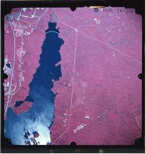
2001.
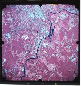
Bristol County: aerial photograph. 36-326
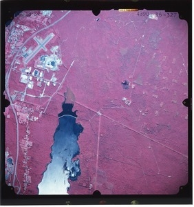
2002.
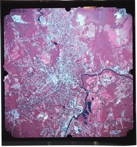
Bristol County: aerial photograph. 36-327
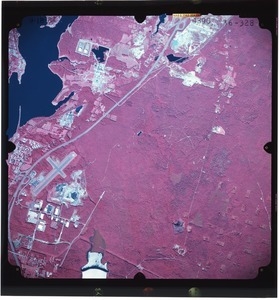
2003.
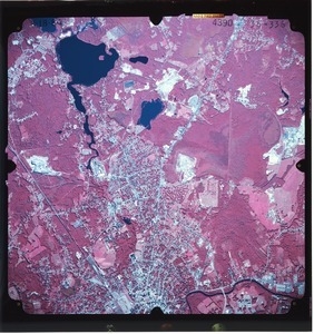
Bristol County: aerial photograph. 36-328
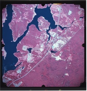
2004.
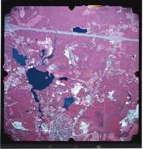
Bristol County: aerial photograph. 36-329
2005.
Bristol County: aerial photograph. 36-330
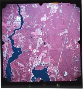
2006.
Bristol County: aerial photograph. 36-331
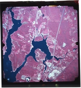
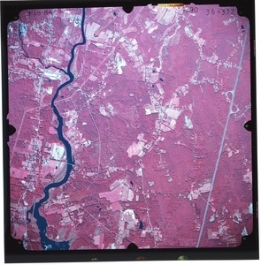
2007.
Bristol County: aerial photograph. 36-332
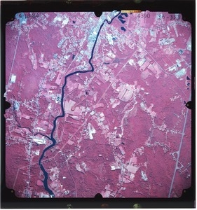
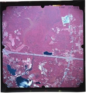
2008.
Bristol County: aerial photograph. 36-333
2009.
Bristol County: aerial photograph. 36-334
2010.
Bristol County: aerial photograph. 36-335
2011.
Bristol County: aerial photograph. 36-336
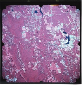
2012.
Bristol County: aerial photograph. 36-337
2013.
Bristol County: aerial photograph. 36-338
2014.
Bristol County: aerial photograph. 36-339
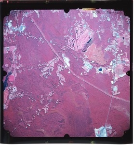
2015.
Bristol County: aerial photograph. 36-340
2016.
Bristol County: aerial photograph. 36-341
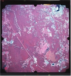
2017.
Bristol County: aerial photograph. 36-342
2018.
Bristol County: aerial photograph. 36-343
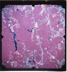
2019.
Bristol County: aerial photograph. 36-344
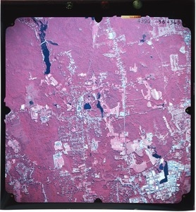
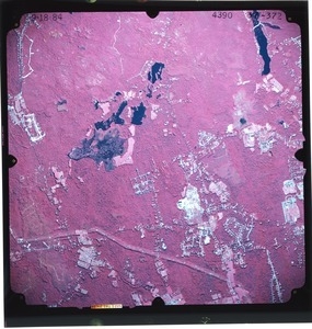
2020.
Bristol County: aerial photograph. 37-372
« Previous
Next »
1
2
…
97
98
99
100
101
102
103
104
105
…
502
503
Limit your search
Subject
Land use--Massachusetts
10,046
Maps--Massachusetts
10,046
Place
Massachusetts
10,046
North and Central America
10,046
United States
10,046
Massachusetts--Worcester County
1,926
Massachusetts--Middlesex County
1,137
Massachusetts--Berkshire County
1,078
Massachusetts--Plymouth County
1,043
Massachusetts--Bristol County
855
more
Place
»
Format
Photographs
10,046
Prints
8,406
Date
View distribution
Current results range from
1951
to
1985
Date range begin
Date range end
View larger »
Collection
William P. MacConnell Aerial Photograph Collection, ca. 1950-2000
10,046
Institution
Special Collections and University Archives, University of Massachusetts Amherst Libraries
10,046