Skip to search
Skip to main content
Skip to first result
Digital Commonwealth
Folders
Sign Up / Log In
Search for
Search
Search
Search
Basic
Advanced
Explore
Map
Collections
Institutions
Formats
For Educators
Primary Source Sets
Lesson Plans
Using Primary Sources
Searching Digital Commonwealth
For Institutions
Join Digital Commonwealth
Conferences, Trainings, & Events
How to Contribute Collections
Digitization Services
Board & Committees
Frequently Asked Questions
About
About Digital Commonwealth
News & Announcements
Copyright & Terms of Use
Harmful Content Statement
Partners
API
Contact Us
Search
Search Constraints
Start Over
Save Search
Your search:
More Like
commonwealth-oai:qn59rm72j
✖
Remove constraint More Like: commonwealth-oai:qn59rm72j
« Prev.
|
41
-
60
of
10,046
|
Next »
Sort
by date (desc)
relevance
title
date (asc)
date (desc)
Number of results to display per page
20
per page
per page
10
per page
20
per page
50
per page
100
per page
View results as:
List
list view
Maps
map view
Gallery
grid view
Search Results
41.
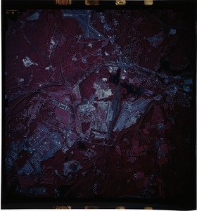
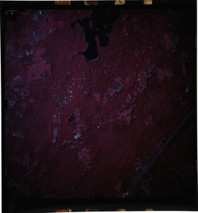
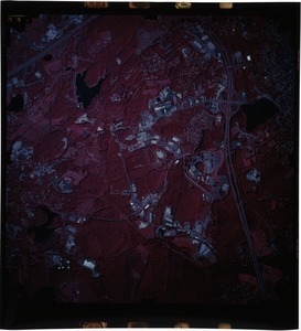
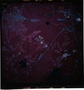
Middlesex County: aerial photograph. 51-2215
42.
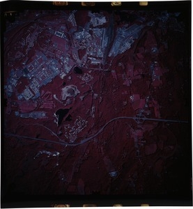
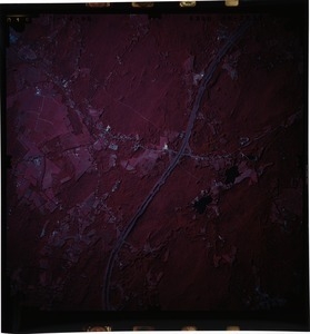
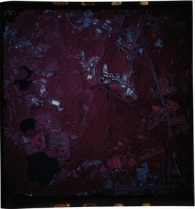
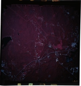
Worcester County: aerial photograph. 46-2025
43.
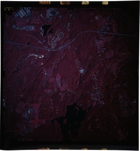
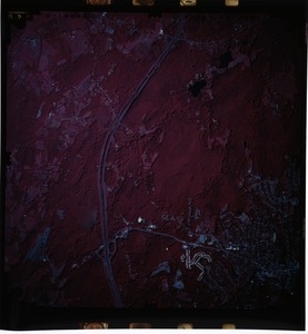
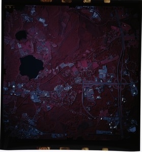
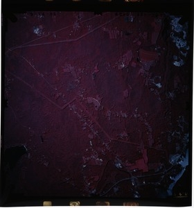
Worcester County: aerial photograph. 46-2026
44.
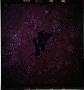
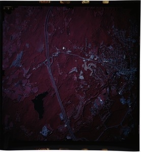
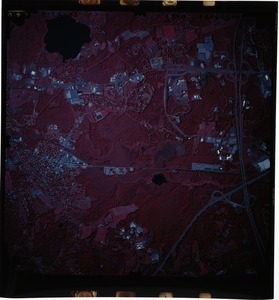
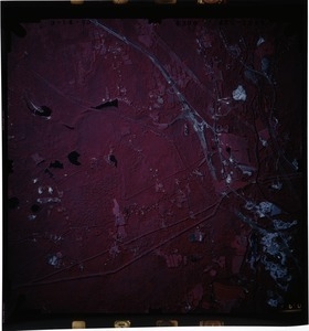
Worcester County: aerial photograph. 46-2027
45.
Worcester County: aerial photograph. 46-2028
46.
Worcester County: aerial photograph. 46-2029
47.
Worcester County: aerial photograph. 46-2030
48.
Worcester County: aerial photograph. 46-2031
49.
Worcester County: aerial photograph. 46-2032
50.
Worcester County: aerial photograph. 46-2033
51.
Worcester County: aerial photograph. 46-2036
52.
Worcester County: aerial photograph. 46-2037
53.
Worcester County: aerial photograph. 46-2038
54.
Worcester County: aerial photograph. 46-2039
55.
Worcester County: aerial photograph. 46-2040
56.
Worcester County: aerial photograph. 47-2041
57.
Worcester County: aerial photograph. 47-2042
58.
Worcester County: aerial photograph. 47-2043
59.
Worcester County: aerial photograph. 47-2044
60.
Worcester County: aerial photograph. 47-2045
« Previous
Next »
1
2
3
4
5
6
7
…
502
503
Limit your search
Subject
Land use--Massachusetts
10,046
Maps--Massachusetts
10,046
Place
Massachusetts
10,046
North and Central America
10,046
United States
10,046
Massachusetts--Worcester County
1,926
Massachusetts--Middlesex County
1,137
Massachusetts--Berkshire County
1,078
Massachusetts--Plymouth County
1,043
Massachusetts--Bristol County
855
more
Place
»
Format
Photographs
10,046
Prints
8,406
Date
View distribution
Current results range from
1951
to
1985
Date range begin
Date range end
View larger »
Collection
William P. MacConnell Aerial Photograph Collection, ca. 1950-2000
10,046
Institution
Special Collections and University Archives, University of Massachusetts Amherst Libraries
10,046