Skip to search
Skip to main content
Skip to first result
Digital Commonwealth
Folders
Sign Up / Log In
Search for
Search
Search
Search
Basic
Advanced
Explore
Map
Collections
Institutions
Formats
For Educators
Primary Source Sets
Lesson Plans
Using Primary Sources
Searching Digital Commonwealth
For Institutions
Join Digital Commonwealth
Conferences, Trainings, & Events
How to Contribute Collections
Digitization Services
Board & Committees
Frequently Asked Questions
About
About Digital Commonwealth
News & Announcements
Copyright & Terms of Use
Harmful Content Statement
Partners
API
Contact Us
Search
Search Constraints
Start Over
Save Search
Your search:
More Like
commonwealth-oai:qn59rh31p
✖
Remove constraint More Like: commonwealth-oai:qn59rh31p
« Prev.
|
9,901
-
10,000
of
10,046
|
Next »
Sort
by relevance
relevance
title
date (asc)
date (desc)
Number of results to display per page
100
per page
per page
10
per page
20
per page
50
per page
100
per page
View results as:
List
list view
Maps
map view
Gallery
grid view
Search Results
9901.
Worcester County: aerial photograph. dpv-9mm-185
9902.
Worcester County: aerial photograph. dpv-9mm-186
9903.
Worcester County: aerial photograph. dpv-9mm-187
9904.
Worcester County: aerial photograph. dpv-9mm-188
9905.
Worcester County: aerial photograph. dpv-9mm-189
9906.
Worcester County: aerial photograph. dpv-9mm-19
9907.
Worcester County: aerial photograph. dpv-9mm-190
9908.
Worcester County: aerial photograph. dpv-9mm-191
9909.
Worcester County: aerial photograph. dpv-9mm-192
9910.
Worcester County: aerial photograph. dpv-9mm-193
9911.
Worcester County: aerial photograph. dpv-9mm-194
9912.
Worcester County: aerial photograph. dpv-9mm-195
9913.
Worcester County: aerial photograph. dpv-9mm-196
9914.
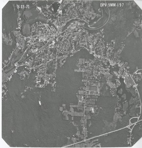
Worcester County: aerial photograph. dpv-9mm-197
9915.
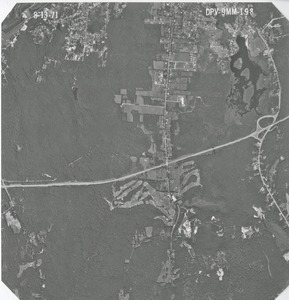
Worcester County: aerial photograph. dpv-9mm-198
9916.
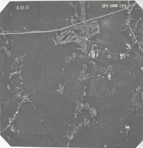
Worcester County: aerial photograph. dpv-9mm-199
9917.
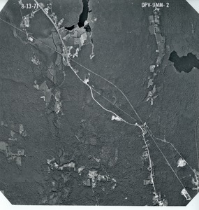
Worcester County: aerial photograph. dpv-9mm-2
9918.
Worcester County: aerial photograph. dpv-9mm-20
9919.
Worcester County: aerial photograph. dpv-9mm-200
9920.
Worcester County: aerial photograph. dpv-9mm-201
9921.
Worcester County: aerial photograph. dpv-9mm-202
9922.
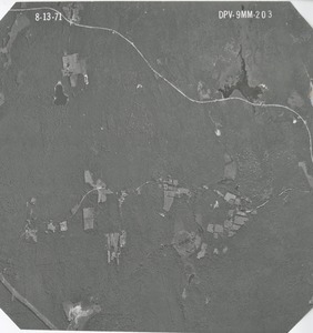
Worcester County: aerial photograph. dpv-9mm-203
9923.
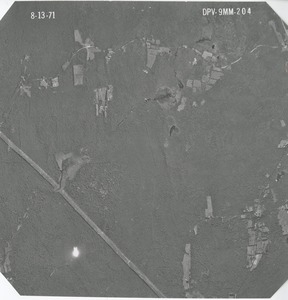
Worcester County: aerial photograph. dpv-9mm-204
9924.
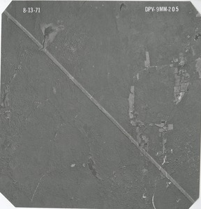
Worcester County: aerial photograph. dpv-9mm-205
9925.
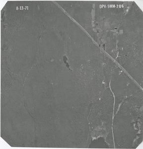
Worcester County: aerial photograph. dpv-9mm-206
9926.
Worcester County: aerial photograph. dpv-9mm-207
9927.
Worcester County: aerial photograph. dpv-9mm-208
9928.
Worcester County: aerial photograph. dpv-9mm-209
9929.
Worcester County: aerial photograph. dpv-9mm-21
9930.
Worcester County: aerial photograph. dpv-9mm-210
9931.
Worcester County: aerial photograph. dpv-9mm-211
9932.
Worcester County: aerial photograph. dpv-9mm-212
9933.
Worcester County: aerial photograph. dpv-9mm-213
9934.
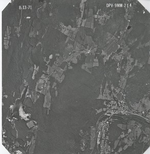
Worcester County: aerial photograph. dpv-9mm-214
9935.
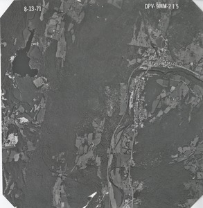
Worcester County: aerial photograph. dpv-9mm-215
9936.
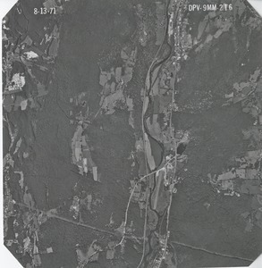
Worcester County: aerial photograph. dpv-9mm-216
9937.
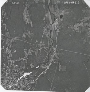
Worcester County: aerial photograph. dpv-9mm-217
9938.
Worcester County: aerial photograph. dpv-9mm-218
9939.
Worcester County: aerial photograph. dpv-9mm-219
9940.
Worcester County: aerial photograph. dpv-9mm-22
9941.
Worcester County: aerial photograph. dpv-9mm-220
9942.
Worcester County: aerial photograph. dpv-9mm-221
9943.
Worcester County: aerial photograph. dpv-9mm-222
9944.
Worcester County: aerial photograph. dpv-9mm-223
9945.
Worcester County: aerial photograph. dpv-9mm-224
9946.
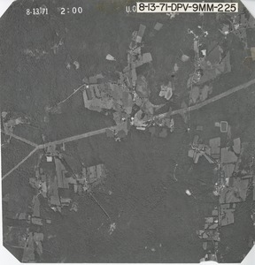
Worcester County: aerial photograph. dpv-9mm-225
9947.
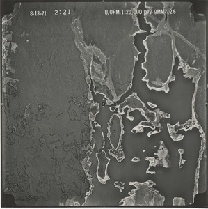
Worcester County: aerial photograph. dpv-9mm-226
9948.
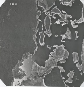
Worcester County: aerial photograph. dpv-9mm-227
9949.
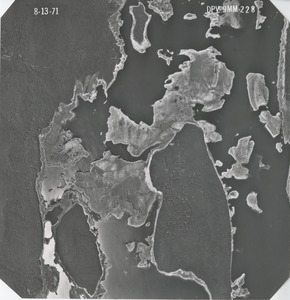
Worcester County: aerial photograph. dpv-9mm-228
9950.
Worcester County: aerial photograph. dpv-9mm-229
9951.
Worcester County: aerial photograph. dpv-9mm-23
9952.
Worcester County: aerial photograph. dpv-9mm-230
9953.
Worcester County: aerial photograph. dpv-9mm-231
9954.
Worcester County: aerial photograph. dpv-9mm-232
9955.
Worcester County: aerial photograph. dpv-9mm-233
9956.
Worcester County: aerial photograph. dpv-9mm-234
9957.
Worcester County: aerial photograph. dpv-9mm-235
9958.
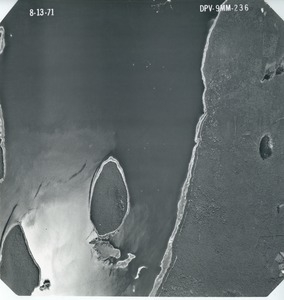
Worcester County: aerial photograph. dpv-9mm-236
9959.
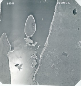
Worcester County: aerial photograph. dpv-9mm-237
9960.
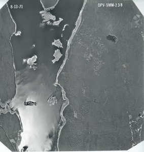
Worcester County: aerial photograph. dpv-9mm-238
9961.
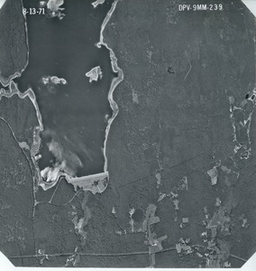
Worcester County: aerial photograph. dpv-9mm-239
9962.
Worcester County: aerial photograph. dpv-9mm-24
9963.
Worcester County: aerial photograph. dpv-9mm-240
9964.
Worcester County: aerial photograph. dpv-9mm-241
9965.
Worcester County: aerial photograph. dpv-9mm-25
9966.
Worcester County: aerial photograph. dpv-9mm-26
9967.
Worcester County: aerial photograph. dpv-9mm-27
9968.
Worcester County: aerial photograph. dpv-9mm-28
9969.
Worcester County: aerial photograph. dpv-9mm-29
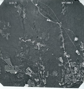
9970.
Worcester County: aerial photograph. dpv-9mm-3
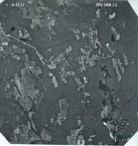
9971.
Worcester County: aerial photograph. dpv-9mm-30
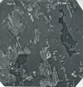
9972.
Worcester County: aerial photograph. dpv-9mm-31
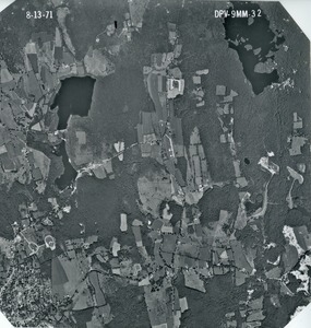
9973.
Worcester County: aerial photograph. dpv-9mm-32
9974.
Worcester County: aerial photograph. dpv-9mm-33
9975.
Worcester County: aerial photograph. dpv-9mm-34
9976.
Worcester County: aerial photograph. dpv-9mm-35
9977.
Worcester County: aerial photograph. dpv-9mm-36
9978.
Worcester County: aerial photograph. dpv-9mm-37
9979.
Worcester County: aerial photograph. dpv-9mm-38
9980.
Worcester County: aerial photograph. dpv-9mm-39
9981.
Worcester County: aerial photograph. dpv-9mm-4
9982.
Worcester County: aerial photograph. dpv-9mm-40
9983.
Worcester County: aerial photograph. dpv-9mm-41
9984.
Worcester County: aerial photograph. dpv-9mm-42
9985.
Worcester County: aerial photograph. dpv-9mm-43
9986.
Worcester County: aerial photograph. dpv-9mm-44
9987.
Worcester County: aerial photograph. dpv-9mm-45
9988.
Worcester County: aerial photograph. dpv-9mm-46
9989.
Worcester County: aerial photograph. dpv-9mm-47
9990.
Worcester County: aerial photograph. dpv-9mm-48
9991.
Worcester County: aerial photograph. dpv-9mm-49
9992.
Worcester County: aerial photograph. dpv-9mm-5
9993.
Worcester County: aerial photograph. dpv-9mm-50
9994.
Worcester County: aerial photograph. dpv-9mm-51
9995.
Worcester County: aerial photograph. dpv-9mm-52
9996.
Worcester County: aerial photograph. dpv-9mm-53
9997.
Worcester County: aerial photograph. dpv-9mm-54
9998.
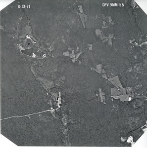
Worcester County: aerial photograph. dpv-9mm-55
9999.
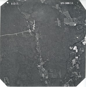
Worcester County: aerial photograph. dpv-9mm-56
10000.
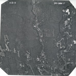
Worcester County: aerial photograph. dpv-9mm-57
« Previous
Next »
1
2
…
96
97
98
99
100
101
Limit your search
Subject
Land use--Massachusetts
10,046
Maps--Massachusetts
10,046
Place
Massachusetts
10,046
North and Central America
10,046
United States
10,046
Massachusetts--Worcester County
1,926
Massachusetts--Middlesex County
1,137
Massachusetts--Berkshire County
1,078
Massachusetts--Plymouth County
1,043
Massachusetts--Bristol County
855
more
Place
»
Format
Photographs
10,046
Prints
8,406
Date
View distribution
Current results range from
1951
to
1985
Date range begin
Date range end
View larger »
Collection
William P. MacConnell Aerial Photograph Collection, ca. 1950-2000
10,046
Institution
Special Collections and University Archives, University of Massachusetts Amherst Libraries
10,046