Skip to search
Skip to main content
Skip to first result
Digital Commonwealth
Folders
Sign Up / Log In
Search for
Search
Search
Search
Basic
Advanced
Explore
Map
Collections
Institutions
Formats
For Educators
Primary Source Sets
Lesson Plans
Using Primary Sources
Searching Digital Commonwealth
For Institutions
Join Digital Commonwealth
Conferences, Trainings, & Events
How to Contribute Collections
Digitization Services
Board & Committees
Frequently Asked Questions
About
About Digital Commonwealth
News & Announcements
Copyright & Terms of Use
Harmful Content Statement
Partners
API
Contact Us
Search
Search Constraints
Start Over
Save Search
Your search:
More Like
commonwealth-oai:pc289r30k
✖
Remove constraint More Like: commonwealth-oai:pc289r30k
« Prev.
|
81
-
100
of
202
|
Next »
Sort
by relevance
relevance
title
date (asc)
date (desc)
Number of results to display per page
20
per page
per page
10
per page
20
per page
50
per page
100
per page
View results as:
List
list view
Maps
map view
Gallery
grid view
Search Results
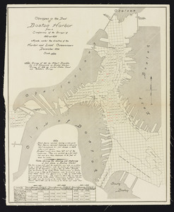
81.
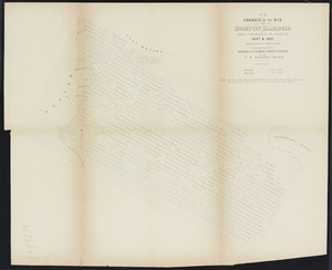
Changes in the bed of Boston Harbor: from a comparison of the surveys of 1861 and 1892
82.
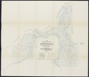
Changes in the bed of Boston harbor. Sheet 1: From a comparison of the surveys of 1835 & 1847
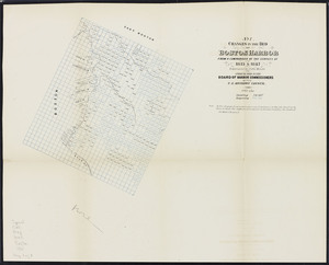
83.
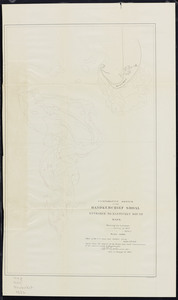
Changes in the bed of Boston harbor. Sheet 2: From a comparison of the surveys of 1847 & 1861
84.
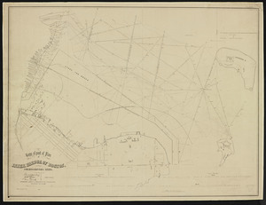
Changes in the bed of Boston harbor. Sheet 3: From a comparison of the surveys of 1835 & 1861
85.
Commonwealth's land in the Back Bay: showing dates of sales and prices obtained
86.
Comparative sketch of the Handkerchief Shoal entrance to Nantucket Sound, Mass.
87.
Contents of D. Sear's land
88.
Copy of a plan of the Harbour of Boston [Charles River] made by Commissioners January 27, 1837 ; shewing the harbour line...
89.
Copy of a plan of the Harbour of Boston [Chelsea Creek]
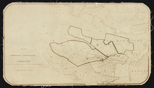
90.
Copy of a plan of the Harbour of Boston [South Boston]
91.
Copy of part of a plan of inner harbor of Boston
92.
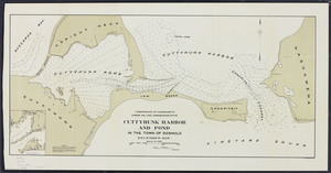
Cuttyhunk Harbor and Pond in the town of Gosnold
93.
Edgartown harbor and Cotamy Bay, Mass.
94.
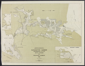
Gloucester Harbor: Annisquam-Little & Mill Rivers and Rockport Harbor
95.
Hydrographic plan of Man of War Shoal, Boston upper harbor
96.
Lynn Harbor and Saugus River
97.
Map accompanying report of the Board of Harbor and Land Commissioners to the General Court: under Chapter 105 of the Resolves...
98.
Map of a portion of Boston Harbor: showing the locations of excavations already done, in progress of execution, and proposed
99.
Map of a portion of the cities of Cambridge, Somerville and Charlestown, showing the drainage area of Millers River and Basins
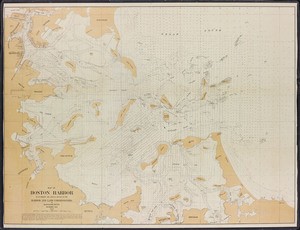
100.
Map of Boston Harbor: to accompany the annual report of the Harbor and Land Commissioners of Massachusetts, December 1895
« Previous
Next »
1
2
3
4
5
6
7
8
9
10
11
Limit your search
Subject
Harbors--Massachusetts--Boston--Maps
58
Boston (Mass.)--Maps
10
Massachusetts--Maps
10
Boston Harbor (Mass.)--Maps
8
Charles River (Mass.)--Maps
7
Connecticut River--Maps
7
Connecticut--Maps
7
New England Railroad--Maps
6
more
Subject
»
Place
North and Central America
202
United States
202
Massachusetts
200
Suffolk (county)
82
Boston
78
Plymouth (county)
30
Middlesex (county)
24
Barnstable (county)
23
more
Place
»
Format
Maps/Atlases
159
Books
41
Photographs
2
Date
View distribution
Current results range from
1839
to
1916
Date range begin
Date range end
View larger »
Unknown
1
Collection
Massachusetts Board of Harbor and Land Commissioners
202
Institution
State Library of Massachusetts
202
![Copy of a plan of the Harbour of Boston [Charles River] made by Commissioners January 27, 1837 ; shewing the harbour line recommended by Commissioners in 1839](https://bpldcassets.blob.core.windows.net/derivatives/metadata/commonwealth-oai:0c484161w/image_thumbnail_300.jpg)
![Copy of a plan of the Harbour of Boston [Chelsea Creek]](https://bpldcassets.blob.core.windows.net/derivatives/metadata/commonwealth-oai:jd473c44m/image_thumbnail_300.jpg)
![Copy of a plan of the Harbour of Boston [South Boston]](https://bpldcassets.blob.core.windows.net/derivatives/metadata/commonwealth-oai:8336hj18z/image_thumbnail_300.jpg)