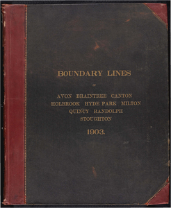
21. Atlas of the boundaries of the city of Quincy and towns of Avon, Braintree, Canton, Holbrook, Hyde Park, Milton, Randolph, Stoughton, Norfolk County Creator: Board of Harbor and Land Commissioners of Massachusetts Format: Maps/Atlases Collection: Massachusetts Board of Harbor and Land Commissioners Date: 1903 Institution: State Library of Massachusetts
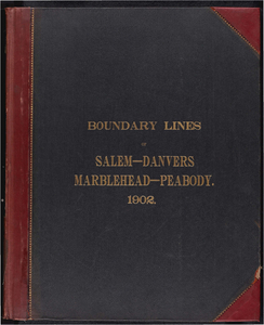
22. Atlas of the boundaries of the city of Salem and towns of Danvers, Marblehead and Peabody, Essex County Creator: Board of Harbor and Land Commissioners of Massachusetts Format: Maps/Atlases Collection: Massachusetts Board of Harbor and Land Commissioners Date: 1902 Institution: State Library of Massachusetts
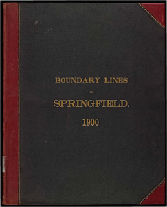
23. Atlas of the boundaries of the city of Springfield, Hampden County Creator: Massachusetts. Topographical Survey Commission Format: Books Collection: Massachusetts Board of Harbor and Land Commissioners Date: 1900 Institution: State Library of Massachusetts
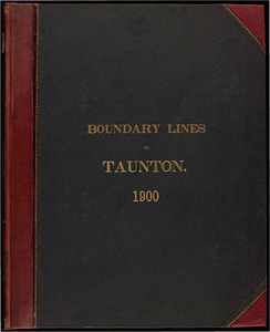
24. Atlas of the boundaries of the city of Taunton, Bristol County Creator: Massachusetts. Topographical Survey Commission Format: Books Collection: Massachusetts Board of Harbor and Land Commissioners Date: 1900 Institution: State Library of Massachusetts
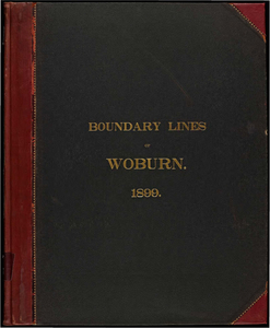
25. Atlas of the boundaries of the city of Woburn, Middlesex County Creator: Massachusetts. Topographical Survey Commission Format: Books Collection: Massachusetts Board of Harbor and Land Commissioners Date: 1899 Institution: State Library of Massachusetts
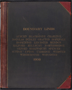
26. Atlas of the boundaries of the city of Worcester and towns of Auburn, Blackstone, Charlton, Douglas, Dudley, Grafton, Hopedale, Leicester, Mendon, Milford, Millbury,... Creator: Board of Harbor and Land Commissioners of Massachusetts Format: Maps/Atlases Collection: Massachusetts Board of Harbor and Land Commissioners Date: 1908 Institution: State Library of Massachusetts
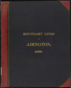
27. Atlas of the boundaries of the town of Abington, Plymouth County Creator: Massachusetts. Topographical Survey Commission Format: Books Collection: Massachusetts Board of Harbor and Land Commissioners Date: 1898 Institution: State Library of Massachusetts
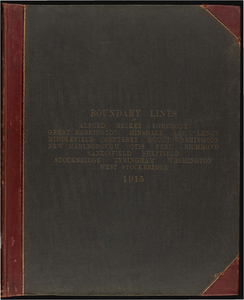
28. Atlas of the boundaries of the town of Alford, Becket, Egremeont, Great Barrington, Hinsdale, Lee, Lenox, Monterey, Mount Washington, New Marlborough, Otis, Peru,... Creator: Board of Harbor and Land Commissioners of Massachusetts Format: Maps/Atlases Collection: Massachusetts Board of Harbor and Land Commissioners Date: 1915 Institution: State Library of Massachusetts
29. Atlas of the boundaries of the town of Arlington, Middlesex County Creator: Board of Harbor and Land Commissioners of Massachusetts Format: Maps/Atlases Collection: Massachusetts Board of Harbor and Land Commissioners Date: 1901 Institution: State Library of Massachusetts
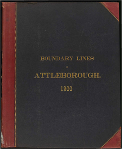
30. Atlas of the boundaries of the town of Attleborough, Bristol County Creator: Massachusetts. Topographical Survey Commission Format: Books Collection: Massachusetts Board of Harbor and Land Commissioners Date: 1900 Institution: State Library of Massachusetts
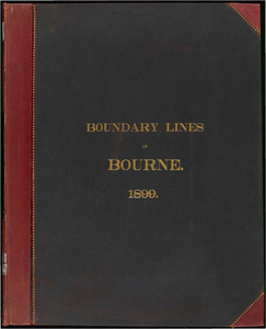
31. Atlas of the boundaries of the town of Bourne, Barnstable County Creator: Massachusetts. Topographical Survey Commission Format: Books Collection: Massachusetts Board of Harbor and Land Commissioners Date: 1899 Institution: State Library of Massachusetts
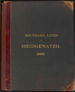
32. Atlas of the boundaries of the town of Bridgewater, Plymouth County Creator: Massachusetts. Topographical Survey Commission Format: Books Collection: Massachusetts Board of Harbor and Land Commissioners Date: 1899 Institution: State Library of Massachusetts
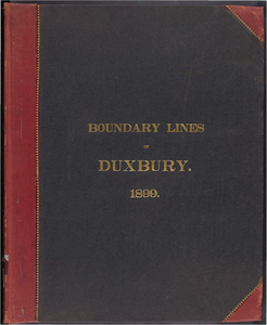
33. Atlas of the boundaries of the town of Duxbury, Plymouth County Creator: Massachusetts. Topographical Survey Commission Format: Books Collection: Massachusetts Board of Harbor and Land Commissioners Date: 1899 Institution: State Library of Massachusetts
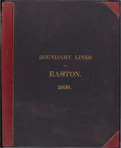
34. Atlas of the boundaries of the town of Easton, Bristol County Creator: Massachusetts. Topographical Survey Commission Format: Books Collection: Massachusetts Board of Harbor and Land Commissioners Date: 1899 Institution: State Library of Massachusetts
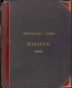
35. Atlas of the boundaries of the town of Halifax, Plymouth County Creator: Massachusetts. Topographical Survey Commission Format: Books Collection: Massachusetts Board of Harbor and Land Commissioners Date: 1899 Institution: State Library of Massachusetts
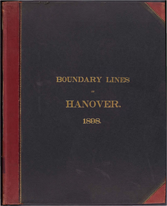
36. Atlas of the boundaries of the town of Hanover, Plymouth County Creator: Massachusetts. Topographical Survey Commission Format: Books Collection: Massachusetts Board of Harbor and Land Commissioners Date: 1898 Institution: State Library of Massachusetts
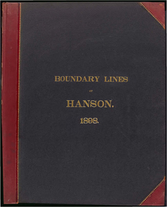
37. Atlas of the boundaries of the town of Hanson, Plymouth County Creator: Massachusetts. Topographical Survey Commission Format: Books Collection: Massachusetts Board of Harbor and Land Commissioners Date: 1898 Institution: State Library of Massachusetts
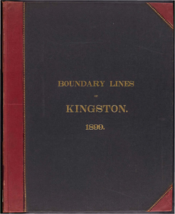
38. Atlas of the boundaries of the town of Kingston, Plymouth County Creator: Massachusetts. Topographical Survey Commission Format: Books Collection: Massachusetts Board of Harbor and Land Commissioners Date: 1899 Institution: State Library of Massachusetts
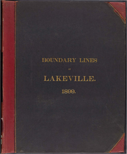
39. Atlas of the boundaries of the town of Lakeville, Plymouth County Creator: Massachusetts. Topographical Survey Commission Format: Books Collection: Massachusetts Board of Harbor and Land Commissioners Date: 1899 Institution: State Library of Massachusetts
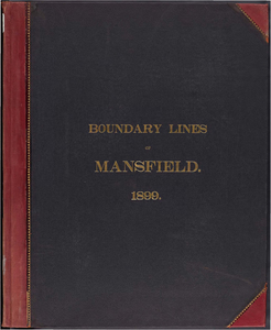
40. Atlas of the boundaries of the town of Mansfield, Plymouth County Creator: Massachusetts. Topographical Survey Commission Format: Books Collection: Massachusetts Board of Harbor and Land Commissioners Date: 1899 Institution: State Library of Massachusetts