Search
Limit your search
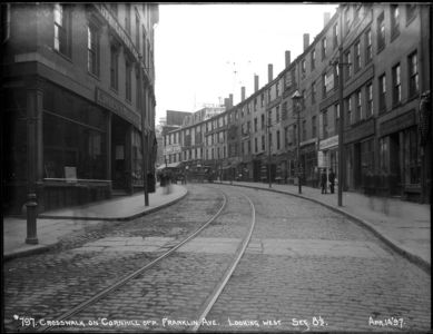
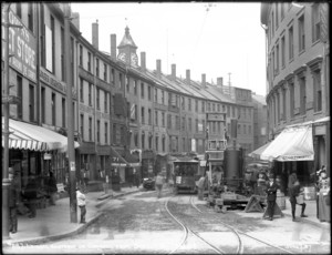
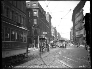
- public transit (infrastructure)8,609
- Architectural photography3,087
- exterior views2,894
- streetscapes1,629
- commercial buildings1,374
- dwellings1,226
- houses1,197
- subways853
- North and Central America11,227
- United States11,227
- Massachusetts10,557
- Suffolk (county)7,439
- Boston7,396
- Middlesex (county)1,997
- Back Bay920
- Cambridge674
- Boston Transit Archive, 1895-1960s (PC017)8,599
- General photographic collection (PC001)1,642
- Ephemera collection (EP001)419
- John Booras collection of glass plate negatives (PC066)410
- Massachusetts Metropolitan District Water Supply Commission, Quabbin Reservoir, Photographs of Contract Construction (selections from), 1928-1947301
- Historic New England properties photographic collection (PC006)239
- Domestic interiors photographic collection (PC002)186
- Prints and engravings collection, 1830s-1920s (GC002)140