Skip to search
Skip to main content
Skip to first result
Digital Commonwealth
Folders
Sign Up / Log In
Search for
Search
Search
Search
Basic
Advanced
Explore
Map
Collections
Institutions
Formats
For Educators
Primary Source Sets
Lesson Plans
Using Primary Sources
Searching Digital Commonwealth
For Institutions
Join Digital Commonwealth
Conferences, Trainings, & Events
How to Contribute Collections
Digitization Services
Board & Committees
Frequently Asked Questions
About
About Digital Commonwealth
News & Announcements
Copyright & Terms of Use
Harmful Content Statement
Partners
API
Contact Us
Search
Search Constraints
Start Over
Save Search
Your search:
More Like
commonwealth:z603t019n
✖
Remove constraint More Like: commonwealth:z603t019n
« Prev. |
1
-
100
of
1,261
|
Next »
Sort
by relevance
relevance
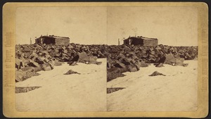
title
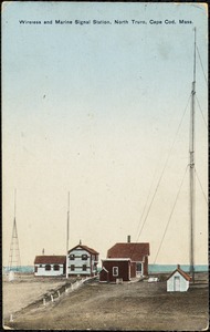
date (asc)
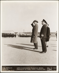
date (desc)
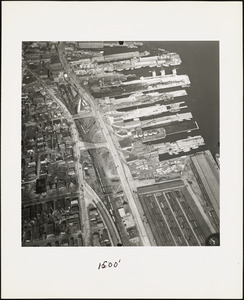
Number of results to display per page
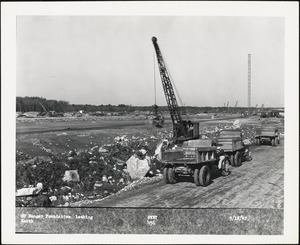
100
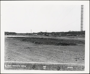
per page
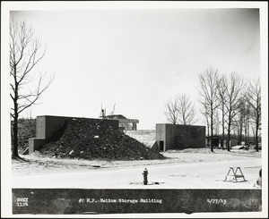
per page
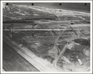
10
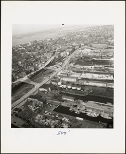
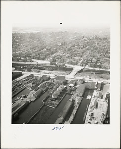
per page
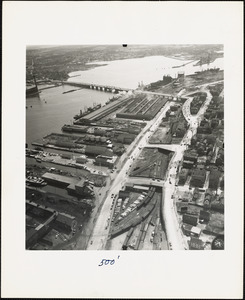
20
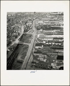
per page
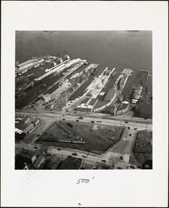
50
per page
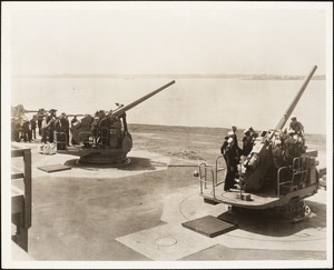
100
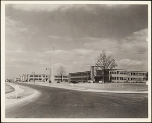
per page
View results as:
List
list view
Maps
map view
Gallery
grid view
Search Results
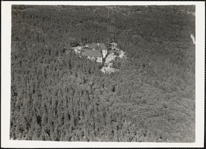
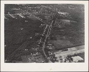
1.
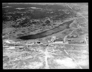
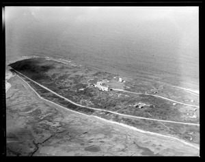
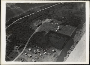
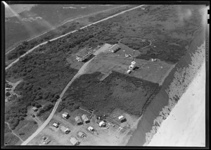
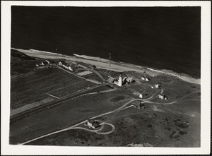
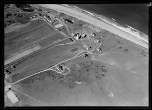
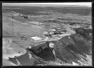
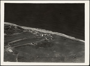
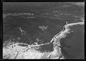
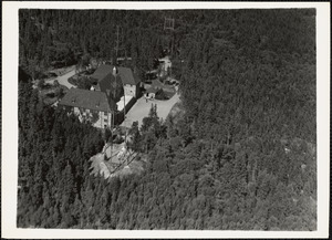
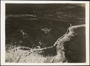
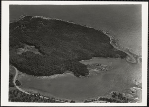
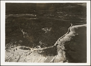
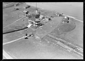
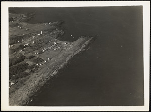
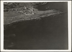
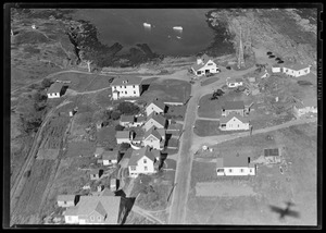
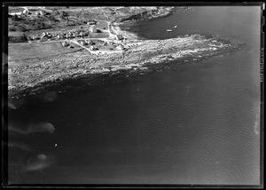
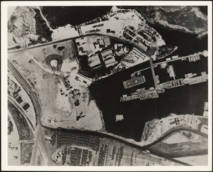
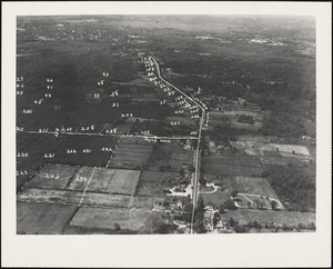
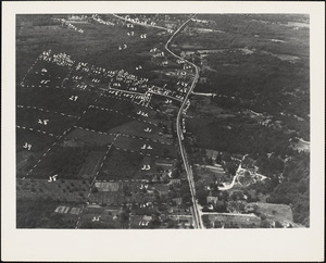
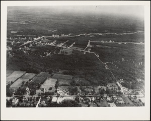
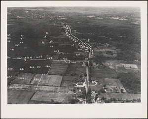
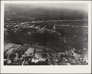
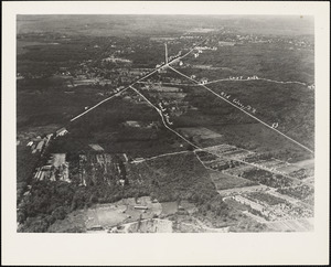
Aerial view of NDF Station
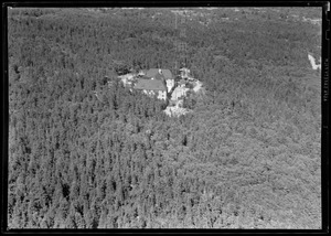
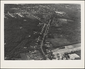
2.
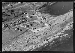
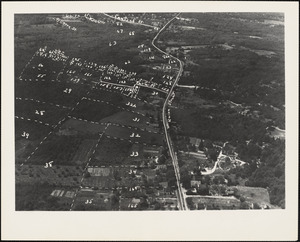
Aerial view of NDF Station
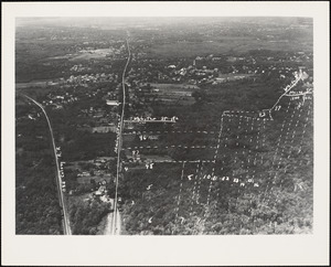
3.
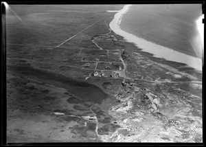
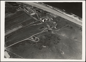
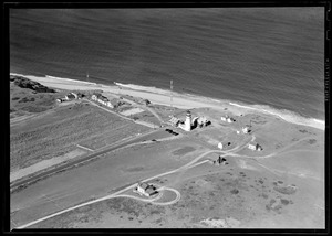
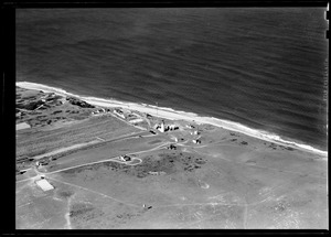
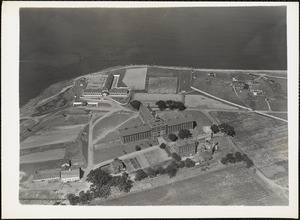
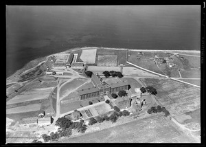
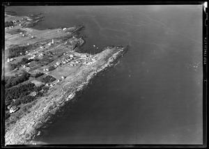
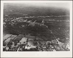
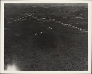
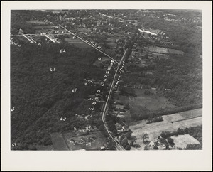
Aerial view of Radio Direction Finder Station
4.
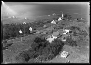
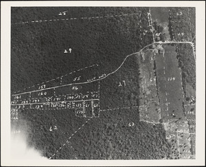
Aerial view of Radio Direction Finder Station
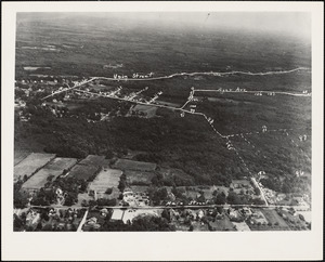
5.
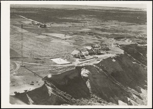
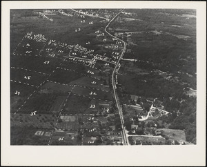
Aerial view of Radio Direction Finder Station
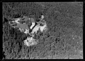
6.
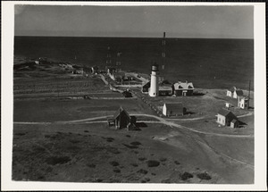
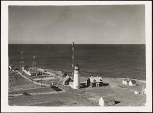
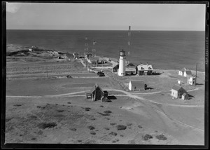
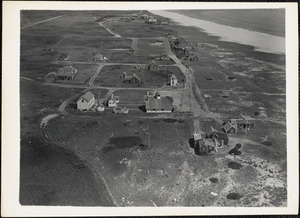
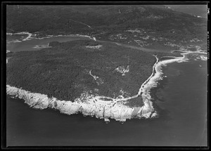
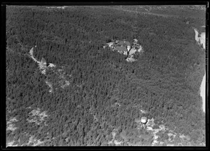
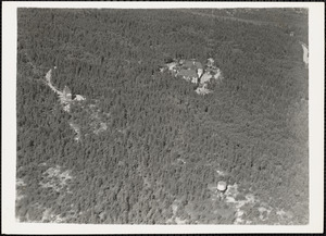
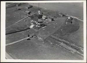
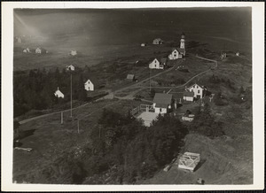
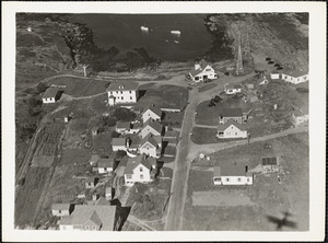
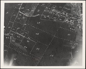
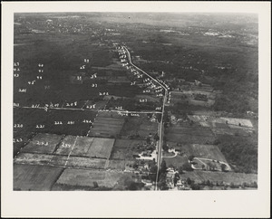
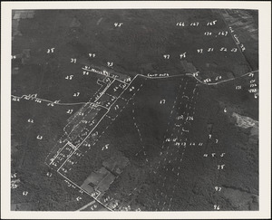
Detail View
7.
Detail view
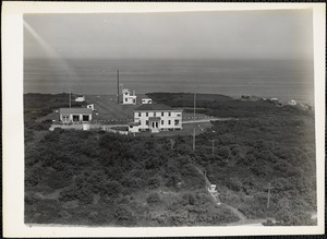
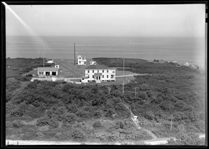
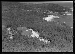
8.
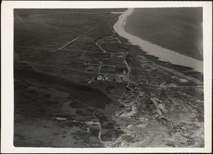
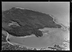
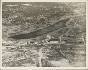
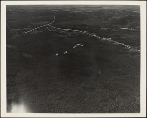
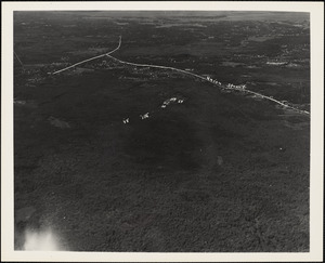
General View
9.
General view
10.
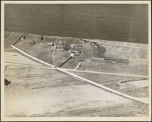
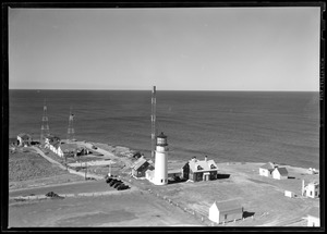
NDF Station
11.
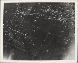
Radio Direction Finder Station
12.
Radio Direction Finder Station
13.
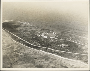
Radio Direction Finder Station
14.
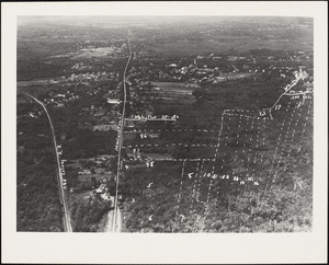
Radio Direction Finder Station
15.
Radio Direction Finder Station
16.
Radio Direction Finder Station
17.
Radio Direction Finder Station
18.
Radio Direction Finder Station
19.
Radio Direction Finder Station
20.
Radio Direction Finder Station
21.
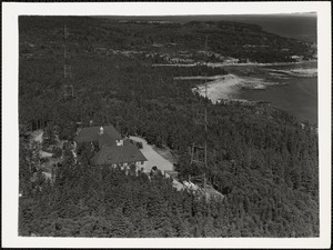
Radio Direction Finder Station - General View
22.
Radio Direction Finder Station - general view
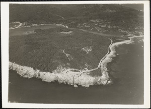
23.
Radio Direction Finder Station Surfside (Nantucket) Detail view
24.
Radio Direction Finder Station Surfside (Nantucket) General view
25.
Radio Direction Finder Station, Winter Harbor, ME
26.
Radio Direction Finder Station, Winter Harbor, ME
27.
Radio Direction Finder Station, Winter Harbor, ME- detail view
28.
Radio Direction Finder Station, Winter Harbor, ME- detail view
29.
Radio Direction Finder Station, Winter Harbor, ME- general view
30.
Radio Direction Finder Station, Winter Harbor, ME- general view
31.
Radio Direction Finder Station, Winter Harbor, ME- general view
32.
Radio Direction Finder Station, Winter Harbor, ME- general view
33.
Radio Direction Finder Station, Winter Harbor, ME-Detail View
34.
Radio Direction Finder Station, Winter Harbor, ME-Detail view
35.
Radio Direction Finder Station, Winter Harbor, ME-General view
36.
Radio Direction Finder Station, Winter Harbor, ME-General view
37.
Radio Direction Finder Station, Winter Harbor, ME-General view
38.
Radio Direction Finder Station, Winter Harbor, ME-General view
39.
Radio Direction Finder Station, Winter Harbor, ME-General view
40.
Radio Direction Finder Station-Deer Island Mass. Detail view
41.
Radio Direction Finder Station-Deer Island Mass. Detail view
42.
Radio Direction Finder Station-Deer Island Mass. (upper right) general view
43.
Radio Direction Finder Station-Deer Island Mass. (upper right) general view
44.
Radio Direction Finder Station-detail view
45.
Radio Direction Finder Station-detail view
46.
Radio Direction Finder Station-detail view
47.
Radio Direction Finder Station-detail view
48.
Radio Direction Finder Station-detail view
49.
Radio Direction Finder Station-detail view
50.
Radio Direction Finder Station-detail view
51.
Radio Direction Finder Station-detail view
52.
Radio Direction Finder Station-detail view
53.
Radio Direction Finder Station-detail view
54.
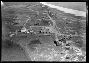
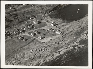
Surfside
55.
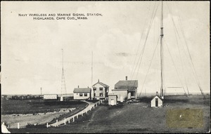
Navy wireless and marine signal station, Highlands, Cape Cod, Mass.
56.
Pike's Peak series -- the summit -- United States weather signal station
57.
Signal Station on Elk Mountain
58.
Wireless and marine signal station, North Truro, Cape Cod, Mass.
59.
136th Construction Battalion Review Inspection by Capt. Eddie Rickenbacker
60.
1500 Feet
61.
#2 Hangar Foundation looking North
62.
#2 Hangar Foundation looking Southwest
63.
#2 H.P. Helium Storage Building
64.
#3 Runway under constuction
65.
500 Feet
66.
500 Feet
67.
500 Feet
68.
500 Feet
69.
500 Feet
70.
5"/38 gun line, Coddington Point
71.
Administration Building and Barracks
72.
Advance Base Providing Ground
73.
Aerial Oblique photo looking East
74.
Aerial View
75.
Aerial view
76.
Aerial View
77.
Aerial View
78.
Aerial View
79.
Aerial View
80.
Aerial View
81.
Aerial View
82.
Aerial View
83.
Aerial View
84.
Aerial View
85.
Aerial View
86.
Aerial View
87.
Aerial View
88.
Aerial View
89.
Aerial View
90.
Aerial View
91.
Aerial View
92.
Aerial View
93.
Aerial View
94.
Aerial View
95.
Aerial View
96.
Aerial View
97.
Aerial View
98.
Aerial View
99.
Aerial View
100.
Aerial View
« Previous
Next »
1
2
3
4
5
…
12
13
Limit your search
Subject
Naval yards & naval stations
179
Buildings
113
Air bases
77
Islands
73
Construction
68
Signal stations
58
Radio Direction Finder Station
51
Hangars
50
more
Subject
»
Place
North and Central America
1,217
United States
1,217
Massachusetts
672
Norfolk (county)
274
Maine
248
Rhode Island
212
Suffolk (county)
206
Newport (county)
158
more
Place
»
Format
Photographs
1,259
Postcards/Cards
2
Available to use
No known restrictions
1,258
Creative Commons license
2
Date
View distribution
Current results range from
1861
to
1947
Date range begin
Date range end
View larger »
Collection
Photographs of the First Naval District
1,257
Truro, Massachusetts Historical Postcard Collection from the Truro Historical Society 1905-1986
2
Stereograph Collection
1
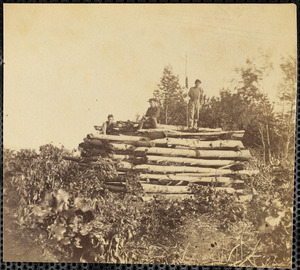
The Medford Historical Society Civil War Photograph Collection
1
Institution
National Archives at Boston
1,257
Truro Historical Society, Cobb Archive
2
Boston Public Library
1
The Medford Historical Society & Museum
1