Search
Limit your search
- North and Central America13,507
- United States13,413
- Massachusetts12,138
- Essex (county)4,877
- Middlesex (county)2,515
- Suffolk (county)2,093
- Lawrence2,085
- Boston1,822
- Photographs9,946
- Postcards/Cards2,045
- Manuscripts1,544
- Maps/Atlases1,536
- Drawings/Illustrations623
- Prints619
- Paintings39
- Film/Video34
- Bill Lane Photograph Collection1,331
- Billerica, Massachusetts: History captured on glass1,073
- Tichnor Brothers Postcard Collection732
- Lawrence, Mass. Engineering Department. City Sewers720
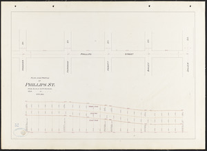
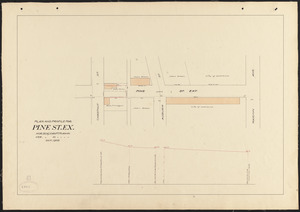
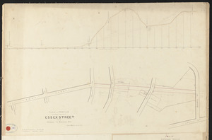
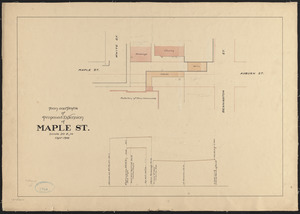
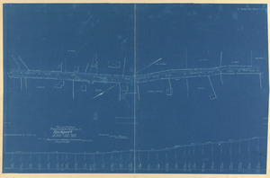
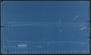
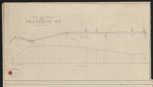
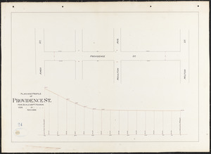
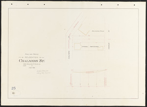
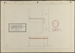
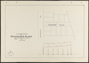
- Lawrence, Mass. Engineering Department. City Streets667
- Lawrence History Center Photograph Collection574
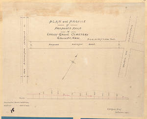
- Proprietors of Locks and Canals on Merrimack River Engineering Drawings565
- Historical Society of Old Newbury, Snow Historical Photograph Collection428