Skip to search
Skip to main content
Skip to first result
Digital Commonwealth
Folders
Sign Up / Log In
Search for
Search
Search
Search
Basic
Advanced
Explore
Map
Collections
Institutions
Formats
For Educators
Primary Source Sets
Lesson Plans
Using Primary Sources
Searching Digital Commonwealth
For Institutions
Join Digital Commonwealth
Conferences, Trainings, & Events
How to Contribute Collections
Digitization Services
Board & Committees
Frequently Asked Questions
About
About Digital Commonwealth
News & Announcements
Copyright & Terms of Use
Harmful Content Statement
Partners
API
Contact Us
Search
Search Constraints
Start Over
Save Search
Your search:
More Like
commonwealth:x633f9782
✖
Remove constraint More Like: commonwealth:x633f9782
« Prev.
|
7,401
-
7,420
of
11,006
|
Next »
Sort
by relevance
relevance
title
date (asc)
date (desc)
Number of results to display per page
20
per page
per page
10
per page
20
per page
50
per page
100
per page
View results as:
List
list view
Maps
map view
Gallery
grid view
Search Results
7401.
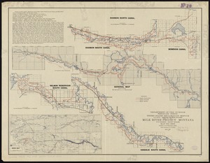
Milk River Irrigation Project, Montana
7402.
[Mill dam survey : Boston, Roxbury, Brookline &c.]
7403.
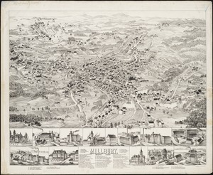
Millbury, Mass., 1880
7404.
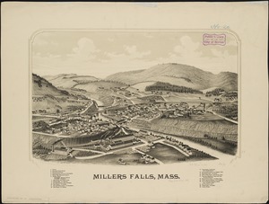
Millers Falls, Mass
7405.
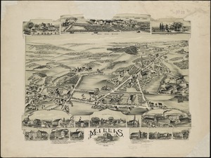
Millis, Massachusetts : 1890
7406.
Mills map of the several routes proposed to the Pacific Ocean from the head waters of the Missouri, to the Isthmus of Darien
7407.
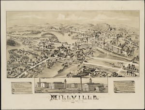
Millville, Massachusetts : 1887
7408.
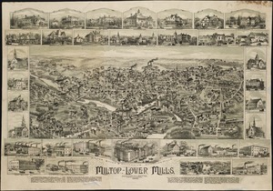
Milton, Lower Mills, Massachusetts : 1890
7409.
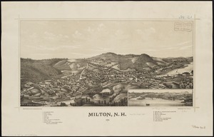
Milton, N.H : 1888
7410.
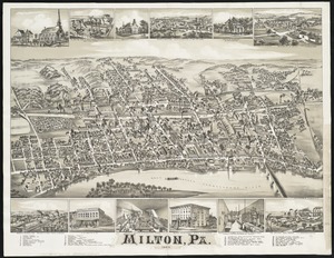
Milton, Pa
7411.
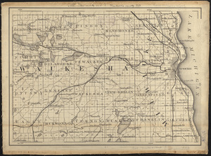
Milwaukee County and Waukesha County, Wis.
7412.
Minerals
7413.
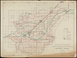
Minidoka Project, Idaho
7414.
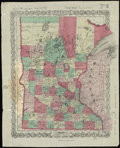
Minnesota
7415.
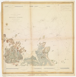
Minots Ledge off Boston Harbor : showing the proposed site of a light house
7416.
Miramichi Bay
7417.
Mississipi River, from Iberville to Yazous
7418.
[Mississippi River near Vicksburg and vicinity]
7419.
Mississippi Sound showing lines of soundings through Ship Island Pass, and from Ship Island Harbor to the main coast of...
7420.
Mississippi Territory and Georgia
« Previous
Next »
1
2
…
367
368
369
370
371
372
373
374
375
…
550
551
Limit your search
Subject
Real property--Massachusetts--Boston--Maps
2,278
Landowners--Massachusetts--Boston--Maps
2,117
Boston (Mass.)--Maps
1,966
Roxbury (Boston, Mass.)--Maps
351
Dorchester (Boston, Mass.)--Maps
317
Cambridge (Mass.)--Maps
266
Brookline (Mass.)--Maps
236
Real property--Massachusetts--Cambridge--Maps
216
more
Subject
»
Place
North and Central America
7,815
United States
6,434
Suffolk (county)
3,338
Boston
3,198
Massachusetts
3,167
Europe
963
Middlesex (county)
617
Canada
427
more
Place
»
Format
Maps/Atlases
10,946
Manuscripts
214
Prints
51
Books
35
Objects/Artifacts
10
Drawings/Illustrations
8
Posters
4
Photographs
1
Available to use
No known restrictions
10,933
Creative Commons license
46
Date
View distribution
Current results range from
1482
to
2023
Date range begin
Date range end
View larger »
Collection
Norman B. Leventhal Map Center Collection
11,003
Boston and New England Maps (Collection of Distinction)
5,106
Urban Maps (Collection of Distinction)
4,846
Maritime Charts and Atlases (Collection of Distinction)
750
American Revolutionary War-Era Maps (Collection of Distinction)
615
Boston Redevelopment Authority Collection
86
Sidney R. Knafel Map Collection at Phillips Academy
2
Chinese Progressive Association Records
1
Institution
Boston Public Library
11,003
Phillips Academy
2
Northeastern University Library
1


![[Mississippi River near Vicksburg and vicinity]](https://bpldcassets.blob.core.windows.net/derivatives/images/commonwealth:6w924q741/image_thumbnail_300.jpg)