Skip to search
Skip to main content
Skip to first result
Digital Commonwealth
Folders
Sign Up / Log In
Search for
Search
Search
Search
Basic
Advanced
Explore
Map
Collections
Institutions
Formats
For Educators
Primary Source Sets
Lesson Plans
Using Primary Sources
Searching Digital Commonwealth
For Institutions
Join Digital Commonwealth
Conferences, Trainings, & Events
How to Contribute Collections
Digitization Services
Board & Committees
Frequently Asked Questions
About
About Digital Commonwealth
News & Announcements
Copyright & Terms of Use
Harmful Content Statement
Partners
API
Contact Us
Search
Search Constraints
Start Over
Save Search
Your search:
More Like
commonwealth:t435gh17s
✖
Remove constraint More Like: commonwealth:t435gh17s
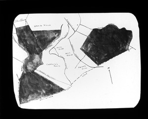
« Prev.
|
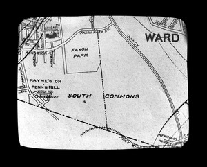
41
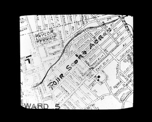
-
60
of
663
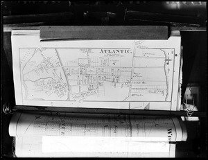
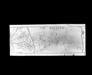
|
Next »
Sort
by relevance
relevance
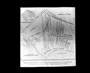
title
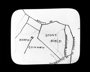
date (asc)
date (desc)
Number of results to display per page
20
per page
per page
10
per page
20
per page
50
per page
100
per page
View results as:
List
list view
Maps
map view
Gallery
grid view
Search Results
41.
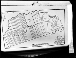
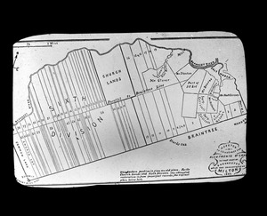
Original grants Town of Milton
42.
Original grants town of Milton
43.
Ownership of Peak House (plots, valuation, zoning)
44.
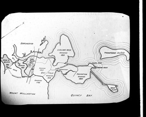
Plan, annexations to Quincy from Dorchester
45.
Plan Captains Plain
46.
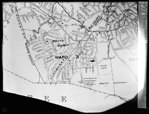
Plan Captains Plain, Mill Field, South Common
47.
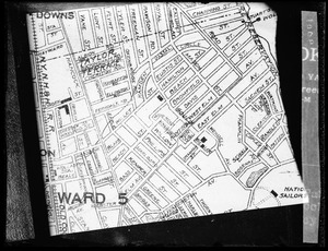
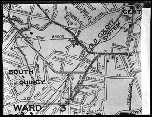
Plan center of Quincy
48.
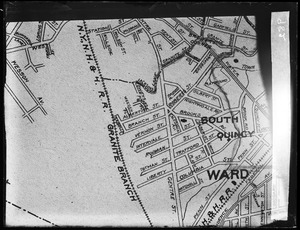
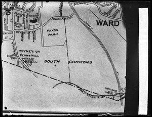
Plan Faxon Park (South Common)
49.
Plan Four Score Acres
50.
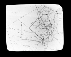
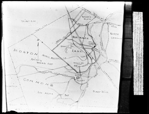
Plan, Furnace Land and Boston Commons
51.
Plan Mill Field
52.
Plan Mill Property
53.
Plan of Atlantic 1876
54.
Plan of Atlantic 1876
55.
Plan of Faxon Park (South Common)
56.
Plan of Four Score Acres
57.
Plan of Furnace Land
58.
Plan of Quincy Neck land acquired by state
59.
Plan of Stony Field
60.
Plan of Town Commons
« Previous
Next »
1
2
3
4
5
6
7
…
33
34
Limit your search
Subject
Land subdivision
212
WHS student
76
Lakes & ponds
36
Houses
25
Authors
23
Billboards
22
Commercial streets
17
City planning
15
more
Subject
»
Place
North and Central America
391
United States
387
Massachusetts
384
Middlesex (county)
184
Watertown
181
Lunenburg
151
Worcester (county)
151
Norfolk (county)
37
more
Place
»
Format
Photographs
469
Prints
82
Maps/Atlases
72
Manuscripts
23
Documents
19
Posters
15
Drawings/Illustrations
6
Newspapers
4
more
Format
»
Available to use
Creative Commons license
499
No known restrictions
154
Date
View distribution
Current results range from
1687
to
2005
Date range begin
Date range end
View larger »
Unknown
6
Collection
Watertown People
212
1950 Aerial Mapping of Lunenburg, Ma.
151
Watertown Maps
65
Watertown Miscellaneous
60
Watertown Street Views
46
Parker Collection
34
Watertown Schools
33
Watertown Houses
20
more
Collection
»
Institution
Watertown Free Public Library
465
Lunenburg Massachusetts Historical Society
151
Thomas Crane Public Library
34
Frederick Law Olmsted National Historic Site
5
Peak House Heritage Center
3
Boston Public Library
2
Jones Library, Amherst
2
Town of Rockport
1