Skip to search
Skip to main content
Skip to first result
Digital Commonwealth
Folders
Sign Up / Log In
Search for
Search
Search
Search
Basic
Advanced
Explore
Map
Collections
Institutions
Formats
For Educators
Primary Source Sets
Lesson Plans
Using Primary Sources
Searching Digital Commonwealth
For Institutions
Join Digital Commonwealth
Conferences, Trainings, & Events
How to Contribute Collections
Digitization Services
Board & Committees
Frequently Asked Questions
About
About Digital Commonwealth
News & Announcements
Copyright & Terms of Use
Harmful Content Statement
Partners
API
Contact Us
Search
Search Constraints
Start Over
Save Search
Your search:
More Like
commonwealth:sq87f027p
✖
Remove constraint More Like: commonwealth:sq87f027p
« Prev.
|
201
-
300
of
11,814
|
Next »
Sort
by relevance
relevance
title
date (asc)
date (desc)
Number of results to display per page
100
per page
per page
10
per page
20
per page
50
per page
100
per page
View results as:
List
list view
Maps
map view
Gallery
grid view
Search Results
201.
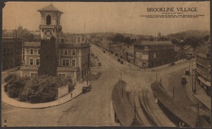
Brookline Village
202.
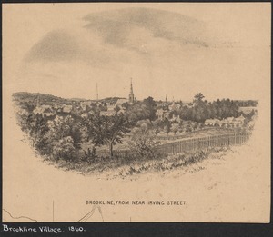
Brookline Village, from near Irving St.
203.
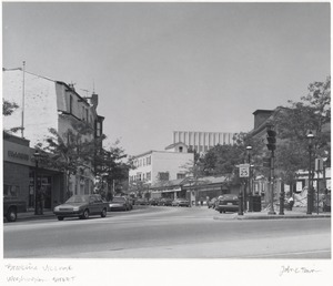
Brookline Village, looking up Washington Street
204.
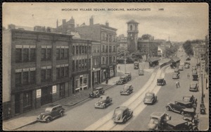
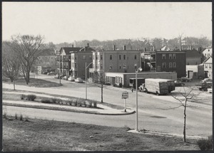
Brookline Village Square, Brookline, Massachusetts
205.
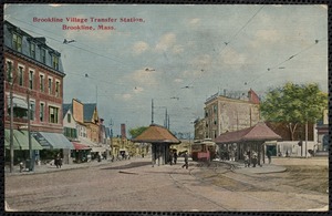
Brookline Village transfer station, Brookline, Mass.
206.
Brookline Village, view from Town Hall looking down Washington St.
207.
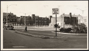
Centre Street, new parking lot
208.
Coolidge Corner
209.
Coolidge Corner
210.
Coolidge Corner
211.
Coolidge Corner
212.
Coolidge Corner
213.
Coolidge Corner
214.
Corey Hill
215.
Corey Hill
216.
Corey Hill
217.
Corey Hill
218.
Corey Hill
219.
Greenough Street, Brookline, Mass.
220.
Hancock Village
221.
Hancock Village
222.
Harvard and Green Streets
223.
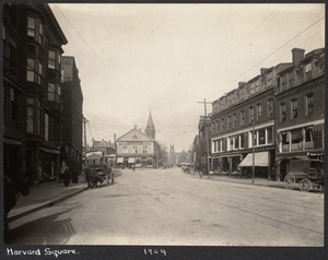
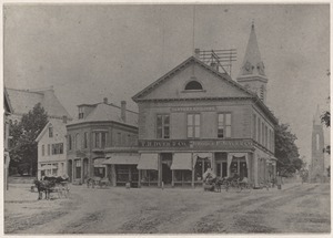
Harvard Square
224.
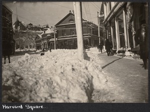
Harvard Square
225.
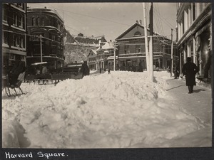
Harvard Square
226.
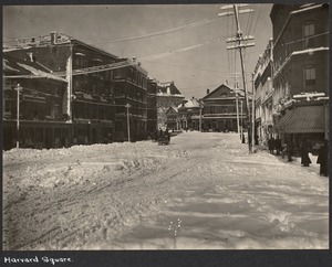
Harvard Square
227.
Harvard Square
228.
Harvard Square
229.
Harvard Square
230.
Harvard Square
231.
Harvard Square
232.
Harvard Square (Brookline Village)
233.
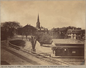
Harvard Square in 1865
234.
Harvard Square in 1865, station draped in honor of President Lincoln
235.
Harvard St. at Pierce St.
236.
Harvard Street & Kent St.
237.
Harvard Street, Baptist church on corner of Pierce St.
238.
Harvard Street from Harvard Sq.
239.
Harvard Street widening, Talbot brick building
240.
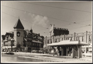
Hearthstone Plaza, Brookline Village
241.
Heath Hill
242.
Kilsyth Road
243.
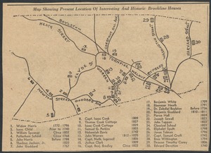
Map 1709-1829
244.
Mounted, from Boston Evening Transcript
245.
Municipal Court
246.
Paine's News Corner, Harvard Square, Brookline, Mass.
247.
Paine's News Corner, Harvard Square, Brookline, Mass.
248.
Parker Hill
249.
Parker Hill
250.
Parker Hill
251.
The Parkway
252.
Pond Street
253.
Pond Street
254.
Reservoir Road looking east
255.
School Street
256.
St. Mary's Church, from 44 Harvard Ave.
257.
State election 1956
258.
Station Street
259.
Station Street
260.
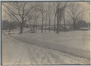
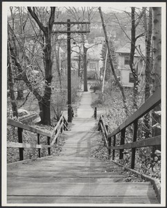
Summit Avenue Path
261.
Summit Street
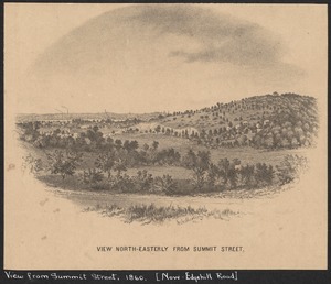
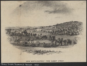
262.
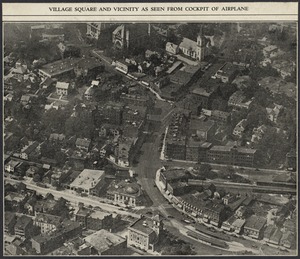
Summit Street (Edgehill Rd.)
263.
Town Seal
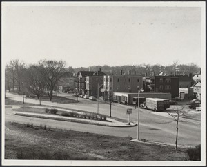
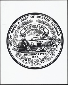
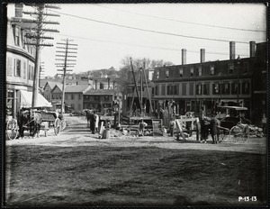
264.
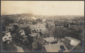
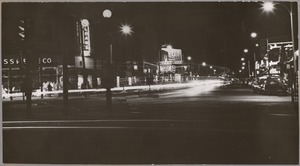
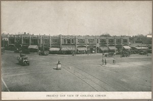
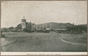
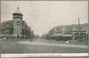
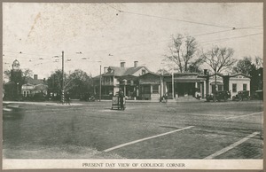
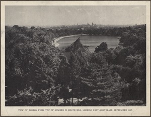
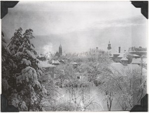
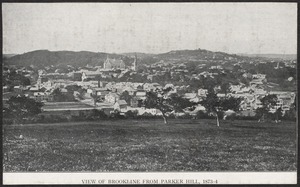
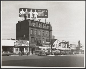
View of Brookline from Parker Hill
265.
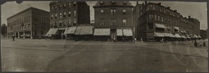
Village Square
266.
Village Square
267.
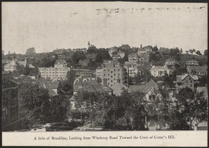
Village Square
268.
Village Square
269.
Village Square
270.
Village Square, 1885
271.
Village Square, 200th anniversary of the town
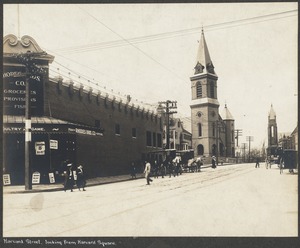
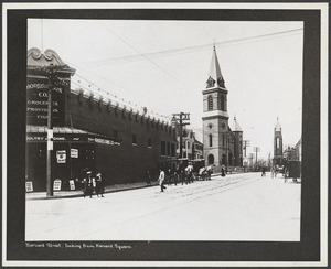
272.
Walnut & Warren Streets
273.
Walnut Street
274.
Walnut Street
275.
Warren & Cottage Streets
276.
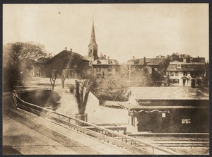
Washington Square, 1873
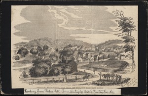
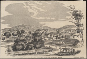
277.
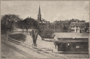
Washington Square and Beacon Street
278.
Washington Street
279.
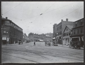
Washington Street at Brookline Village
280.
Washington Street at Brookline Village
281.
Washington Street, Brookline Village
282.
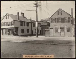
Washington Street, corner of Pearl
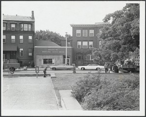
283.
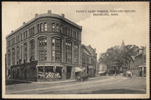
Washington Street in front of Town Hall
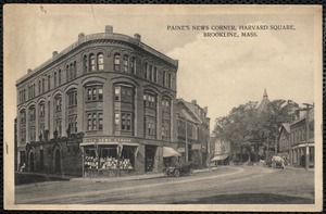
284.
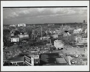
Washington Street near Harvard Square
285.
Waverly Street
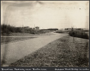
286.
Winchester Street from Beacon
287.
Winchester Street from Beacon St.
288.
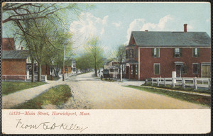
12125 Main Street, Harwichport, Massachusetts
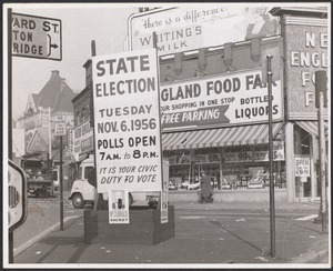
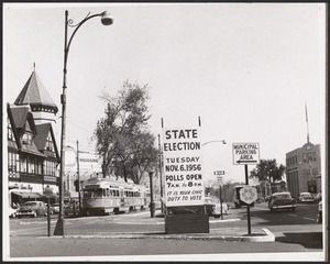
289.
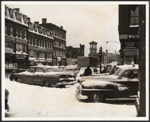
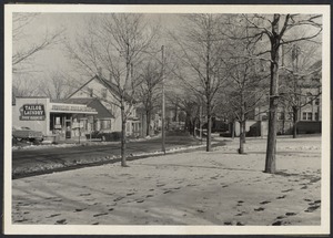
133 Old King's Highway Yarmouth Port, Mass.
290.
#136 Hadley St. view of house and workshop looking NEly, July 18, 1936
291.
154 Hampshire, Concord St.
292.
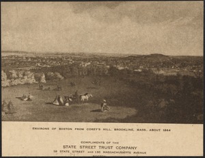
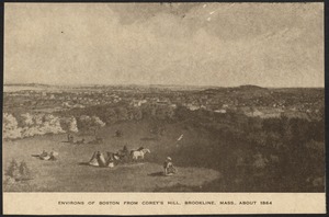
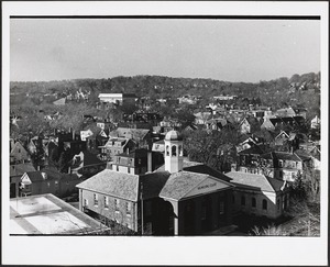
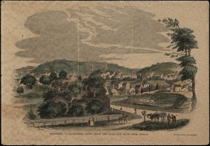
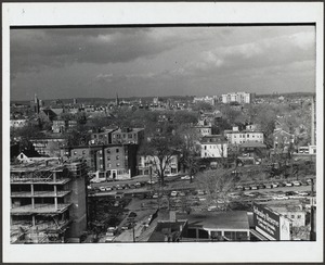
"18 months of confinement" Post Commissary, Marine base Quantico, VA
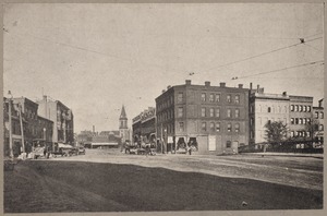
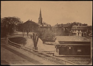
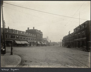
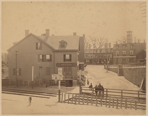
293.
194 Old King's Highway, Yarmouth Port, Mass.
294.
194 Old King's Highway, Yarmouth Port, Mass.
295.
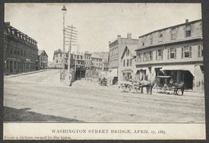
194 Old King's Highway, Yarmouth Port, Mass.
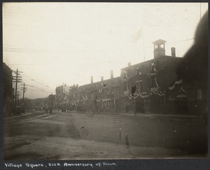
296.
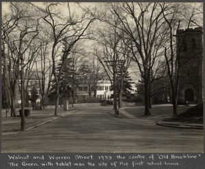
220 Old King's Highway (Route 6A), Yarmouthport, Mass.
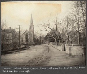
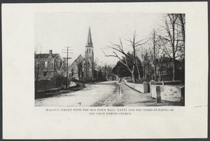
297.
232 Chestnut Street
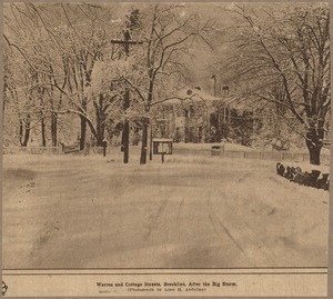
298.
240 Chestnut Street
299.
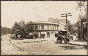
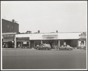
25 to 29 Arch St.
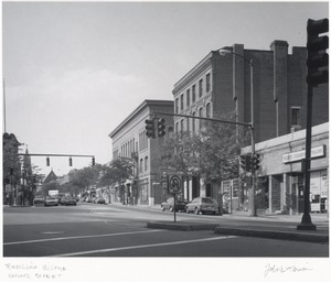
300.
267 Chestnut Street
« Previous
Next »
1
2
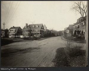
3
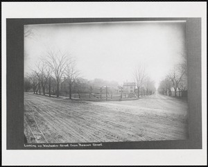
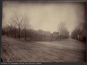
4
5
6
7
…
118
119
Limit your search
Subject
Cities & towns
7,971
Stores & shops
2,039
Streets
1,363
Rivers
705
Buildings
505
Houses
447
Waterfronts
440
Public Library of Brookline
385
more
Subject
»
Place
North and Central America
9,801
United States
9,681
Massachusetts
7,529
Norfolk (county)
2,506
Suffolk (county)
2,119
Boston
2,000
Brookline
1,762
Essex (county)
1,647
more
Place
»
Format
Photographs
8,237
Postcards/Cards
2,457
Prints
1,205
Drawings/Illustrations
129
Paintings
79
Ephemera
25
Maps/Atlases
25
Manuscripts
23
more
Format
»
Available to use
No known restrictions
4,658
Creative Commons license
3,700
Date
View distribution
Current results range from
1709
to
2019
Date range begin
Date range end
View larger »
Unknown
137
Collection
Brookline Photograph Collection
2,092
Tichnor Brothers Postcard Collection
1,887
Bill Lane Photograph Collection
1,205
Boston Pictorial Archive (Collection of Distinction)
579
Parker Collection
504
British Artists
495
Nicholas Catsimpoolas Collection
455
Spencer Grant Collection
396
more
Collection
»
Institution
Boston Public Library
5,984
Public Library of Brookline
2,092
Newburyport Public Library
1,205
Thomas Crane Public Library
505
Phillips Library at the Peabody Essex Museum
263
Griffin Museum of Photography
235
Lee Library Association
204
Needham Free Public Library
167
more
Institution
»