Skip to search
Skip to main content
Skip to first result
Digital Commonwealth
Folders
Sign Up / Log In
Search for
Search
Search
Search
Basic
Advanced
Explore
Map
Collections
Institutions
Formats
For Educators
Primary Source Sets
Lesson Plans
Using Primary Sources
Searching Digital Commonwealth
For Institutions
Join Digital Commonwealth
Conferences, Trainings, & Events
How to Contribute Collections
Digitization Services
Board & Committees
Frequently Asked Questions
About
About Digital Commonwealth
News & Announcements
Copyright & Terms of Use
Harmful Content Statement
Partners
API
Contact Us
Search
Search Constraints
Start Over
Save Search
Your search:
More Like
commonwealth:qv33t937t
✖
Remove constraint More Like: commonwealth:qv33t937t
« Prev.
|
401
-
500
of
647
|
Next »
Sort
by relevance
relevance
title
date (asc)
date (desc)
Number of results to display per page
100
per page
per page
10
per page
20
per page
50
per page
100
per page
View results as:
List
list view
Maps
map view
Gallery
grid view
Search Results
401.
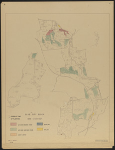
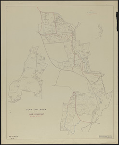
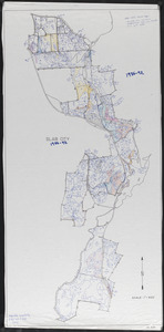
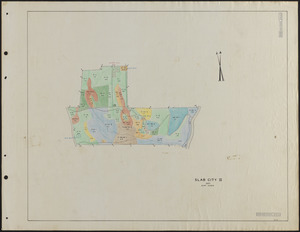
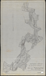
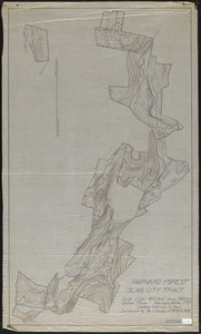
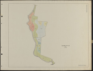
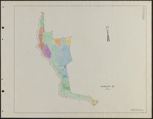
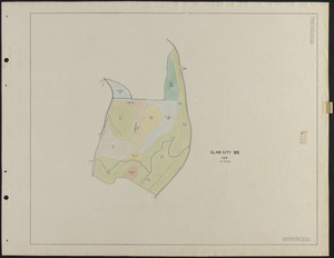
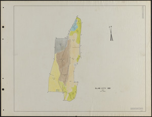
Slab City Block Stand Map 1946 Plantations
402.
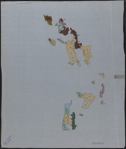
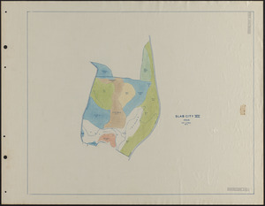
Slab City Block Stand map Compartments II - X plus old SC I (Whitney lot)
403.
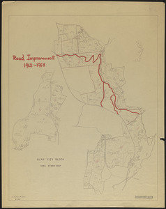
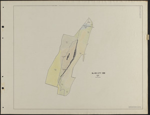
Slab City Block Stand Map Road Improvement - 1962-1963
404.
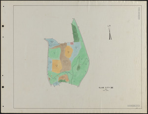
Slab City Block Standing Timber by Type, Volume and Quality - Overlay
405.
Slab City Block Trail Mowing Operations Roads-Trails
406.
Slab City Forest Operations Periods 1-3
407.
Slab City Forest Operations Periods 4-7
408.
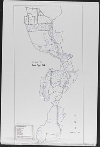
Slab City Forest Types 1909
409.
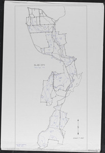
Slab City Forest Types 1912
410.
Slab City Forest Types 1919
411.
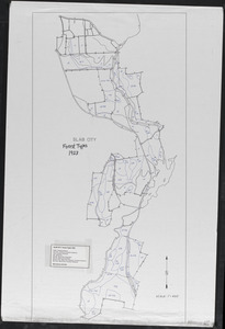
Slab City Forest Types 1923
412.
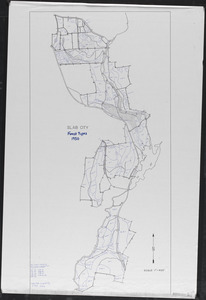
Slab City Forest Types 1930
413.
Slab City Forest Types 1986-92
414.
Slab City I 1927 Stand Map
415.
Slab City I 1932 Stand Map
416.
Slab City I 1937 Stand Map
417.
Slab City I Stand Map 1924, 1925-26
418.
Slab City II 1930 Stand Map
419.
Slab City II 1932 Stand Map
420.
Slab City II 1933 Stand Map
421.
Slab City II 1936 Stand Map
422.
Slab City II 1937 Stand Map
423.
Slab City II Stand Map 1924, 1925-26-27
424.
Slab City III 1924-25, 1926 Stand Map
425.
Slab City III 1927 Stand Map
426.
Slab City III 1932 Stand Map
427.
Slab City III 1937 Stand Map
428.
Slab City IV 1924, 1925-26-27 Stand Map
429.
Slab City IV 1930 Stand Map
430.
Slab City IV 1937 Stand Map
431.
Slab City IX 1924-25 stand map
432.
Slab City IX 1931 stand map
433.
Slab City IX 1937 stand map
434.
Slab City IX and X stand maps 1912, 1919, 1927, 1937, 1946, 1956
435.
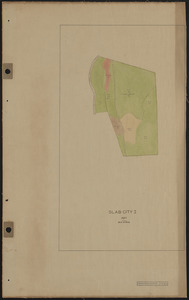
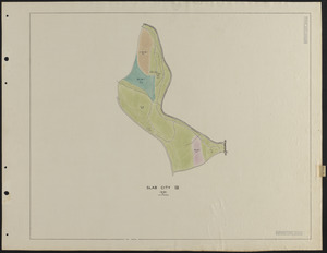
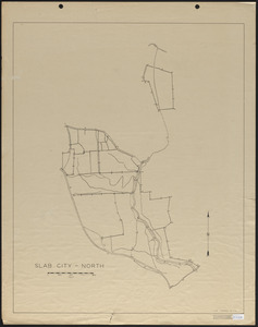
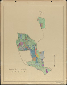
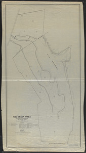
Slab City North
436.
Slab City North 1937 Stand Map
437.
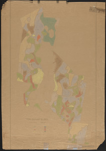
Slab City Soils
438.
Slab City Soils Map - 1940
439.
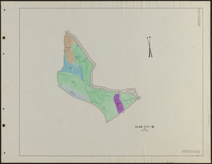
Slab City South
440.
Slab City South 1937 Stand Map
441.
Slab City Stand Map - 1930
442.
Slab City Tract Blister Rust Study
443.
Slab City Tract Land Use Map 1850
444.
Slab City Tract of Harvard Forest Topographic Map of Compartments II - X
445.
Slab City Tract Original Proprietors' Grants
446.
Slab City Tract Physical Features, Including Topography
447.
Slab City Tract Stand Map Compartments II - X plus old SC I (Whitney lot)
448.
Slab City Tract Stand Map Surveyed by the Class of 1909-1912 Compartments II - X
449.
Slab City Tract Topographic Map of Compartments II - X
450.
Slab City Tract Topographic Map of Compartments II - X
451.
Slab City V 1924-27 Stand Map
452.
Slab City V 1931 Stand Map
453.
Slab City V 1937 Stand Map
454.
Slab City VI 1924, 1925-26-27 Stand Map
455.
Slab City VI 1931 Stand Map
456.
Slab City VI 1937 Stand Map
457.
Slab City VII 1924, 1925-26-27 Stand Map
458.
Slab City VII 1931 Stand Maps
459.
Slab City VII 1935 Stand Maps
460.
Slab City VII 1937 Stand Maps
461.
Slab City VIII 1931 Stand Map
462.
Slab City VIII 1937 Stand Map
463.
Slab City VIII/IX 1924-25, 1926-27 Stand Maps
464.
Slab City X 1924-27 stand map
465.
Slab City X 1931 stand map
466.
Slab City X 1937 stand map
467.
Slab City XI 1925-27 stand map
468.
Slab City XI 1929 stand map
469.
Slab City XI 1933 stand map
470.
Slab City XI 1937 stand map
471.
Soil Classification Town of Petersham
472.
Soil Texture Map for the Cove Areas of the Black Rock Forest
473.
Stand and reproduction cutting map of the Adams-Fay Lot (TS IX)
474.
Stand Map of Parts of Petersham and Barre, MA
475.
Stand map of Tom Swamp Annex (TS IX)
476.
Stand map of Tom Swamp I-VIII
477.
Stand maps of Tom Swamp-North 1937
478.
Stand maps of Tom Swamp-North 1947
479.
Stand maps of Tom Swamp-South 1937
480.
Stand maps of Tom Swamp-South 1947
481.
Standing timber by type, volume and quality Tom Swamp North
482.
Standing timber by type, volume and quality Tom Swamp South
483.
The Stone Walls of Petersham - mylar overlay
484.
Study of Cutover Old Field Pine Stands
485.
Subdivision of Parcel 579 - Nadeau Realty, Inc
486.
Surficial Geologic Map of the Athol Quadrangle. MA
487.
Surficial Geology and glaciofluvial sequences of the Athol Quadrangle - preliminary map 1963 and final maps 1966
488.
Survey of a Massachusetts Town - Petersham
489.
Survey of Adams-Fay Lot (TS IX)
490.
Survey of Joseph C. Smith Lot (TS VII) Tom Swamp Block
491.
Survey of Riceville Dam and North Boundary of TS IX
492.
Survey of Tom Swamp South, Petersham, MA
493.
Surveys of Petersham Lots
494.
SW00 0 x 0 ft. Block of Lyford Grid
495.
SW01 0 x 100 ft. Block Lyford Grid
496.
SW10 100 x 0 ft. Block Lyford Grid
497.
SW11 100 x 100 ft. Block Lyford Grid
498.
SW20 200 x 0 ft. Block Lyford Grid
499.
SW21 200 x 100 ft. Block Lyford Grid
500.
SW22 200 x 200 ft. Block Lyford Grid
« Previous
Next »
1
2
3
4
5
6
7
Limit your search
Subject
Boundaries
151
Forest operations
47
1937
44
1938
41
Hurricanes
37
Land use
37
1946
31
Forest Operations
27
more
Subject
»
Place
North and Central America
647
United States
647
Massachusetts
624
Worcester (county)
597
Petersham
588
Tom Swamp
158
Prospect Hill
153
Tom Swamp Tract
97
more
Place
»
Format
Maps/Atlases
646
Manuscripts
4
Photographs
1
Available to use
Creative Commons license
647
Date
View distribution
Current results range from
1755
to
2016
Date range begin
Date range end
View larger »
Collection
The Harvard Forest Map Collection
647
Institution
Harvard University
647