Search


Limit your search
- waterworks19,971
- reservoirs (water distribution structures)11,159
- real estate8,716
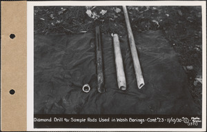
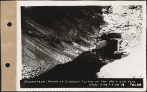
- construction sites7,824
- residential structures2,743
- cemeteries2,239
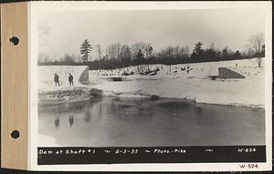
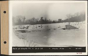
- dams (hydraulic structures)1,974
- general views1,888
- North and Central America19,995
- United States19,992
- Massachusetts18,999
- Worcester (county)10,412
- Hampshire (county)3,015
- Middlesex (county)3,003
- Clinton1,896
- West Boylston1,793
- No known restrictions19,971
- Massachusetts Metropolitan Water Works Photograph Collection, 1876-1930 (bulk, 1895-1921)8,963
- Massachusetts Metropolitan District Water Supply Commission, Quabbin Reservoir, Photographs of Contract Construction (selections from), 1928-19473,784
- Massachusetts Metropolitan District Water Supply Commission, Quabbin Reservoir, Photographs of Real Estate in the Swift River Valley, and of General Engineering of Quabbin Reservoir, 1927-19503,004
- Massachusetts Metropolitan District Water Supply Commission, Quabbin Reservoir, Photographs of Cemeteries, 1928-19452,112
- Massachusetts Metropolitan District Water Supply Commission, Quabbin Reservoir, Photographs of Real Estate, Sanitary Conditions, and Flooding in the Ware River Watershed, and of General Engineering, 1928-19482,035
- Massachusetts Metropolitan Water Works Wachusett Reservoir Land Survey Plans Indexing Real Estate Photographs, 1896-189872
- Nina Heald Webber Cape Cod Canal collection (MS028)18
- General photographic collection (PC001)2