Search
Limit your search
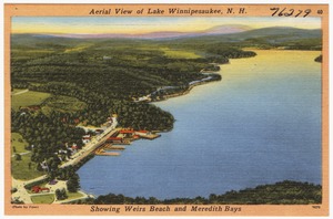
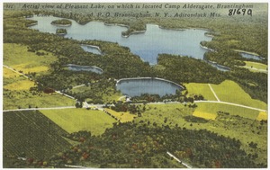
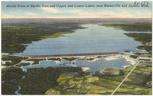
- Lakes & ponds3,790
- Floods593
- Parks545
- Boats515
- Business enterprises511
- Trees353
- Buildings341
- Parades & processions297
- North and Central America5,292
- United States5,223
- Massachusetts3,903
- Berkshire (county)2,107
- Lee1,971
- East Lee640
- Suffolk (county)559
- Boston529
- Lee Library Historical Photograph Collection2,189
- Tichnor Brothers Postcard Collection1,270
- Leon Abdalian Collection232
- College Archives Digital Collections208
- Stereograph Collection185
- Falmouth Public Library Historical Postcard Collection134
- Leslie Jones Collection122
- Project DOCUMERICA Photographs by Ernst Halberstadt121