Search
Limit your search
- Mountains1,820
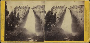
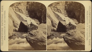
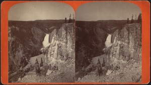
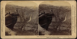
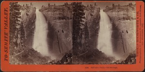
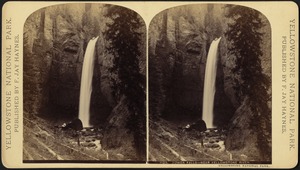
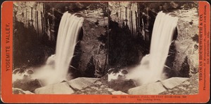
- Waterfalls579
- Rivers451
- Lakes & ponds421
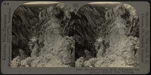
- Parks330
- Cities & towns304
- Trees286
- Children246
- North and Central America4,889
- United States4,434
- Massachusetts1,314
- Europe812
- Suffolk (county)723
- Boston716
- Asia461
- California446