Skip to search
Skip to main content
Skip to first result
Digital Commonwealth
Folders
Sign Up / Log In
Search for
Search
Search
Search
Basic
Advanced
Explore
Map
Collections
Institutions
Formats
For Educators
Primary Source Sets
Lesson Plans
Using Primary Sources
Searching Digital Commonwealth
For Institutions
Join Digital Commonwealth
Conferences, Trainings, & Events
How to Contribute Collections
Digitization Services
Board & Committees
Frequently Asked Questions
About
About Digital Commonwealth
News & Announcements
Copyright & Terms of Use
Harmful Content Statement
Partners
API
Contact Us
Search
Search Constraints
Start Over
Save Search
Your search:
More Like
commonwealth:nv935h80m
✖
Remove constraint More Like: commonwealth:nv935h80m
« Prev.
|
101
-
200
of
31,762
|
Next »
Sort
by relevance
relevance
title
date (asc)
date (desc)
Number of results to display per page
100
per page
per page
10
per page
20
per page
50
per page
100
per page
View results as:
List
list view
Maps
map view
Gallery
grid view
Search Results
101.
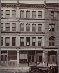
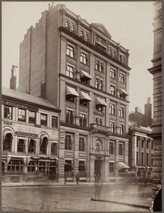
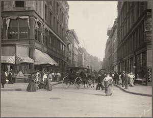
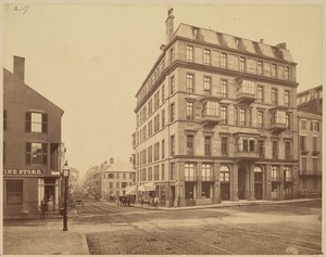
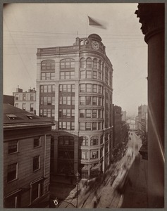
Court Street. Sears block
102.
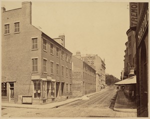
Devonshire Street
103.
Devonshire Street
104.
Dock Sq.
105.
Dock Square
106.
Dock Square
107.
The "Donahoe" building, Franklin Street, Boston, Mass.
108.
Eliot Street, looking east from Tremont Street, before widening. May 5, 1920
109.
Entrance to Cornhill from Washington St.
110.
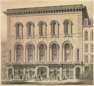
The facade of the Tremont Temple, the 2nd building of this name, after original burnt down. Rebuilt in 1852
111.
Faneuil Hall Square
112.
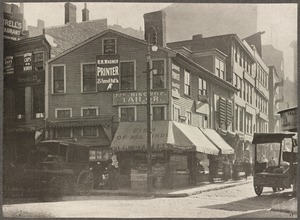
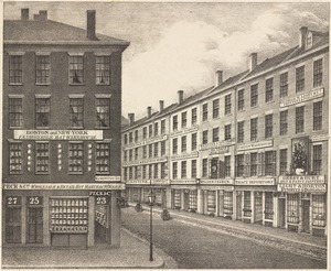
Franklin Pl., now Franklin St., from Hawley St. to Arch St. on right, before the big fire in 1872. Stable on left (upper) cor....
113.
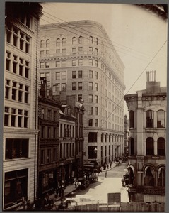
Franklin St.
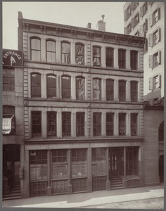
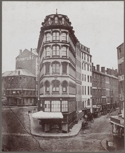
114.
Franklin Street
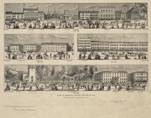
115.
Grand panoramic view of the west side of Washington Street, Boston, Mass., commencing at the corner of Court Street, and...
116.
"Hathaway" and "New England" buildings, 620 Atlantic Avenue, next to N.Y. & N.E. Railroad Station. Sunny offices, facing south
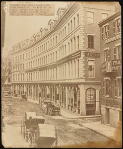
117.
Huntington Avenue, Mechanics Building, 1897
118.
Looking down Newbury St. from intersection of Berkeley St. Ritz-Carlton Hotel at end
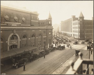
119.
Massachusetts and Westland Avenue, Boston showing corners of Symphony Hall and the storage warehouse
120.
Massachusetts Avenue
121.
Massachusetts Avenue, about 1926
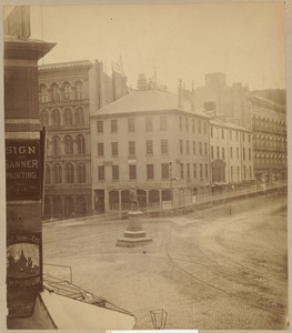
122.
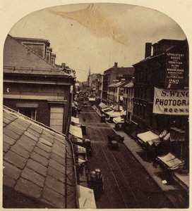
Massachusetts Avenue, from Horticultural Hall, looking toward Westland Avenue, October 27, 1916
123.
Massachusetts. Boston. Court Square, 1870. Site of Young's Hotel
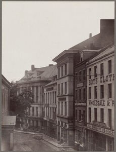
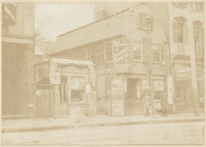
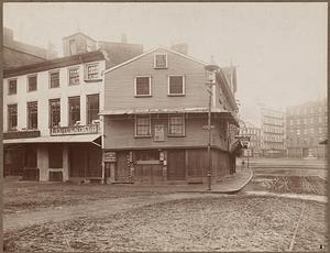
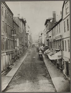
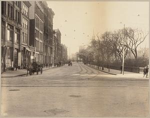
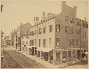
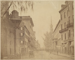
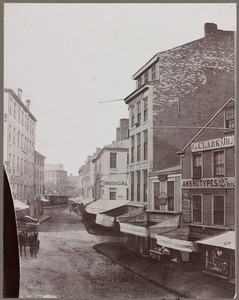
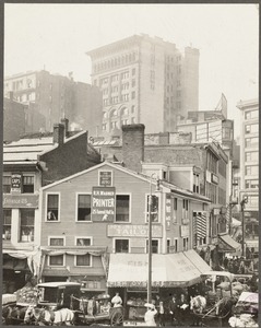
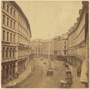
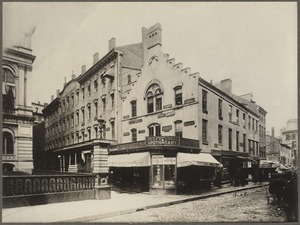
124.
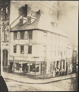
Massachusetts. Boston. Looking up Franklin Street from Devonshire. 1857
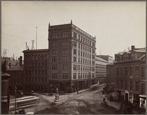
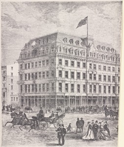
125.
Massachusetts. Boston. Niles Building 1880. Corner School St. and City Hall Avenue
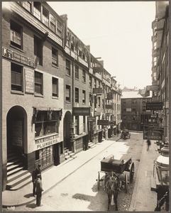
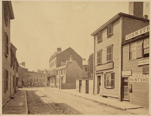
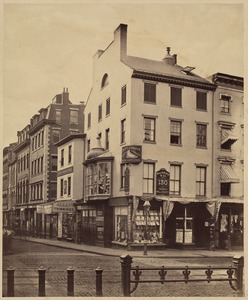
126.
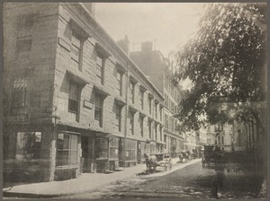
Massachusetts. Boston. Scollay Square. Hemenway Building, about 1888
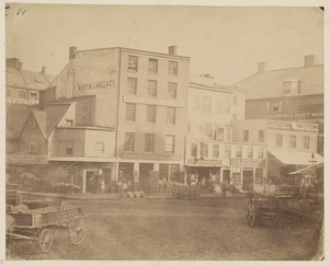
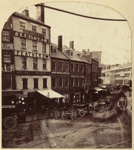
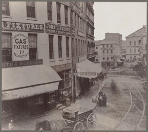
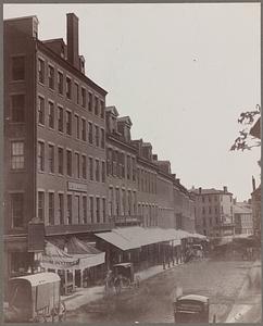
127.
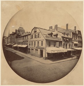
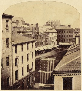
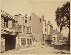
Milk St. Bos[ton]. Old P. O. on the left
128.
Milk Street, showing birthplace of Benjamin Franklin
129.
New England Merchants Bank Building. Congress Street façade from Dock Square
130.
Newbury Street
131.
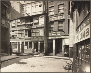
No. 31-39 Province Street
132.
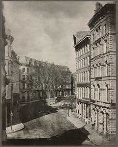
No. 92-94 High St. running through to No. 39 Matthews St.
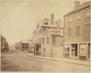
133.
North Market St., about 1855
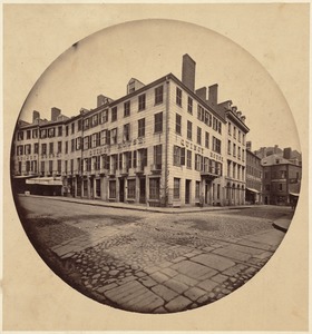
134.
North side of Dock Square, looking toward Union St. 1865
135.
Nos. 105-115 Providence St. running through to Nos. 324-334 Boylston St.
136.
Nos. 15-21 Oliver St.
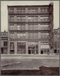
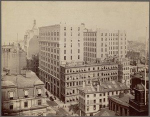
137.
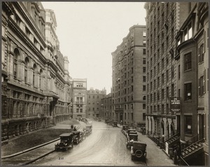
Old Boston: Washington Street
138.
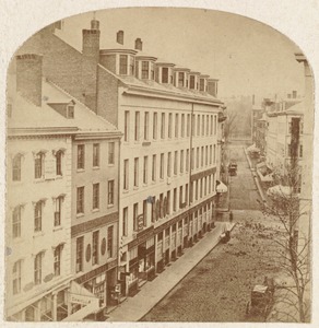
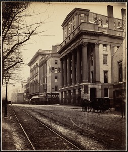
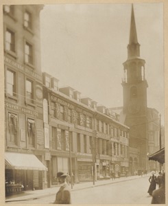
Old building, 263 Tremont St.
139.
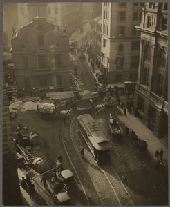
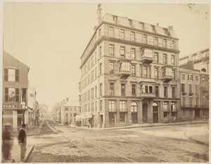
Old corner bookstore Washington and School Sts.
140.
Old corner, built in 1690. Faneuil Square
141.
Old State House, State Street
142.
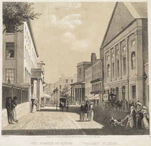
Overleaf: Identified as being a view of Batterymarch Rd.
143.
Overleaf: Unidentified picture of a corner building
144.
Pemberton Square
145.
Province Court, looking north from the corner of Province Street, July 1901
146.
Province Court, looking toward Province Street, July 1901
147.
Quincy House
148.
School Street, about 1860
149.
Scollay Buildings and old Tremont Row
150.
Scollay Square and Hemenway
151.
Scollay Square, c. 1880
152.
S.E. cor. Wash. St. looking down from Wash. St.
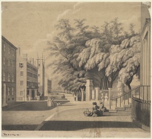
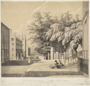
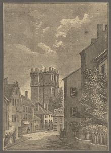
153.
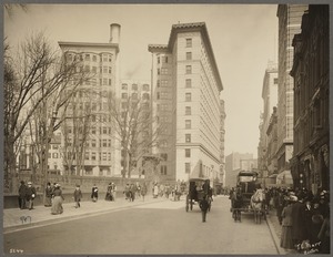
Site of Ames Building - 1891
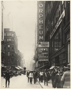
154.
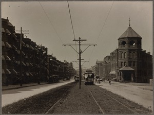
State St.
155.
State St., Boston
156.
State Street
157.
State Street
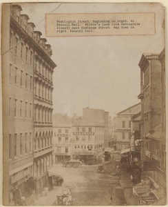
158.
State Street. Junction of Devonshire Street, March 6, 1903
159.
State Street looking north
160.
State Street looking southeast
161.
Street views: Boylston St. near the corner of Charles
162.
Street views: Boylston St. near the corner of Tremont
163.
Street views. Tremont Street
164.
The streets of Boston. Tremont St.
165.
The streets of Boston. Tremont Street
166.
The streets of Boston. Tremont Street, south
167.
The streets of Boston. Tremont Street, south
168.
Summer St. looking up from Chauncy St.
169.
Temple Place
170.
Tremont St. before widening. 1869. Looking north from Eliot St.
171.
Tremont St. before widening. 1869. Looking north from Hollis St.
172.
Tremont St. before widening. 1869. Looking south from Boylston St.
173.
Tremont St. before widening. Looking south from Boylston St., 1869
174.
Tremont St., before widening. Looking south from Eliot St., 1869
175.
Tremont St. before widening. Looking south from Hollis St., 1869
176.
Tremont St. before widening. Looking south from Warrenton St., 1869
177.
Tremont St. looking south from King's Chapel
178.
Tremont St. looking south from King's Chapel
179.
Tremont St. looking towards Park St. Church
180.
Tremont Street - 1938 - showing remains of the Colonnade Row of Bulfinch
181.
Tremont Street and Beacon Street
182.
Tremont Street, Boston
183.
Tremont Street, Boston, Massachusetts
184.
Tremont Street, corner of Bromfield
185.
View in Tremont Street, Boston, in 1853
186.
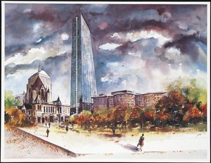
View of Boston's Copley Square showing Trinity Church and the John Hancock Tower
187.
View of theaters on Washington Street
188.
Washington and Summer Streets looking up Winter Street, August 13, 1908
189.
Washington St., Boston
190.
Washington St. from Bromfield
191.
Washington St. looking downtown in 1903 - before days of subway
192.
Washington Street
193.
Washington Street
194.
Washington Street
195.
Washington Street, beginning on right, to Faneuil Hall. Wilson's Lane (now Devonshire Street) next Exchange Street. Way down on...
196.
Washington Street, corner of West Street
197.
Washington Street, corner Summer and Winter Streets. About 1822
198.
Washington Street: "South Row" (center of the photograph), erected 1801-2 by the Old South Church Corp., razed July, 1902
199.
Water & Wash. Sts.
200.
Winter St., cor. Tremont St., 1879
« Previous
Next »
1
2
3
4
5
6
…
317
318
Limit your search
Subject
Buildings
18,148
Young Men's Christian associations
5,958
Parks
5,432
Public libraries
1,808
Streets
1,667
Boston Public Library
1,300
Houses
1,209
Churches
1,101
more
Subject
»
Place
North and Central America
29,827
United States
29,642
Massachusetts
22,541
Suffolk (county)
12,736
Boston
12,393
Essex (county)
3,448
Back Bay
1,883
Newburyport
1,671
more
Place
»
Format
Photographs
21,307
Postcards/Cards
9,168
Prints
1,080
Drawings/Illustrations
220
Newspapers
168
Paintings
112
Film/Video
95
Albums/Scrapbooks
36
more
Format
»
Available to use
Creative Commons license
15,018
No known restrictions
9,983
Date
View distribution
Current results range from
1661
to
2019
Date range begin
Date range end
View larger »
Unknown
199
Collection
Boston Pictorial Archive (Collection of Distinction)
8,929
Cliff Smith YMCA Postcard Collection
6,520
Leslie Jones Collection
1,401
Bill Lane Photograph Collection
1,391
Falmouth Public Library Historical Postcard Collection
1,208
Tichnor Brothers Postcard Collection
1,023
Arthur Griffin Photographs
848
Abbot Academy Photographs
694
more
Collection
»
Institution
Boston Public Library
14,348
Springfield College Archives and Special Collections
6,648
Newburyport Public Library
1,391
Falmouth Public Library
1,208
Griffin Museum of Photography
848
Phillips Library at the Peabody Essex Museum
812
New Bedford Free Public Library
734
Phillips Academy
725
more
Institution
»

![Milk St. Bos[ton]. Old P. O. on the left](https://bpldcassets.blob.core.windows.net/derivatives/images/commonwealth:0v83bg890/image_thumbnail_300.jpg)