Skip to search
Skip to main content
Skip to first result
Digital Commonwealth
Folders
Sign Up / Log In
Search for
Search
Search
Search
Basic
Advanced
Explore
Map
Collections
Institutions
Formats
For Educators
Primary Source Sets
Lesson Plans
Using Primary Sources
Searching Digital Commonwealth
For Institutions
Join Digital Commonwealth
Conferences, Trainings, & Events
How to Contribute Collections
Digitization Services
Board & Committees
Frequently Asked Questions
About
About Digital Commonwealth
News & Announcements
Copyright & Terms of Use
Harmful Content Statement
Partners
API
Contact Us
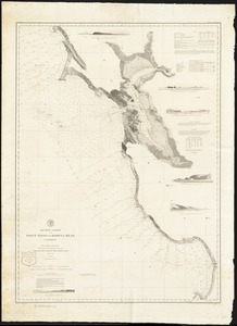
Search
Search Constraints
Start Over
Save Search
Your search:
More Like
commonwealth:n8710725c
✖
Remove constraint More Like: commonwealth:n8710725c
« Prev.
|
21
-
40
of
167
|
Next »
Sort
by date (asc)
relevance
title
date (asc)
date (desc)
Number of results to display per page
20
per page
per page
10
per page
20
per page
50
per page
100
per page
View results as:
List
list view
Maps
map view
Gallery
grid view
Search Results
21.
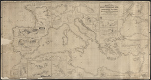
General chart of the Mediterranean Sea and a portion of the Euxine or Black Sea with particular plans of the principal harbors
22.
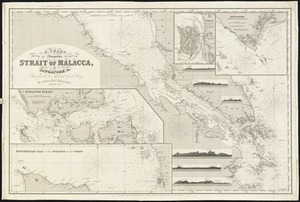
A chart showing the navigation through the Strait of Malacca, to Singapore, &c
23.
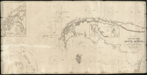
Chart of the East and West coasts of South America, extending from the River Plate round Cape Horn to Valparaiso, with plans fo...
24.
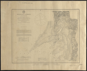
Wellfleet Harbor, Massachusetts
25.
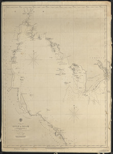
Gulf of Siam
26.
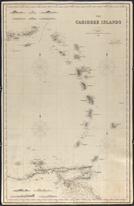
The Caribbee Islands
27.
Mediterranean Sea, part I
28.
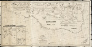
General chart of the South Atlantic or [illegible]iopic Ocean [illegible] the Equator to 65° south latitude [illegible]ng to...
29.
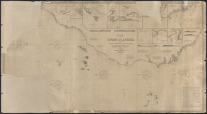
Chart of the coast of Africa from the Strait of Gibraltar to Sierra Leone
30.
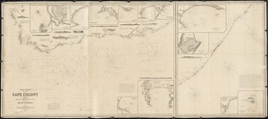
The Coast of the Cape Colony
31.
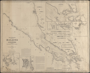
The Straits of Malacca and Singapore compiled from the most recent surveys
32.
Laurie's general chart of the coasts of Brasil, &c. from the River Para to Buenos-Ayres, with particular plans of the harbors
33.
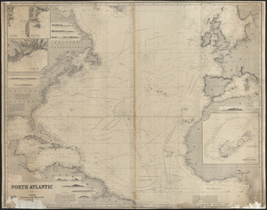
North Atlantic
34.
Laurie's general chart of the coasts of Brasil, &c. from the River Para to Buenos Ayres with particular plans of the harbours
35.
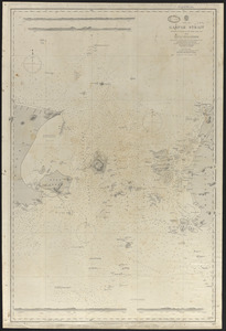
Gaspar Strait
36.
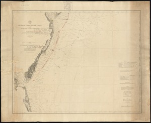
General chart of the coast, No. IV, from Cape May to Cape Henry
37.
Pacific Coast from Point Pinos to Bodega Head California
38.
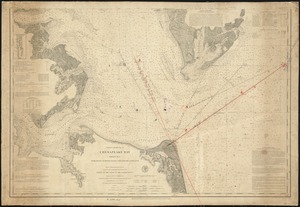
Coast Chart No. 31, Chesapeake Bay, sheet no. 1. York River Mapton Roads Chesapeake entrance
39.
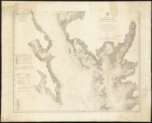
Coast Chart No. 34, Chesapeake Bay, from Choptank River to Potomac River
40.
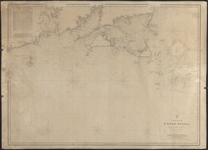
Coast of the United States from New York to Cape Ann
« Previous
Next »
1
2
3
4
5
6
…
8
9
Limit your search
Subject
Harbors
52
Coastlines
27
Bays (Bodies of water)
23
Oceans
11
Rivers
10
Channels
9
Islands
8
Seas
4
more
Subject
»
Place
North and Central America
99
United States
91
Massachusetts
30
Connecticut
17
Asia
11
Dukes (county)
10
Rhode Island
10
Barnstable (county)
9
more
Place
»
Format
Maps/Atlases
167
Available to use
Creative Commons license
167
Date
View distribution
Current results range from
1821
to
1919
Date range begin
Date range end
View larger »
Collection
Nautical Chart Collection of the Chatham Historical Society
167
Institution
Atwood Museum of the Chatham Historical Society
167

![General chart of the South Atlantic or [illegible]iopic Ocean [illegible] the Equator to 65° south latitude [illegible]ng to the latest surveys & observations](https://bpldcassets.blob.core.windows.net/derivatives/images/commonwealth:n87107022/image_thumbnail_300.jpg)