Skip to search
Skip to main content
Skip to first result
Digital Commonwealth
Folders
Sign Up / Log In
Search for
Search
Search
Search
Basic
Advanced
Explore
Map
Collections
Institutions
Formats
For Educators
Primary Source Sets
Lesson Plans
Using Primary Sources
Searching Digital Commonwealth
For Institutions
Join Digital Commonwealth
Conferences, Trainings, & Events
How to Contribute Collections
Digitization Services
Board & Committees
Frequently Asked Questions
About
About Digital Commonwealth
News & Announcements
Copyright & Terms of Use
Harmful Content Statement
Partners
API
Contact Us
Search
Search Constraints
Start Over
Save Search
Your search:
More Like
commonwealth:n87107111
✖
Remove constraint More Like: commonwealth:n87107111
« Prev.
|
121
-
140
of
167
|
Next »
Sort
by relevance
relevance
title
date (asc)
date (desc)
Number of results to display per page
20
per page
per page
10
per page
20
per page
50
per page
100
per page
View results as:
List
list view
Maps
map view
Gallery
grid view
Search Results
121.
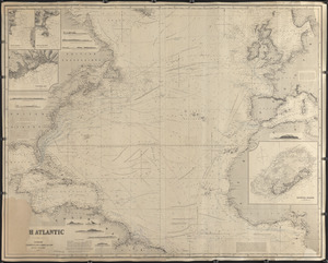
North Atlantic
122.
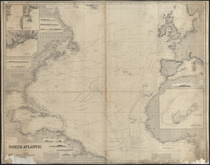
North Atlantic
123.
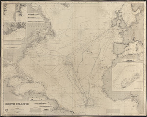
North Atlantic
124.
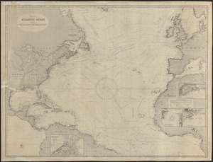
North Atlantic Ocean
125.
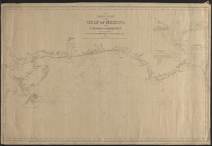
The north coast of the Gulf of Mexico for St. Marks to Galveston
126.
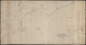
The north eastern coast of North America, New York to Cape Canso, including Sable Island
127.
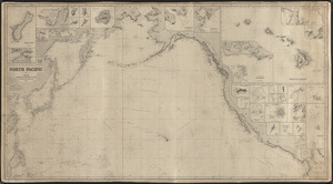
North Pacific
128.
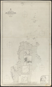
Northern portion of the island of Luzon with the Bashee & Balintang Channels
129.
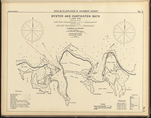
Oyster and Huntington Bays, L.I. New York
130.
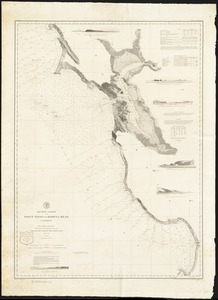
Pacific Coast from Point Pinos to Bodega Head California
131.
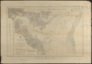
Patapsco River and the approaches
132.
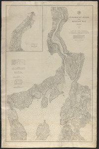
Penobscot River and Belfast Bay, Maine
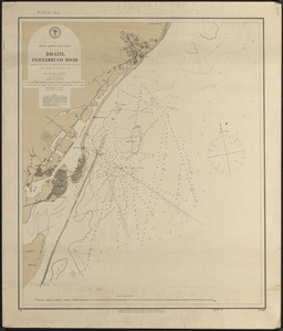
133.
Pernambuco Road, Brazil
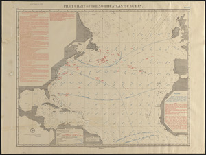
134.
Pilot chart of the North Atlantic Ocean
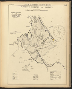
135.
Plymouth, Kingston, and Duxbury
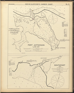
136.
Port Jefferson, L.I. New York ; Southport, Conn.
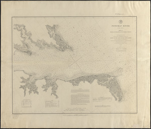
137.
Potomac River
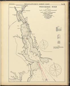
138.
Providence River, R.I.
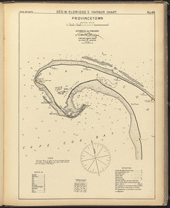
139.
Provincetown
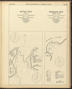
140.
Quicks Hole, Mass. ; Tarpaulin Cove, Naushon Id. Mass.
« Previous
Next »
1
2
3
4
5
6
7
8
9
Limit your search
Subject
Harbors
52
Coastlines
27
Bays (Bodies of water)
23
Oceans
11
Rivers
10
Channels
9
Islands
8
Seas
4
more
Subject
»
Place
North and Central America
99
United States
91
Massachusetts
30
Connecticut
17
Asia
11
Dukes (county)
10
Rhode Island
10
Barnstable (county)
9
more
Place
»
Format
Maps/Atlases
167
Available to use
Creative Commons license
167
Date
View distribution
Current results range from
1821
to
1919
Date range begin
Date range end
View larger »
Collection
Nautical Chart Collection of the Chatham Historical Society
167
Institution
Atwood Museum of the Chatham Historical Society
167