Search

Limit your search
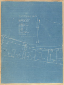
- Streets9,794
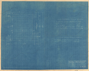
- Buildings1,360
- Houses1,223
- Cities & towns830
- Trees731
- Sewers715
- Automobiles626
- Stores & shops538
- North and Central America8,663
- United States8,611
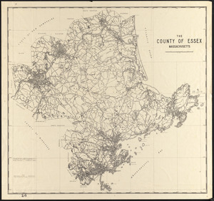
- Massachusetts8,153
- Essex (county)3,803
- Suffolk (county)1,741
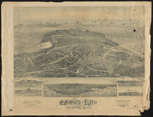
- Boston1,573
- Lawrence1,549
- Newburyport1,062
- Photographs6,661
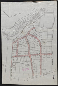
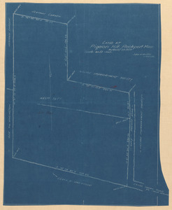
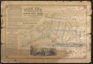
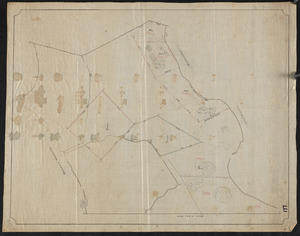
- Maps/Atlases1,676
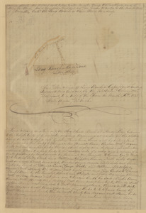
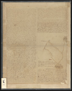
- Manuscripts1,579
- Postcards/Cards1,254
- Prints323
- Drawings/Illustrations43
- Albums/Scrapbooks28
- Ephemera22
- Bill Lane Photograph Collection931
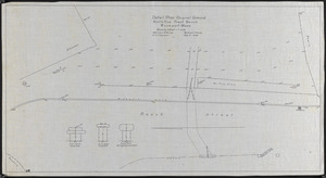
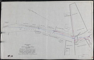
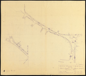
- Lawrence, Mass. Engineering Department. City Sewers720
- Lawrence, Mass. Engineering Department. City Streets667
- Arlington Historical Society Collection556
- Samuel Chamberlain Photograph Negatives Collection, 1928-1971, undated388
- Boston Pictorial Archive (Collection of Distinction)329
- Falmouth Public Library Historical Postcard Collection317
- Lynn's Streets229