Search
Limit your search
- Houses26,810
- Streets9,794
- Buildings1,593
- Trees1,512
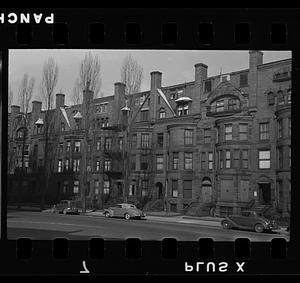
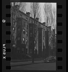
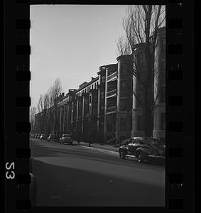
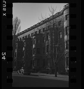
- Historic buildings1,450
- Automobiles1,429
- Interiors999
- Snow908
- North and Central America32,963
- United States32,817
- Massachusetts31,078
- Norfolk (county)10,708
- Needham9,181
- Essex (county)6,372
- Suffolk (county)6,083
- Boston5,802
- Photographs30,384
- Postcards/Cards2,534
- Manuscripts1,563
- Maps/Atlases1,537
- Prints838
- Ephemera335
- Drawings/Illustrations193
- Documents47
- No known restrictions17,531
- Creative Commons license10,463
- Needham Historical House Collection8,974
- Bainbridge Bunting Photograph Collection2,847
- Frank Cousins Glass Plate Negatives Collection, 1890-19201,618
- Bill Lane Photograph Collection1,616
- Historical Society of Old Yarmouth Archives and Local History Collection1,612
- Boston Pictorial Archive (Collection of Distinction)1,101
- Arlington Historical Society Collection812
- Leon Abdalian Collection776