Skip to search
Skip to main content
Skip to first result
Digital Commonwealth
Folders
Sign Up / Log In
Search for
Search
Search
Search
Basic
Advanced
Explore
Map
Collections
Institutions
Formats
For Educators
Primary Source Sets
Lesson Plans
Using Primary Sources
Searching Digital Commonwealth
For Institutions
Join Digital Commonwealth
Conferences, Trainings, & Events
How to Contribute Collections
Digitization Services
Board & Committees
Frequently Asked Questions
About
About Digital Commonwealth
News & Announcements
Copyright & Terms of Use
Harmful Content Statement
Partners
API
Contact Us
Search
Search Constraints
Start Over
Save Search
Your search:
More Like
commonwealth:j38608355
✖
Remove constraint More Like: commonwealth:j38608355
« Prev. |
1
-
20
of
151
|
Next »
Sort
by relevance
relevance
title
date (asc)
date (desc)
Number of results to display per page
20
per page
per page
10
per page
20
per page
50
per page
100
per page
View results as:
List
list view
Maps
map view
Gallery
grid view
Search Results
1.
Carta marina nova tabula
2.
Generale Ptholemei
3.
La heroike enterprinse faict par le Signeur Draeck d'avoir cirquit toute la terre
4.
Nova, et integra universi orbis descriptio
5.
Orbis terrae compendiosa descriptio : quam ex magna universali Gerardi Mercatoris Domino Richardo Gartho, geographie ac...
6.
Orbis typus uniuersalis iuxta hydrographorum traditionem
7.
Oval map of the world
8.
Secunda etas mundi = Secunda etas mũdi
9.
Tipus orbis uniuersalis iuxta Ptolomei cosmographi traditionem et Americi Vespucii alior[um]que
10.
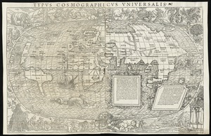
Typus cosmographicus uniuersalis
11.
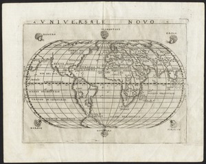
Universale novo
12.
Universalis de terrao orarium ex vera recen [...] traditione
13.
Carta universal en que se contiene todo lo que del mundo se ha descubierto fasta agora
14.
Chart of the track of the Dolphin, Tamar, Swallow & Endeavour through the South Seas ; & of the track of M. Bougainville round...
15.
Chart of the world according to Mercators projection, shewing the tracks & discoveries of Captn. Cook
16.
A chart of the world upon Mercator's projection : describing the tracks of Capt. Cook in the year 1768, 69, 70, 71, and in...
17.
Circular world map
18.
Diversi globi terr-aquei statione variante et visu intercedente, per coluros tropicorum, per ambos polos et particul : sphaerae...
19.
Die gantze Welt in ein Kleberblat, welches in der Stadt Hannover, meines lieben Vaterlandes Wapen
20.
Geographica restituta per globi trientes
« Previous
Next »
1
2
3
4
5
…
7
8
Limit your search
Subject
World maps--Early works to 1800
76
New England--Maps--Early works to 1800
15
America--Maps--Early works to 1800
11
Massachusetts--Maps
8
North America--Maps--Early works to 1800
8
Western Hemisphere--Maps--Early works to 1800
8
Connecticut--Maps--Early works to 1800
5
Cook, James, 1728-1779
5
more
Subject
»
Place
World
64
North and Central America
46
New England
20
United States
17
Massachusetts
16
Rhode Island
8
New York
7
Connecticut
6
more
Place
»
Format
Maps/Atlases
151
Manuscripts
2
Books
1
Available to use
No known restrictions
45
Creative Commons license
19
Date
View distribution
Current results range from
1482
to
1990
Date range begin
Date range end
View larger »
Collection
Sidney R. Knafel Map Collection at Phillips Academy
87
Norman B. Leventhal Map Center Collection
64
American Revolutionary War-Era Maps (Collection of Distinction)
29
Mapping Boston Collection
19
Institution
Phillips Academy
87
Boston Public Library
45
Private Collection
19


![Tipus orbis uniuersalis iuxta Ptolomei cosmographi traditionem et Americi Vespucii alior[um]que](https://bpldcassets.blob.core.windows.net/derivatives/images/commonwealth:j3860806q/image_thumbnail_300.jpg)
![Universalis de terrao orarium ex vera recen [...] traditione](https://bpldcassets.blob.core.windows.net/derivatives/images/commonwealth:hq37vv39x/image_thumbnail_300.jpg)


