Skip to search
Skip to main content
Skip to first result
Digital Commonwealth
Folders
Sign Up / Log In
Search for
Search
Search
Search
Basic
Advanced
Explore
Map
Collections
Institutions
Formats
For Educators
Primary Source Sets
Lesson Plans
Using Primary Sources
Searching Digital Commonwealth
For Institutions
Join Digital Commonwealth
Conferences, Trainings, & Events
How to Contribute Collections
Digitization Services
Board & Committees
Frequently Asked Questions
About
About Digital Commonwealth
News & Announcements
Copyright & Terms of Use
Harmful Content Statement
Partners
API
Contact Us
Search
Search Constraints
Start Over
Save Search
Your search:
More Like
commonwealth:h128nq57n
✖
Remove constraint More Like: commonwealth:h128nq57n
« Prev.
|
151
-
200
of
5,034
|
Next »
Sort
by relevance
relevance
title
date (asc)
date (desc)
Number of results to display per page
50
per page
per page
10
per page
20
per page
50
per page
100
per page
View results as:
List
list view
Maps
map view
Gallery
grid view
Search Results
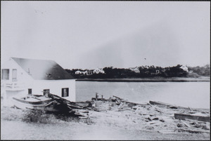
151.
1944 Hurricane, Bass River
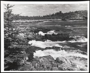
152.
Acadia National Park, ME. Near Anemone Cave
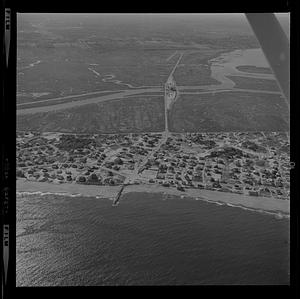
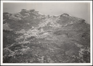
153.
Aerial of Plum Island center erosion
154.
Aerial of Plum Island center erosion or Gloucester harbor
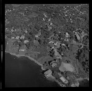
155.
Aerial of Plum Island center erosion or Gloucester harbor
156.
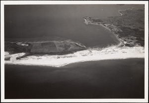
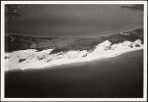
Aerial of Plum Island Point and Ring’s Island river mouth erosion
157.
Aerial of Plum Island Point and Ring’s Island river mouth erosion
158.
Aerial of Plum Island Point and Ring’s Island river mouth erosion
159.
Aerial of Plum Island Point and Ring’s Island river mouth erosion
160.
Aerial of Plum Island Point and Ring’s Island river mouth erosion
161.
Aerial of Plum Island Point and Ring’s Island river mouth erosion
162.
Aerial of Plum Island Point and Ring’s Island river mouth erosion
163.
Aerial of Plum Island Point and Ring’s Island river mouth erosion
164.
Aerial of Plum Island Point and Ring’s Island river mouth erosion
165.
Aerial of Plum Island Point and Ring’s Island river mouth erosion
166.
Aerial of Plum Island Point and Ring’s Island river mouth erosion
167.
Aerial of Plum Island Point and Ring’s Island river mouth erosion
168.
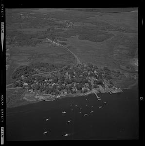
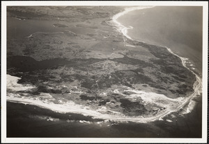
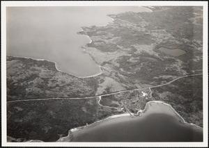
Aerial view of Squibnocket Pond
169.
Aerial view of Squibnocket Pond
170.
Aerial view of Squibnocket Pond
171.
Aerial view of Squibnocket Pond
172.
Aerial view of Squibnocket Pond
173.
Aerial view of Squibnocket Pond
174.
Aerial view of Squibnocket Pond
175.
Aerial view of Squibnocket Pond
176.
Along Bass River, South Yarmouth, Mass.
177.
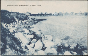
Along the shore, Hyannis Park, Hyannis, Mass.
178.
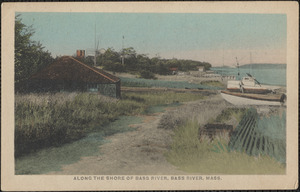
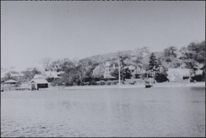
Along the shore of Bass River
179.
Back Cove - Maine
180.
Back Cove - Maine
181.
Back Cove - Maine
182.
Back Cove - Maine
183.
Back Cove - Maine
184.
Back Cove, New Harbor, ME
185.
Bass River
186.
Bass River Bridge
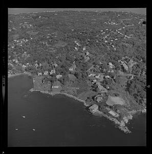
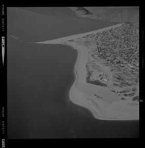
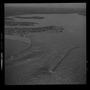
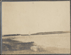
187.
Bass River Bridge
188.
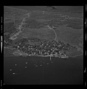
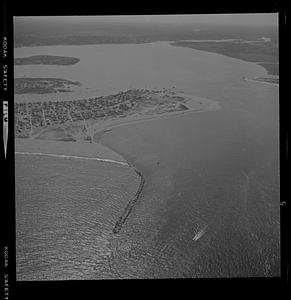
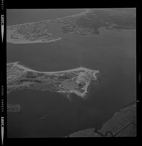
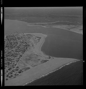
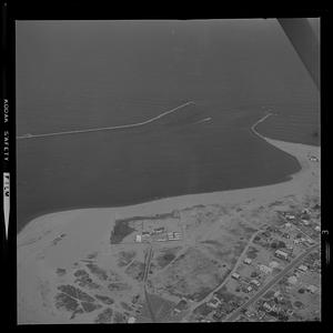
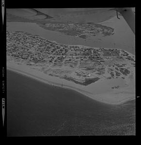
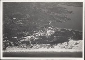
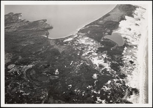
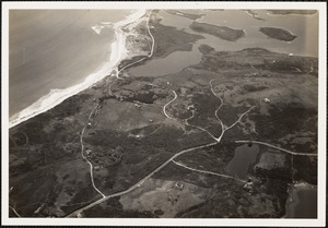
Bass River bridge connecting West Dennis and South Yarmouth, Mass.
189.
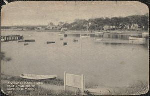
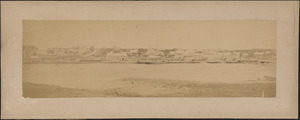
Bass River shoreline with House of Seven Chimneys and Judah Baker Mill, South...
190.
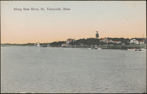
Bass River, South Yarmouth, Mass.
191.
Bass River, South Yarmouth, Mass.
192.
Bass River, South Yarmouth, Mass.
193.
Bass River, South Yarmouth, Mass. showing first Bass River bridge
194.
Bass River waterfront
195.
Bass River with Judah Baker Mill on left center of horizon
196.
The bather
197.
The bather
198.
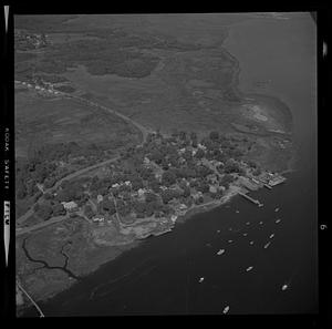
Beetle Cat boats on Lewis Bay
199.
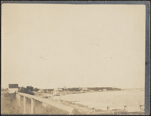
Blackwell's residence and summer cottage on Bass River, South Yarmouth, Mass.
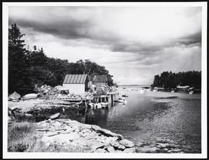
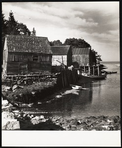
200.
Bluffs and beach at Highland Light
« Previous
Next »
1
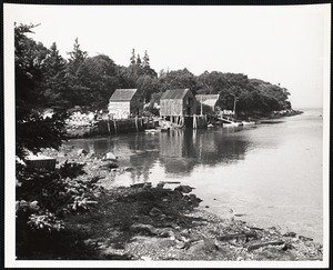
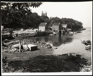
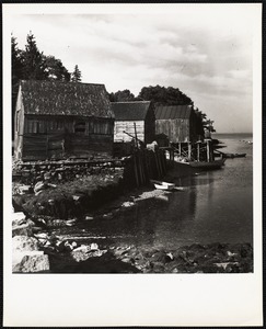
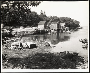
2
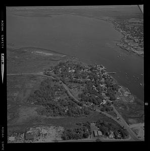
3
4
5
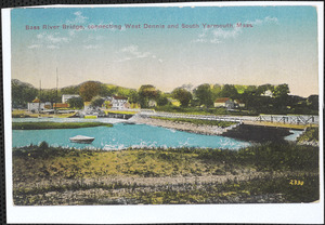
6
7
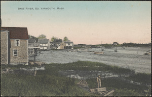
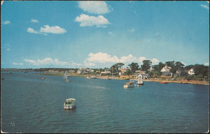
8
…
100
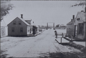
101
Limit your search
Subject
Bodies of water
4,002
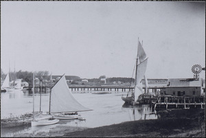
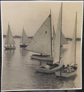
Boats
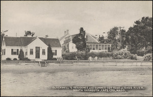
1,258
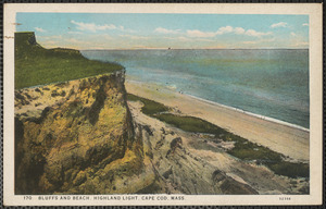
Coastlines
892
Piers & wharves
477
Houses
415
Rivers
403
Trees
374
Beaches
361
more
Subject
»
Place
North and Central America
4,155
United States
4,075
Massachusetts
3,625
Essex (county)
2,161
Newburyport
1,210
Barnstable (county)
663
Yarmouth
378
South Yarmouth
338
more
Place
»
Format
Photographs
3,919
Postcards/Cards
499
Prints
495
Ephemera
60
Maps/Atlases
37
Drawings/Illustrations
18
Paintings
13
Posters
13
more
Format
»
Available to use
Creative Commons license
1,233
No known restrictions
1,104
Date
View distribution
Current results range from
1719
to
2014
Date range begin
Date range end
View larger »
Unknown
1
Collection
Bill Lane Photograph Collection
1,971
Historical Society of Old Yarmouth Archives and Local History Collection
550
Somerville Public Library Local History Collection
322
American Artists
252
Arthur Griffin Photographs
237
Samuel Chamberlain Photograph Negatives Collection, 1928-1971, undated
213
Frank W. Benson (1862-1951). Prints and Drawings
188
Tichnor Brothers Postcard Collection
173
more
Collection
»
Institution
Newburyport Public Library
1,971
Boston Public Library
1,107
Historical Society of Old Yarmouth
615
Somerville Public Library
322
Phillips Library at the Peabody Essex Museum
262
Griffin Museum of Photography
237
Spinner Publications
165
Martha's Vineyard Museum
103
more
Institution
»