Skip to search
Skip to main content
Skip to first result
Digital Commonwealth
Folders
Sign Up / Log In
Search for
Search
Search
Search
Basic
Advanced
Explore
Map
Collections
Institutions
Formats
For Educators
Primary Source Sets
Lesson Plans
Using Primary Sources
Searching Digital Commonwealth
For Institutions
Join Digital Commonwealth
Conferences, Trainings, & Events
How to Contribute Collections
Digitization Services
Board & Committees
Frequently Asked Questions
About
About Digital Commonwealth
News & Announcements
Copyright & Terms of Use
Harmful Content Statement
Partners
API
Contact Us
Search
Search Constraints
Start Over
Save Search
Your search:
More Like
commonwealth:gm80hz946
✖
Remove constraint More Like: commonwealth:gm80hz946
« Prev. |
1
-
20
of
5,379
|
Next »
Sort
by date (desc)
relevance
title
date (asc)
date (desc)
Number of results to display per page
20
per page
per page
10
per page
20
per page
50
per page
100
per page
View results as:
List
list view
Maps
map view
Gallery
grid view
Search Results
1.
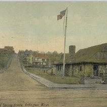
Postcard
2.
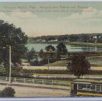
Postcard
3.
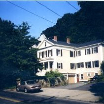
Print, Photographic
4.
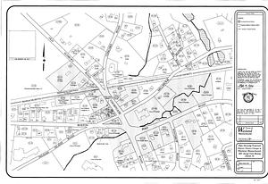
Plans showing proposed Historic District changes in Wayland Massachusetts : 2001 Annual Town Meeting Article 34
5.
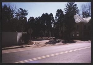
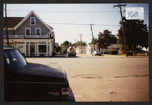
Kinsman Lane in 1999 between Hamilton Post Office and 595 Bay Rd.
6.
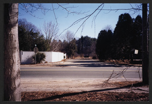
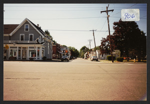
Kinsman Lane in 1999 between post office and 595 Bay Rd.
7.
Kinsman Lane in 1999 between post office and 595 Bay Rd.
8.
Humanics in Action Day Swinging (September 10, 1998)
9.
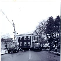
#48 Broadway being moved
10.
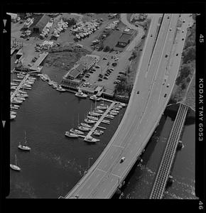
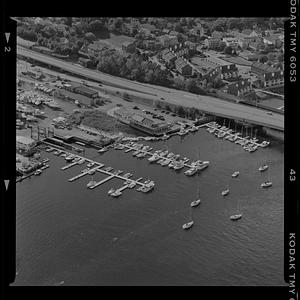
Newburyport marinas
11.
Newburyport marinas
12.
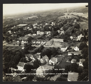
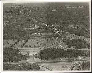
Aerial view of Hopkinton
13.
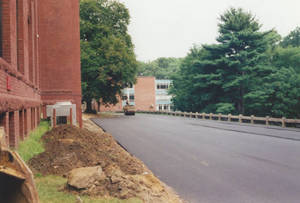
Paving the way by the Administration Building, ca. 1996
14.
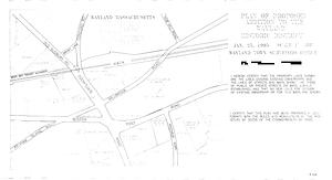
Plan of proposed addition to the Wayland Historic District, January 25, 1995
15.
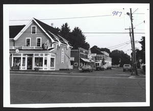
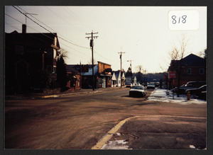
Connolly's Drug Store, Bay Rd and R.R. Ave.
16.
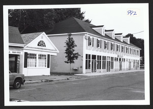
New building at site of old Smith Block
17.
Connolly's Drug Store, 1993
18.
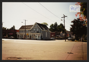
Depot Square, Railroad Ave., 1993
19.
Railroad Avenue from Bay Road, 1993
20.
Corner of Willow and Railroad Ave looking toward Depot Sq.
« Previous
Next »
1
2
3
4
5
…
268
269
Limit your search
Subject
Roads
3,537
Cities and towns
1,680
Land use mapping
1,680
Soil mapping
1,680
United States. Work Projects Administration
1,680
United States. Works Progress Administration
1,680
Laborers
457
Trees
403
more
Subject
»
Place
North and Central America
4,649
United States
4,615
Massachusetts
4,026
Dukes (county)
1,171
Martha's Vineyard
1,171
Essex (county)
502
Middlesex (county)
408
Worcester (county)
358
more
Place
»
Format
Photographs
2,774
Maps/Atlases
1,693
Postcards/Cards
712
Prints
152
Manuscripts
35
Film/Video
29
Albums/Scrapbooks
20
Ephemera
18
more
Format
»
Available to use
No known restrictions
2,708
Creative Commons license
357
Date
View distribution
Current results range from
1683
to
2011
Date range begin
Date range end
View larger »
Unknown
71
Collection
Land study maps, 1936-1937
1,680
Basil Welch Collection
1,169
Tichnor Brothers Postcard Collection
576
Leslie Jones Collection
251
Bill Lane Photograph Collection
235
Arthur Griffin Photographs
140
Arlington Historical Society Collection
87
Leon Abdalian Collection
70
more
Collection
»
Institution
Massachusetts Archives
1,680
Boston Public Library
1,380
Martha's Vineyard Museum
1,169
Newburyport Public Library
235
Griffin Museum of Photography
140
Arlington Historical Society
112
Williams College
48
Phillips Library at the Peabody Essex Museum
47
more
Institution
»