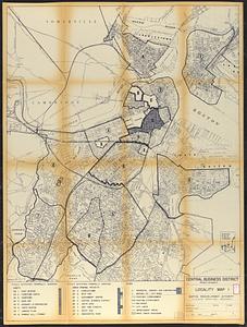
Skip to search
Skip to main content
Skip to first result
Digital Commonwealth
Folders
Sign Up / Log In
Search for
Search
Search
Search
Basic
Advanced
Explore
Map
Collections
Institutions
Formats
For Educators
Primary Source Sets
Lesson Plans
Using Primary Sources
Searching Digital Commonwealth
For Institutions
Join Digital Commonwealth
Conferences, Trainings, & Events
How to Contribute Collections
Digitization Services
Board & Committees
Frequently Asked Questions
About
About Digital Commonwealth
News & Announcements
Copyright & Terms of Use
Harmful Content Statement
Partners
API
Contact Us
Search
Search Constraints
Start Over
Save Search
Your search:
More Like
commonwealth:g445fx66s
✖
Remove constraint More Like: commonwealth:g445fx66s
« Prev.
|
101
-
200
of
64,432
|
Next »
Sort
by relevance
relevance
title
date (asc)
date (desc)
Number of results to display per page
100
per page
per page
10
per page
20
per page
50
per page
100
per page
View results as:
List
list view
Maps
map view
Gallery
grid view
Search Results
101.
Roxbury-N. Dorchester G.N.R.P. r-50 : existing building conditions
102.
Roxbury-N. Dorchester G.N.R.P. r-50 : existing population density
103.
Washington Park urban renewal area : building deficiencies
104.
Washington Park urban renewal area : building deficiencies
105.
Washington Park urban renewal area : building conditions
106.
Washington Park urban renewal area : treatment sections
107.
Washington Park urban renewal area : proposed treatment sections
108.
Washington Park urban renewal area r-24 : proposed treatment section boundaries
109.
Washington Park urban renewal area r-24 : zone district changes plan
110.
Washington Park urban renewal area r-24 : property map
111.
Washington Park urban renewal area r-24 : buildings with deficiencies
112.
Washington Park urban renewal area r-24 : building condition
113.
Washington Park urban renewal area r-24 : proposed zoning plan
114.
Washington Park urban renewal area r-24 : existing zoning
115.
Illustrative site plan : Government Center urban renewal area, Massachusetts R-35
116.
Washington Street boulevard study : generalized land use - proposed
117.
Campus High School urban renewal area Mass. r-129 : property map
118.
The Harbor Park system
119.
Inner belt, Southwest Expressway
120.
Report on the alternate master highway plan for the Boston metropolitan area
121.
South End renewal area : locality map
122.
Downtown waterfront-Faneuil Hall urban renewal area Massachusetts R-77 : street adjustments
123.
Park Plaza traffic improvements & grade level controls
124.
Park Plaza urban renewal area : environmental deficiencies and blighting influences map
125.
Shawmut Avenue
126.
South End urban renewal area R-56 : proposed rights-of-way
127.
South End urban renewal area R-56 : proposed rights-of-way
128.
South End urban renewal area R-56 : proposed rights-of-way
129.
Blue Hill Avenue commercial strip
130.
Back Bay zoning district map
131.
Charlestown urban renewal area Massachusetts R-55 : illustrative site plan
132.
Charlestown urban renewal area, Massachusetts R-55 : illustrative site plan
133.
Cultural facilities conceptual plan
134.
Disposition parcel plan, central area
135.
Disposition parcels, Charlestown urban renewal area, Massachusetts R-55
136.
Downtown waterfront-Faneuil Hall project urban renewal area Massachusetts R-77 : illustrative site plan
137.
Downtown waterfront-Faneuil Hall project urban renewal area Massachusetts R-77 : illustrative site plan
138.
Downtown waterfront-Faneuil Hall project urban renewal area Massachusetts R-77 : existing and proposed zoning
139.
Downtown waterfront-Faneuil Hall project urban renewal area Massachusetts R-77 : existing and proposed zoning
140.
Downtown waterfront-Faneuil Hall urban area Massachusetts R-77 : existing and proposed zoning
141.
Downtown waterfront-Faneuil Hall urban area Massachusetts R-77 : proposed land use
142.
Downtown waterfront-Faneuil Hall urban renewal area Massachusetts R-77 : proposed land use
143.
Downtown waterfront-Faneuil Hall urban renewal area Massachusetts R-77 : proposed land use
144.
Downtown waterfront-Faneuil Hall urban renewal area Massachusetts R-77 : proposed land use
145.
Fenway urban renewal area Massachusetts : existing land use
146.
Fenway urban renewal area Massachusetts : proposed land use
147.
Fenway urban renewal area Massachusetts : disposition parcels
148.
Fenway urban renewal area, Massachusetts R-115 : illustrative site plan
149.
Land use New York streets - South Cove 1953
150.
Metropolitan District Commission combined sewer overflow project Dorchester Bay area
151.
Midtown area plan for the public realm
152.
Plan for Boston
153.
South Cove proposed land use
154.
South End urban renewal area R-56 : proposed land use
155.
South End urban renewal area R-56 : proposed land use
156.
South End urban renewal area R-56 : proposed land use
157.
South End urban renewal area R-56 : existing land use
158.
Waterfront project, Pierhead Line, Boston, Mass.
159.
Back Bay urban renewal area r-47 : land use plan
160.
Back Bay urban renewal area r-47 : building conditions
161.
Back Bay urban renewal area r-47 : building conditions
162.
Back Bay urban renewal area r-47 : building conditions
163.
Back Bay urban renewal area r-47 : existing population density
164.
Back Bay urban renewal area r-47 : proposed treatment and title 1 projects
165.
Back Bay urban renewal area r-47 : existing and proposed community facilities
166.
Central business district project no Mass r- : existing building condition
167.
Central business district project no Mass r- : locality map 1
168.
Central business district urban renewal area Massachusetts r-82 : pedestrian circulation
169.
Central business district urban renewal area Massachusetts r-82 : vehicular circulation
170.
Central business district urban renewal area Massachusetts r-82 : disposition parcels
171.
Central business district urban renewal area Massachusetts r-82 : acquisition plan
172.
Central business district urban renewal area Massachusetts r-82 : zoning plan
173.
Central business district urban renewal area Massachusetts r-82 : illustrative site plan
174.
Central business district urban renewal area Massachusetts r-82 : zoning
175.
Central business district urban renewal area Massachusetts r-82 : property map
176.
Central business district urban renewal area Massachusetts r-82 A,B,C : zoning
177.
Central business district urban renewal area r-82 : building deficiencies
178.
Charlestown project no. Mass r-42 (GN) : generalized building conditions
179.
Charlestown project no. Mass r-42 (GN) : proposed treatment areas and project boundaries
180.
Charlestown project no. Mass r-42 (GN) : population distribution
181.
Charlestown project no. Mass r-42 (GN) : existing building coverage
182.
Charlestown project no. Mass r-42 (GN) : existing zoning
183.
Charlestown renewal area : existing conditions & proposed treatment areas
184.
Charlestown renewal area : location map
185.
Charlestown renewal area : blighted areas
186.
Charlestown urban renewal area r-42 : GNRP map no. 1
187.
Charlestown urban renewal area r-55 : treatment areas
188.
Charlestown urban renewal area r-55 : property map and perimeter boundaries
189.
Charlestown urban renewal area r-55 : building deficiencies
190.
Charlestown urban renewal area r-55 : building deficiencies
191.
Charlestown urban renewal area r-55 : existing zoning
192.
Charlestown urban renewal area r-55 : proposed zoning
193.
Conceptual plan
194.
Conceptual plan
195.
Development of the Calfpasture, Boston, Massachusetts
196.
Downtown and neighborhood cultural facilities
197.
Downtown existing buildings conditions
198.
Downtown project no. Mass. r-46 : existing and proposed community facilities
199.
Downtown project no. Mass. r-46 : proposed circulation and boundary adjustments
200.
Downtown Waterfront Faneuil Hall renewal area : locality map 1
« Previous
Next »
1
2
3
4
5
6
…
644
645
Limit your search
Subject
City planning--Massachusetts--Boston--Maps
417
Roxbury (Boston, Mass.)--Maps
396
Real property--Massachusetts--Boston--Maps
369
Boston (Mass.)--Maps
333
Landowners--Massachusetts--Boston--Maps
300
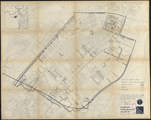
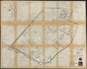
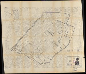
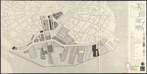
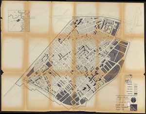
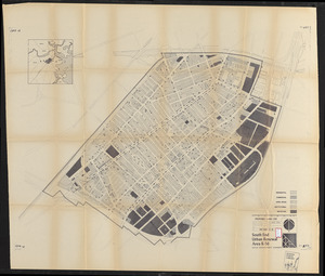
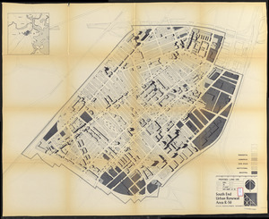
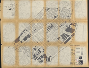
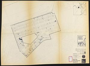
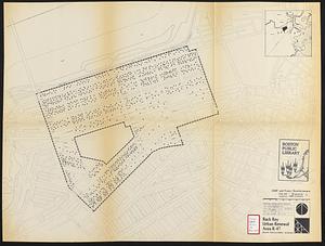
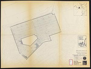
Urban renewal--Massachusetts--Boston--Maps
253
Land use--Massachusetts--Boston--Maps
100
Buildings--Massachusetts--Boston--Maps
85
more
Subject
»
Place
North and Central America
62,953
United States
62,947
Massachusetts
62,315
Suffolk (county)
45,041
Boston
45,040
Worcester (county)
12,913
Worcester
12,825
Dorchester
6,481
more
Place
»
Format
Newspapers
63,390
Maps/Atlases
827
Books
111
Objects/Artifacts
86
Paintings
17
Drawings/Illustrations
3
Manuscripts
1
Prints
1
Available to use
No known restrictions
64,420
Creative Commons license
1
Date
View distribution
Current results range from
1770
to
2017
Date range begin
Date range end
View larger »
Unknown
9
Collection
Newspapers from the Boston Public Library
63,390
Boston Evening Transcript
12,176
Worcester Daily Spy
7,740
Daily Evening Transcript
7,037
Springfield Weekly Republican
4,712
Roxbury Gazette and South End Advertiser
3,447
South Boston Gazette
2,944
The Dorchester Beacon
2,865
more
Collection
»
Institution
Boston Public Library
64,424
State Library of Massachusetts
6
Private Collection
1
Salem State University Archives and Special Collections
1