Search
Limit your search
- North and Central America8,120
- United States8,101
- Massachusetts7,818
- Barnstable (county)4,083
- Yarmouth2,711
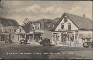
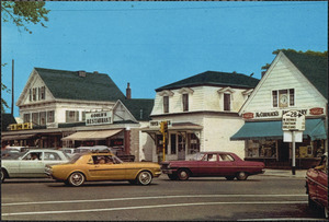
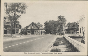
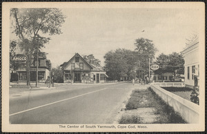
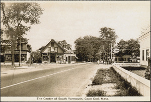
- South Yarmouth1,378
- Yarmouth Port1,145
- Norfolk (county)1,034
- Historical Society of Old Yarmouth Archives and Local History Collection4,412
- American Archive of Public Broadcasting Collection1,699
- Needham Historical House Collection946
- Bill Lane Photograph Collection536
- Leslie Jones Collection377
- Press Photography from the Brearley Collection280
- Arthur Griffin Photographs184
- The Photography of E. Milton Silvia142