Skip to search
Skip to main content
Skip to first result
Digital Commonwealth
Folders
Sign Up / Log In
Search for
Search
Search
Search
Basic
Advanced
Explore
Map
Collections
Institutions
Formats
For Educators
Primary Source Sets
Lesson Plans
Using Primary Sources
Searching Digital Commonwealth
For Institutions
Join Digital Commonwealth
Conferences, Trainings, & Events
How to Contribute Collections
Digitization Services
Board & Committees
Frequently Asked Questions
About
About Digital Commonwealth
News & Announcements
Copyright & Terms of Use
Harmful Content Statement
Partners
API
Contact Us
Search
Search Constraints
Start Over
Save Search
Your search:
More Like
commonwealth:dz010z831
✖
Remove constraint More Like: commonwealth:dz010z831
« Prev.
|
81
-
100
of
439
|
Next »
Sort
by relevance
relevance
title
date (asc)
date (desc)
Number of results to display per page
20
per page
per page
10
per page
20
per page
50
per page
100
per page
View results as:
List
list view
Maps
map view
Gallery
grid view
Search Results
81.
Properties near Goodrich Street
82.
Properties near Goodrich Street and an intersection with a brook
83.
Properties near Goodrich Street, Kilburn Street and Lancaster Avenue
84.
Properties near Hemlock Drive and Pine Acres Road, along the southwestern shoreline of Hickory Hills Lake
85.
Properties near Hemlock Drive and Pine Acres Road, along the southwestern shoreline of Hickory Hills Lake
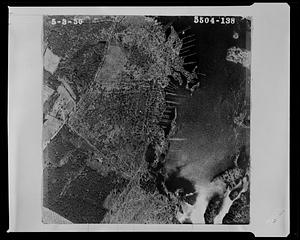
86.
Properties near Holman Street
87.
Properties near Howard Street
88.
Properties near Howard Street
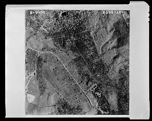
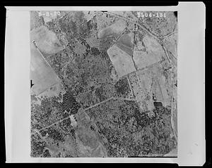
89.
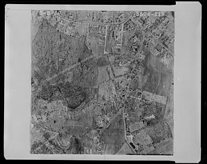
Properties near Howard Street
90.
Properties near Howard Street
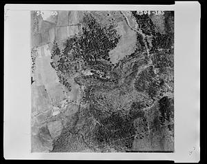
91.
Properties near Howard Street and New West Townsend Road
92.
Properties near Island Road
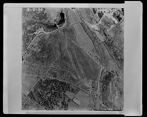
93.
Properties near Lancaster Avenue
94.
Properties near Lancaster Avenue
95.
Properties near Lancaster Avenue
96.
Properties near Lancaster Avenue and Reservoir Road
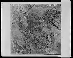
97.
Properties near Leominster Road, between Massachusetts Avenue and West Street
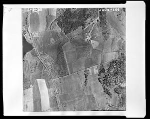
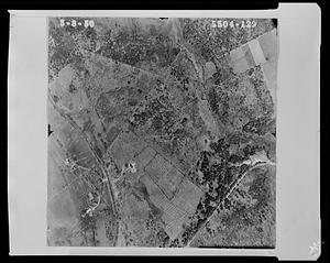
98.
Properties near Leominster Road, Kilburn Street and Goodrich Street
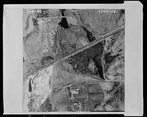
99.
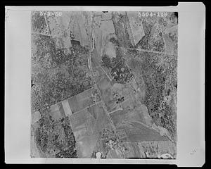
Properties near Leominster Road, MacMillan, Kilburn Street
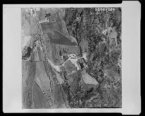
100.
Properties near Leominster Shirley Road and the intersections with Reservoir Road and Round Road
« Previous
Next »
1
2
3
4
5
6
7
8
9
…
21
22
Limit your search
Subject
Land subdivision
212
Streets
76
Lakes & ponds
36
Taxes
11
Sewers
7
Beaches
6
Land use
6
Parks
6
more
Subject
»
Place
North and Central America
426
United States
422
Massachusetts
421
Essex (county)
229
Rockport
186
Lunenburg
151
Worcester (county)
151
Norfolk (county)
37
more
Place
»
Format
Maps/Atlases
223
Photographs
189
Manuscripts
116
Documents
17
Drawings/Illustrations
7
Prints
5
Letters/Correspondence
2
Available to use
No known restrictions
380
Creative Commons license
49
Date
View distribution
Current results range from
1778
to
2005
Date range begin
Date range end
View larger »
Collection
Rockport Town Clerk, Street, Roads and Maps
227
1950 Aerial Mapping of Lunenburg, Ma.
151
Parker Collection
34
Watertown Miscellaneous
14
Plans & Drawings, c.1847-1979 (Bulk 1882-1970)
5
Peak House Institutional Records Collection
3
Digital Amherst Collection
2
Stereograph Collection
2
more
Collection
»
Institution
Town of Rockport
227
Lunenburg Massachusetts Historical Society
151
Thomas Crane Public Library
34
Watertown Free Public Library
15
Frederick Law Olmsted National Historic Site
5
Peak House Heritage Center
3
Boston Public Library
2
Jones Library, Amherst
2