Skip to search
Skip to main content
Skip to first result
Digital Commonwealth
Folders
Sign Up / Log In
Search for
Search
Search
Search
Basic
Advanced
Explore
Map
Collections
Institutions
Formats
For Educators
Primary Source Sets
Lesson Plans
Using Primary Sources
Searching Digital Commonwealth
For Institutions
Join Digital Commonwealth
Conferences, Trainings, & Events
How to Contribute Collections
Digitization Services
Board & Committees
Frequently Asked Questions
About
About Digital Commonwealth
News & Announcements
Copyright & Terms of Use
Harmful Content Statement
Partners
API
Contact Us
Search
Search Constraints
Start Over
Save Search
Your search:
More Like
commonwealth:dz010x818
✖
Remove constraint More Like: commonwealth:dz010x818
« Prev.
|
981
-
1,000
of
1,019
|
Next »
Sort
by date (asc)
relevance
title
date (asc)
date (desc)
Number of results to display per page
20
per page
per page
10
per page
20
per page
50
per page
100
per page
View results as:
List
list view
Maps
map view
Gallery
grid view
Search Results
981.
Site plan, Rockport Jr. Sr. High School
982.
Rockport, Thatcher Rd, Drainage Details
983.
Thatcher Rd., Rockport
984.
Subdivision plan & profile Bill McNulty Lane
985.
Planting plan - high school
986.
Rockport, Thatcher Road
987.
Plan of sewer betterment, Allen, Norwood, Ocean Ave., Rockport, Mass.
988.
Plan of land on Pool Hill, Rockport, Mass. : Compiled from town records
989.
Area blackout, Fairhaven, MA
990.
Savinen property, Rockport, Mass.
991.
Topographical survey, proposed dump location, Rockport, Mass.
992.
Plan of land owned by Caroline K. Delamater located in Rockport, Mass.
993.
Plan of way, Highland Ave. to Calebs Lane, Rockport, Mass. : As laid out by the Board of Selectmen for acceptance
994.
Planning board zoning map, Town of Rockport
995.
Zoning map of the Town of Rockport
996.
Plan of land in Rockport, Mass.
997.
Plan of land in Rockport, property of John D. McNiff & Andrew A. Dominick Jr.
998.
Plan of land in Rockport, property of Stephen F. & Judith W. Davis
999.
Plan of land in Rockport, Massachusetts, land of low value to be conveyed to Town of Rockport
1000.
Plan of land in Rockport, Mass., owned by Town of Rockport, Mass.
« Previous
Next »
1
2
…
46
47
48
49
50
51
Limit your search
Subject
Sewers
798
Streets
784
Construction
46
Tunnels
16
Bricks
14
Beaches
6
Parks
6
Retaining walls
6
more
Subject
»
Place
North and Central America
991
Massachusetts
990
United States
990
Essex (county)
953
Lawrence
710
Rockport
186
Middlesex (county)
29
Billerica
26
more
Place
»
Format
Maps/Atlases
922
Manuscripts
803
Photographs
79
Drawings/Illustrations
7
Prints
7
Letters/Correspondence
2
Documents
2
Available to use
No known restrictions
964
Creative Commons license
28
Date
View distribution
Current results range from
1756
to
1979
Date range begin
Date range end
View larger »
Collection
Lawrence, Mass. Engineering Department. City Sewers
710
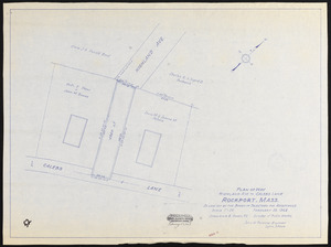
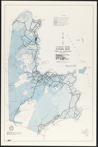
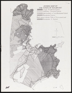
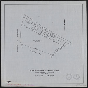
Rockport Town Clerk, Street, Roads and Maps
227
Billerica, Massachusetts: History captured on glass
26
Edgar Sutton Dorr Photograph Collection
24
Bill Lane Photograph Collection
16
Leslie Jones Collection
4
Arlington Historical Society Collection
2
Waban Historical Collection
2
more
Collection
»
Institution
Lawrence Public Library
711
Town of Rockport
227
Boston Public Library
30
Billerica Public Library
26
Newburyport Public Library
16
Newton Free Library
3
Arlington Historical Society
2
Holyoke Public Library
1
more
Institution
»