Skip to search
Skip to main content
Skip to first result
Digital Commonwealth
Folders
Sign Up / Log In
Search for
Search
Search
Search
Basic
Advanced
Explore
Map
Collections
Institutions
Formats
For Educators
Primary Source Sets
Lesson Plans
Using Primary Sources
Searching Digital Commonwealth
For Institutions
Join Digital Commonwealth
Conferences, Trainings, & Events
How to Contribute Collections
Digitization Services
Board & Committees
Frequently Asked Questions
About
About Digital Commonwealth
News & Announcements
Copyright & Terms of Use
Harmful Content Statement
Partners
API
Contact Us
Search
Search Constraints
Start Over
Save Search
Your search:
More Like
commonwealth:d504rt045
✖
Remove constraint More Like: commonwealth:d504rt045
« Prev.
|
101
-
200
of
26,885
|
Next »
Sort
by relevance
relevance
title
date (asc)
date (desc)
Number of results to display per page
100
per page
per page
10
per page
20
per page
50
per page
100
per page
View results as:
List
list view
Maps
map view
Gallery
grid view
Search Results
101.
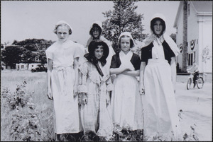
Yarmouth's 300th anniversary celebration
102.
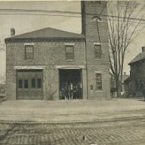
Highland Station
103.
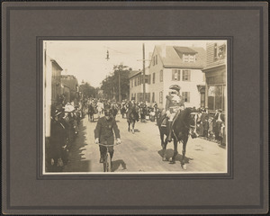
Red Men's Parade
104.
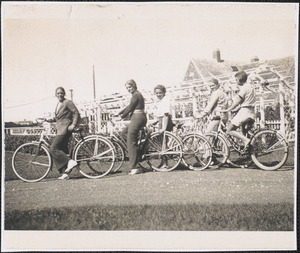
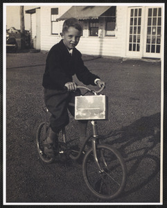
Bicycling in Englewood, West Yarmouth, Mass.
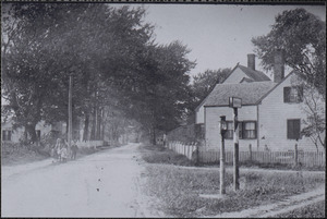
105.
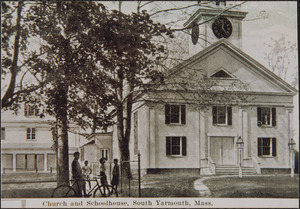
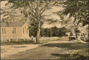
Church and Schoolhouse, South Yarmouth, Mass.
106.
Ireton Bradshaw Jr.
107.
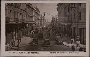
Αθηναι Οδος Σταδιου (Τσωρτσιλ) = Athens Stadium Str. (Churchill)
108.
"Cor. Tremont & Winter St."
109.
View of a street during blackout with pedestrians and cars parked on either side
110.
View of a street during blackout with pedestrians and cars parked on either side
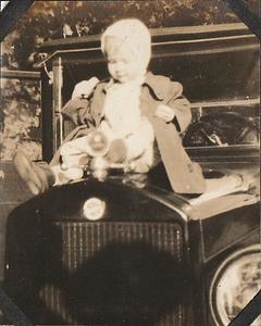
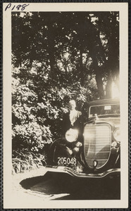
111.
Muriel Robertson on hood of automobile
112.
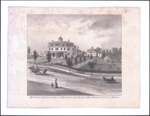
Artist's rendering of 277 Old King's Highway, Yarmouth Port, Mass.
113.
Baptist church
114.
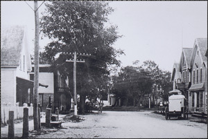
Bridge Street, South Yarmouth, Mass.
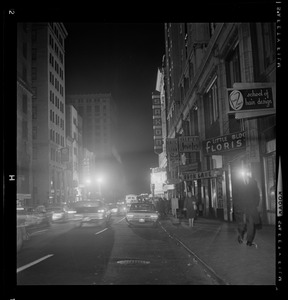
115.
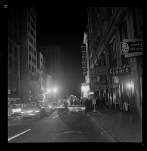
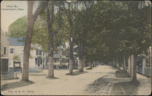
Hallet Street, Yarmouth Port, Mass.
116.
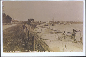
Lower Village, South Yarmouth, Mass. with view of Bass River
117.
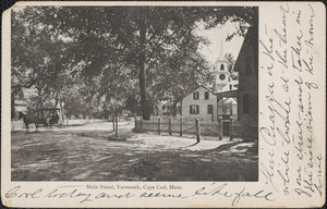
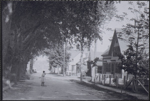
Main Street
118.
Main Street
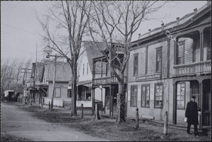
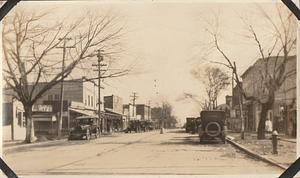
119.
Main Street, South Yarmouth, Mass.
120.
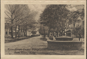
River Street, Lower Village, Bass River, Mass.
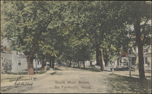
121.
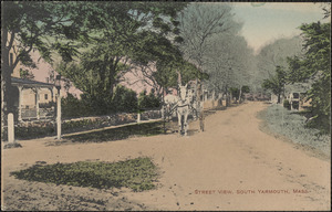
South Main Street, South Yarmouth, Mass.
122.
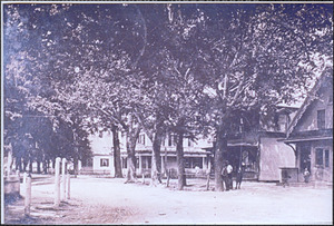
Street scene, South Yarmouth, Mass.
123.
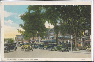
Main Street, Hyannis, Mass
124.
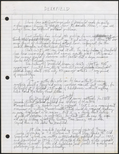
Deerfield, Massachusetts
125.
Granville, Massachusetts
126.
Hadley, Massachusetts
127.
Holyoke, Massachusetts
128.
Springfield, Massachusetts, and other parts of New England during the flood of 1936 and the hurricane of 1938
129.
Potomac Avenue, Quantico, VA
130.
Bridge Street
131.
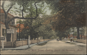
Main Street, looking north, South Yarmouth, Mass.
132.
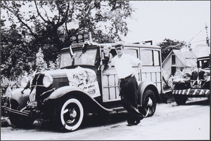
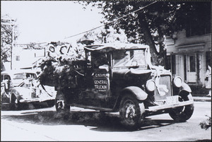
Main Street, looking south, South Yarmouth, Mass.
133.
Station Avenue and North Main Street
134.
15 Winter Street, Yarmouth Port, Mass.
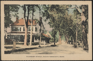
135.
189 Center Street, Yarmouth Port, Mass.
136.
189 Center Street, Yarmouth Port, Mass.
137.
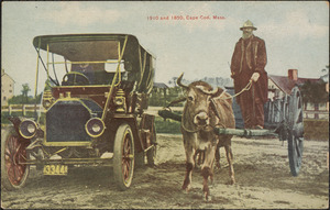
1910 and 1850, Cape Cod, Mass.
138.
231 Old King's Highway, Yarmouth Port, Massachusetts (Yarmouth Port Post Office)
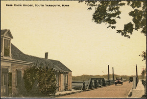
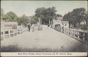
139.
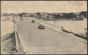
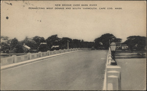
277 Old King's Highway, Yarmouth Port, Mass.
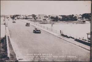
140.
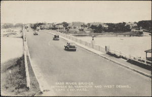
300th Anniversary of Yarmouth celebration
141.
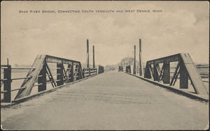
300th Anniversary of Yarmouth celebration
142.
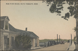
300th Anniversary of Yarmouth celebration
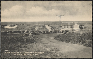
143.
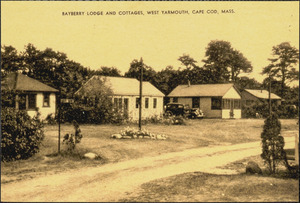
300th Anniversary of Yarmouth celebration
144.
300th Anniversary of Yarmouth celebration parade
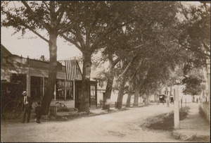
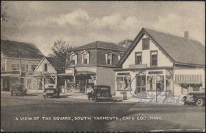
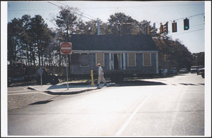
145.
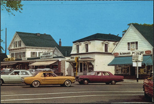
300th Anniversary of Yarmouth celebration parade
146.
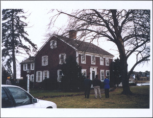
300th Anniversary of Yarmouth celebration parade
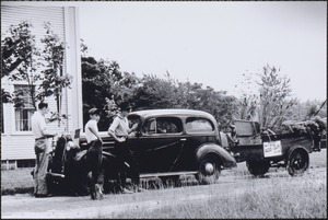
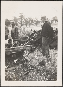
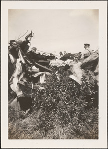
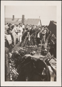
147.
300th Anniversary of Yarmouth celebration parade
148.
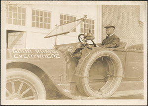
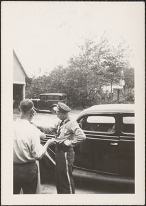
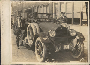
300th Anniversary of Yarmouth, Mass., gathering by town hall
149.
33 Pleasant St., South Yarmouth, Mass.
150.
33 Pleasant Street, South Yarmouth, Mass.
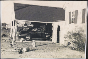
151.
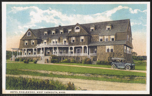
330 Old King's Highway, Yarmouth Port, Mass.
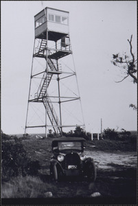
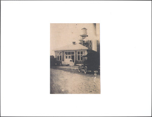
152.
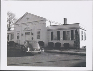
441 Old King's Highway, Yarmouth Port, Mass.
153.
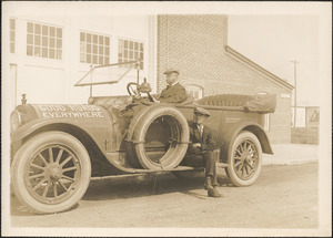
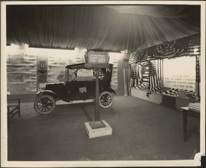
Aberdeen Hall, Great Island, A.W. Mac Dougall
154.
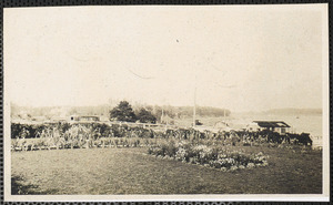
Aberdeen Hall, Great Island, West Yarmouth, Mass.
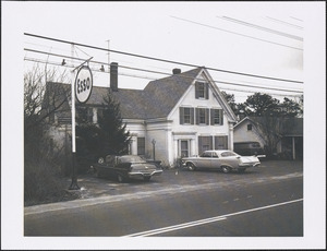
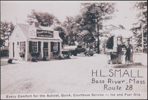
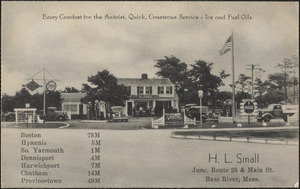
155.
Aerial view of South Yarmouth showing the corner of Homer Avenue and Pleasant Street
156.
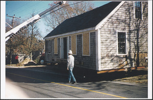
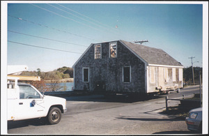
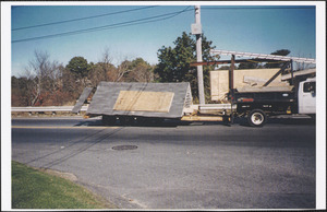
Aerial view of Steve and Sue's Soft Serve, West Yarmouth, Mass.
157.
Bass River Bridge
158.
Bass River Bridge between South Yarmouth and West Dennis, Cape Cod
159.
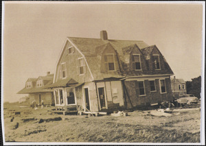
Bass River Bridge between South Yarmouth and West Dennis, Cape Cod, Mass.
160.
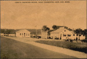
Bass River bridge, between South Yarmouth and West Dennis, Cape Cod, Mass.
161.
Bass River bridge, between South Yarmouth and West Dennis, Cape Cod, Mass.
162.
Bass River bridge, connecting South Yarmouth and West Dennis
163.
Bass River bridge, connecting South Yarmouth and West Dennis
164.
Bass River bridge, Yarmouth, Mass.
165.
Bathhouses at Corporation Beach at end of Howes Lane
166.
Bayberry Lodge and Cottages, West Yarmouth, Mass.
167.
Bitters house
168.
Brad's Soda Shoppe exterior
169.
Business center, Four Corners, South Yarmouth, Mass.
170.
Business corner, South Yarmouth, Mass.
171.
Cape Cod Cooperative Bank, 121 Old King's Highway Yarmouth Port, Mass.
172.
Captain Bangs Hallet House, 11 Strawberry Lane, Yarmouth Point, MA
173.
Car hit by train headed to Boston at Proctor's Crossing, West Barnstable, Mass.
174.
Car hit by train headed to Boston at Proctor's Crossing, West Barnstable, Mass.
175.
Car hit by train headed to Boston at Proctor's Crossing, West Barnstable, Mass.
176.
Charles Henry Davis in automobile
177.
Charles Henry Davis with unidentified man
178.
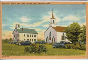
Community church and town building, West Yarmouth, Mass.
179.
Corey House, 46 Uncle Robert's Rd., Great Island, West Yarmouth, Mass.
180.
Corner of Old King's Highway & Willow St., Yarmouthport, Mass.
181.
Cyrus Schirmer house after 1944 hurricane
182.
Englewood Beach Hotel, West Yarmouth, Massachusetts
183.
Fire tower
184.
The First National Bank of Yarmouth, 125 Old King's Highway, Yarmouth Port, Mass.
185.
Fish processing plant Bay State Freezer Co. off Wharf Lane, Yarmouth Port, Mass.
186.
Ford automobile in showroom
187.
Ford automobile in showroom
188.
Garden on Bass River
189.
H. L. Small gas station
190.
H. L. Small, junction of Route 28 and Main St., Bass River, Mass.
191.
Harry Smith, police barracks, South Yarmouth, Mass.
192.
House being moved to 366 Winslow Gray Road, West Yarmouth, Mass.
193.
House being moved to 366 Winslow Gray Road, West Yarmouth, Mass.
194.
House being moved to 366 Winslow Gray Road, West Yarmouth, Mass.
195.
House being moved to 366 Winslow Gray Road, West Yarmouth, Mass.
196.
House on left is 115 Old King's Highway, Yarmouth Port, Mass.
197.
Hudson motor car with Charles Henry Davis and unknown men
198.
Hurricane damage, 1944
199.
Joshua Howes
200.
Libby's Chowder House
« Previous
Next »
1
2
3
4
5
6
…
268
269
Limit your search
Subject
Streets
9,794
Children
6,025
Automobiles
4,405
Houses
3,504
Transportation
2,875
Buildings
1,885
City & town life
1,676
Politics and Government
1,284
more
Subject
»
Place
North and Central America
19,750
United States
19,660
Massachusetts
18,730
Barnstable (county)
4,519
Essex (county)
4,483
Suffolk (county)
4,377
Boston
3,937
Yarmouth
2,734
more
Place
»
Format
Photographs
19,099
Postcards/Cards
3,158
Film/Video
1,730
Manuscripts
1,632
Maps/Atlases
1,535
Prints
808
Drawings/Illustrations
180
Posters
127
more
Format
»
Available to use
Creative Commons license
9,181
No known restrictions
7,202
Date
View distribution
Current results range from
1635
to
2023
Date range begin
Date range end
View larger »
Unknown
900
Collection
Historical Society of Old Yarmouth Archives and Local History Collection
4,412
American Archive of Public Broadcasting Collection
1,738
Bill Lane Photograph Collection
1,383
Leslie Jones Collection
1,195
Needham Historical House Collection
964
Press Photography from the Brearley Collection
935
Arlington Historical Society Collection
724
Lawrence, Mass. Engineering Department. City Sewers
720
more
Collection
»
Institution
Boston Public Library
7,214
Historical Society of Old Yarmouth
4,587
Lawrence Public Library
1,640
Newburyport Public Library
1,383
NewsHour Productions
1,273
Needham Free Public Library
1,141
Phillips Library at the Peabody Essex Museum
964
Arlington Historical Society
925
more
Institution
»