Search
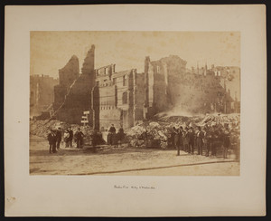
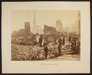
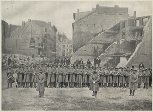
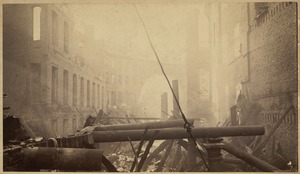
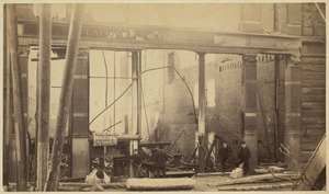
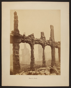
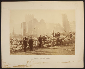
![[Albertypes in The great Boston fire]](https://bpldcassets.blob.core.windows.net/derivatives/metadata/commonwealth-oai:9p290h98m/image_thumbnail_300.jpg)
Limit your search
- North and Central America8,031
- United States6,792
- Suffolk (county)3,551
- Massachusetts3,429
- Boston3,411
- Europe963
- Middlesex (county)617
- Canada427
- Norman B. Leventhal Map Center Collection10,999
- Boston and New England Maps (Collection of Distinction)5,105
- Urban Maps (Collection of Distinction)4,846
- Maritime Charts and Atlases (Collection of Distinction)750
- American Revolutionary War-Era Maps (Collection of Distinction)615
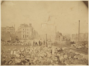
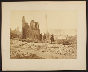
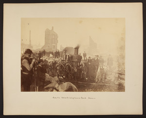
- Boston Pictorial Archive (Collection of Distinction)111
- Boston Redevelopment Authority Collection86
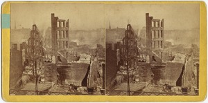
- Stereograph Collection62