Skip to search
Skip to main content
Skip to first result
Digital Commonwealth
Folders
Sign Up / Log In
Search for
Search
Search
Search
Basic
Advanced
Explore
Map
Collections
Institutions
Formats
For Educators
Primary Source Sets
Lesson Plans
Using Primary Sources
Searching Digital Commonwealth
For Institutions
Join Digital Commonwealth
Conferences, Trainings, & Events
How to Contribute Collections
Digitization Services
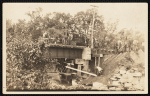
Board & Committees
Frequently Asked Questions
About
About Digital Commonwealth
News & Announcements
Copyright & Terms of Use
Harmful Content Statement
Partners
API
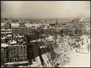
Contact Us
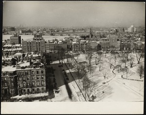
Search
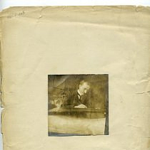
Search Constraints
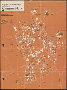
Start Over
Save Search
Your search:
More Like
commonwealth:c247gh304
✖
Remove constraint More Like: commonwealth:c247gh304
« Prev. |
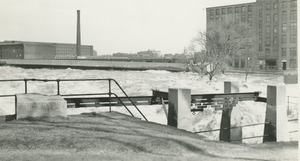
1
-
100
of
48,520
|
Next »
Sort
by relevance
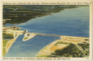
relevance
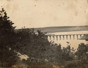
title
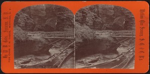
date (asc)
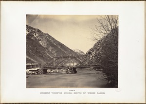
date (desc)
Number of results to display per page
100
per page
per page
10
per page
20
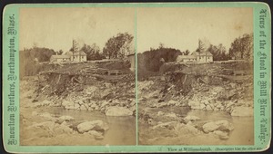
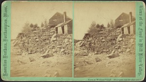
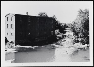
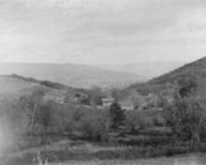
per page
50
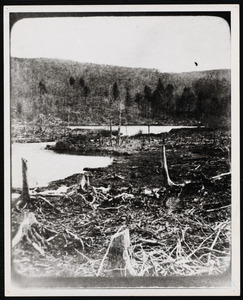
per page
100
per page
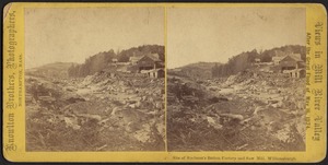
View results as:
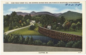
List
list view
Maps
map view
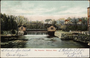
Gallery
grid view
Search Results
1.
Huntington, Massachusetts, Norwich, Massachusetts, and Montgomery, Masachusetts
2.
Chester, Massachusetts
3.
Holyoke, Massachusetts
4.
Russell, Massachusetts, including Woronoco and Woronoco Heights areas
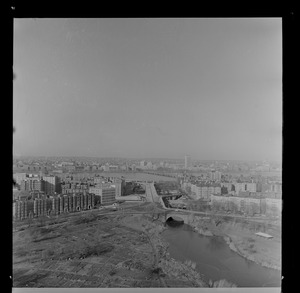
5.
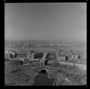
Northampton, Massachusetts
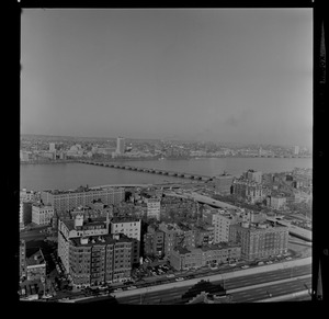
6.
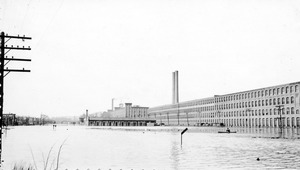
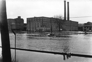
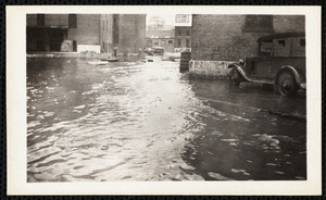
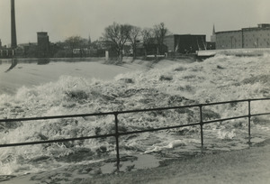
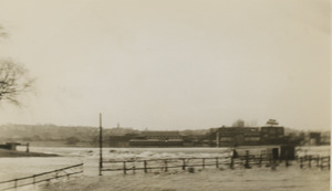
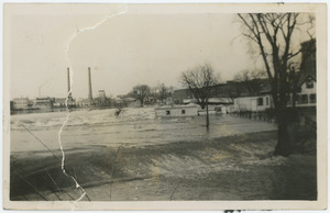
Springfield, Massachusetts, and other parts of New England during the flood of 1936 and the hurricane of 1938
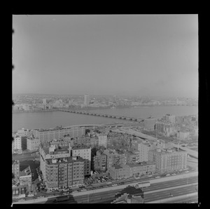
7.
Blandford, Massachusetts
8.
Area northwest of Northampton, Massachusetts, along the Mill River, including Bay State neighborhood of Northampton, Florence,...
9.
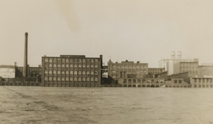
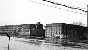
Granville, Massachusetts
10.
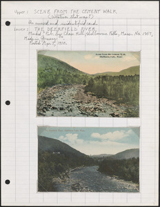
Deerfield, Massachusetts
11.
Mount Holyoke College, South Hadley, Massachusetts, and associated parts of Buckland, Massachusetts
12.
Hadley, Massachusetts
13.
Otis, Massachusetts, and East Otis, Massachusetts
14.
Middlefield, Massachusetts
15.
Smith College, Northampton, Massachusetts, and associated parts of Hatfield, Massachusetts
16.
West Springfield, Massachusetts, especially the Eastern States Exposition grounds
17.
Shelburne Falls, Massachusetts, and Shelburne, Massachusetts
18.
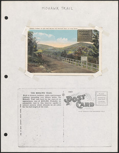
Mohawk Trail, Massachusetts
19.
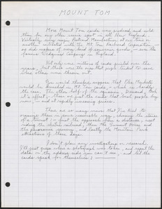
Mount Tom and surrounding areas in Massachusetts, including Mountain Park
20.
Belchertown, Massachusetts
21.
Arlington Water Ways
22.
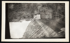
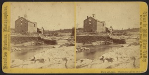
Travel Correspondences to MA Reardon (n.d.), n. I
23.
Nonotuck Silk Mill and break in dam--Leeds
24.
Nonotuck Silk Mill and break in dam--Leeds
25.
Buffalo Bill Dam and Lake on Cody Road to eastern entrance of Yellowstone National Park.
26.
Revere Beach, Revere, Massachusetts
27.
Damaged Mountain Mill trestle bridge gone at Mays
28.
Wyman and Allen Farms
29.
Railroad narrows, Bass River
30.
Big Thompson Canon, Highway U.S. 34 to Estes Park and Rocky Mountain National Park, Colorado.
31.
View from Forest Hill Inn showing Raven's Wing and Pinnacle Mountains in background
32.
Commonwealth Avenue, Auburndale
33.
Commonwealth Avenue Bridge looking west
34.
Felton Street looking east from the top of the temporary foot bridge
35.
Cheesecake Brook looking North
36.
Boston winter a
37.
Boston winter a
38.
Album
39.
University of Massachusetts, Amherst, and predecessor institutions in Amherst, Massachusetts
40.
Bemis factory, Charles River dam
41.
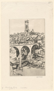
The New Bridge, Fribourg, Switzerland
42.
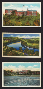
Marietta High School, Muskingum River, government dam and skyline, Marietta, Ohio
43.
View along the Housatonic River between Eagle Mill and Columbia Cove
44.
The original Mud Pond
45.
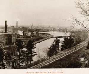
View on the Spicket River, Lawrence
46.
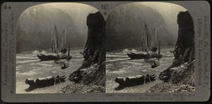
Witches' Mountain and the Yangtze River
47.
Below dam
48.
Dam
49.
Dam
50.
Dam and Broadway
51.
Dam in flood
52.
Dam in flood
53.
Merrimack River at the dam
54.
River at the dam
55.
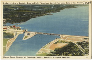
Ducks-eye view of Kentucky Dam and Lake
56.
Ducks-eye view of Kentucky Dam and Lake "America's Largest Man-made Lake in the World."
57.
Railroad bridge
58.
Matchless scene, Watkins Glen
59.
Mormon Turnpike Bridge, mouth of Weber Canon.
60.
Pilgrim's Rest. Watkins Glen
61.
Pistoia and the plains of Tuscany (and "A farm in the Emilia")
62.
Valley view, 1897
63.
Valley view, 1897
64.
Valley view with George's farm, 1897
65.
Photo
66.
Newton Lower Falls - Rt. 16
67.
O.G. [Spelman’s] Factory--Williamsburg
68.
Print Works
69.
Ruins of Spelman’s Button Factory and Saw Mill--Williamsburg
70.
Ruins of Spelman’s Button Factory and Saw Mill--Williamsburg
71.
Shawsheen Village
72.
Site of Spelman’s Button Factory and Saw Mill--Williamsburg
73.
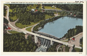
Birds-eye view of Tallulah Falls Bridge and lake on U.S. Highway 23 near Clayton, Ga.
74.
The Shannon River at the power plant, Ardnacrusha, Co. Limerick
75.
The Shannon River at the "Shannon Scheme," Ardnacrusha, Co. Limerick
76.
The Shannon river at the "Shannon Scheme," Ardnacrusha, Co. Limerick
77.
The waterfall, Methuen, Mass.
78.
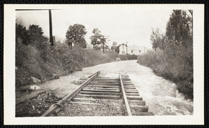
Willowdale Dam in Ipswich River, Lamson Bridge, Ipswich River during a spring freshet
79.
Wayland town meeting minutes, volume 4
80.
Wayland town meeting minutes, volume 5
81.
Tayford Pond Dam
82.
Pleasant Street -- Ancient and Modern
83.
Olmstead Park. Jamaica Pond. Morse estate, 1894, summer
84.
Perkins estate, Jamaica Pond, 1894
85.
Perkins estate, Jamaica Pond, 1894
86.
Pine bank, Robert Morse estate, Jamaica Pond. In winter, 1894
87.
Charles river viaduct
88.
Aerial view of the MDC overpass and a view of the Muddy River
89.
Aerial view of the MDC overpass complex and the Back Bay Fens
90.
Aerial view of the MDC overpass complex and the Massachusetts Avenue bridge
91.
Aerial view of the MDC overpass complex and the Massachusetts Avenue bridge
92.
Aerial view of the MDC overpass complex with the Citgo sign in view
93.
College crews practice on Charles River, Boston University boathouse in foreground, Boston
94.
Memorial Drive at Longfellow Bridge
95.
Memorial Drive at Longfellow Bridge
96.
Railroad bridge over Bass River, South Yarmouth, Mass.
97.
Mills north side Lawrence
98.
Pacific Mills
99.
View along the Housatonic River between Eagle Mill and Columbia Cove
100.
View along the Housatonic River between Eagle Mill and Columbia Cove
« Previous
Next »
1
2
3
4
5
…
485
486
Limit your search
Subject
Streets
9,794
Churches
6,884
Parks
5,432
Rivers
5,263
Lakes & ponds
3,790
Roads
3,537
Hotels
3,352
Bridges
3,271
more
Subject
»
Place
North and Central America
40,839
United States
40,361
Massachusetts
30,592
Suffolk (county)
9,046
Boston
8,345
Essex (county)
7,950
Middlesex (county)
3,646
Newburyport
2,429
more
Place
»
Format
Photographs
30,368
Postcards/Cards
10,801
Maps/Atlases
3,305
Prints
2,702
Manuscripts
1,695
Drawings/Illustrations
820
Documents
295
Ephemera
164
more
Format
»
Available to use
No known restrictions
20,702
Creative Commons license
9,874
Date
View distribution
Current results range from
1635
to
2023
Date range begin
Date range end
View larger »
Unknown
1,336
Collection
Tichnor Brothers Postcard Collection
6,929
Leslie Jones Collection
3,150
Bill Lane Photograph Collection
2,543
Land study maps, 1936-1937
1,680
Stereograph Collection
1,641
Boston Pictorial Archive (Collection of Distinction)
1,551
Arthur Griffin Photographs
1,332
Samuel Chamberlain Photograph Negatives Collection, 1928-1971, undated
1,283
more
Collection
»
Institution
Boston Public Library
22,861
Newburyport Public Library
2,543
Phillips Library at the Peabody Essex Museum
1,958
Lawrence Public Library
1,702
Massachusetts Archives
1,680
Griffin Museum of Photography
1,332
Springfield College Archives and Special Collections
1,304
Arlington Historical Society
1,075
more
Institution
»
![O.G. [Spelman’s] Factory--Williamsburg](https://bpldcassets.blob.core.windows.net/derivatives/images/commonwealth:dv140q92v/image_thumbnail_300.jpg)