Search


Limit your search
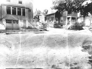
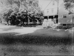
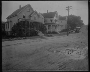
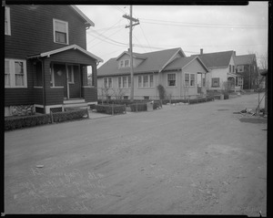
- Houses26,810
- Public libraries1,756
- Streets1,535
- Buildings1,393
- Historic buildings1,378
- Boston Public Library1,299
- Interiors1,282
- Trees1,099
- North and Central America33,355
- United States33,256
- Massachusetts31,937
- Suffolk (county)12,603
- Boston12,387
- Norfolk (county)10,411
- Needham9,026
- Back Bay3,782
- Photographs32,318
- Postcards/Cards1,420
- Prints1,280
- Drawings/Illustrations297
- Newspapers176
- Paintings114
- Ephemera74
- Manuscripts53
- No known restrictions18,971
- Creative Commons license11,786
- Needham Historical House Collection8,979
- Boston Pictorial Archive (Collection of Distinction)8,929
- Bainbridge Bunting Photograph Collection2,836
- Frank Cousins Glass Plate Negatives Collection, 1890-19201,541
- Historical Society of Old Yarmouth Archives and Local History Collection1,533
- Bill Lane Photograph Collection808
- Leon Abdalian Collection720
- Parker Collection694