Skip to search
Skip to main content
Skip to first result
Digital Commonwealth
Folders
Sign Up / Log In
Search for
Search
Search
Search
Basic
Advanced
Explore
Map
Collections
Institutions
Formats
For Educators
Primary Source Sets
Lesson Plans
Using Primary Sources
Searching Digital Commonwealth
For Institutions
Join Digital Commonwealth
Conferences, Trainings, & Events
How to Contribute Collections
Digitization Services
Board & Committees
Frequently Asked Questions
About
About Digital Commonwealth
News & Announcements
Copyright & Terms of Use
Harmful Content Statement
Partners
API
Contact Us
Search
Search Constraints
Start Over
Save Search
Your search:
More Like
commonwealth:8s45qz745
✖
Remove constraint More Like: commonwealth:8s45qz745
« Prev.
|
101
-
200
of
3,082
|
Next »
Sort
by date (asc)
relevance
title
date (asc)
date (desc)
Number of results to display per page
100
per page
per page
10
per page
20
per page
50
per page
100
per page
View results as:
List
list view
Maps
map view
Gallery
grid view
Search Results
101.
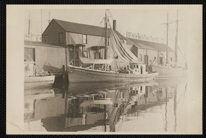
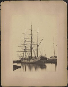
Whaling ship at dock
102.
Whaling ship Progress
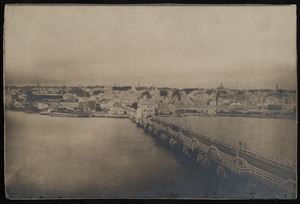
103.
Woods Hole, Mass.
104.
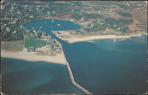
Wychmere Harbor
105.
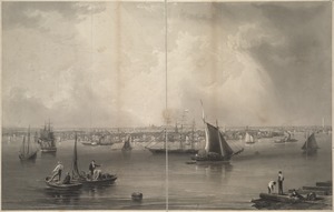
Boston
106.
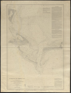
Entrance to Mobile Bay
107.
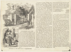
Entrance to the navy yard at Charlestown
108.
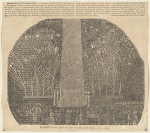
Exhibition of fire works on Bunker Hill, June 17th
109.
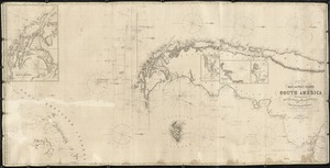
A general chart of the southern Atlantic Ocean and western coast of South America
110.
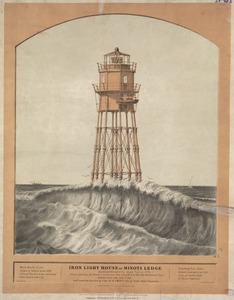
Iron light house on Minots Ledge
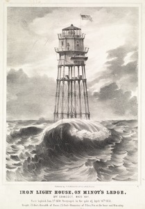
111.
Iron light house, on Minot's Ledge, off Cohasset, Mass Bay
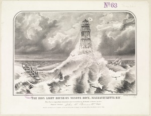
112.
The iron light house on Minots Rock, Massachusetts Bay
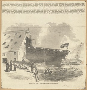
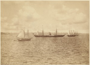
113.
Launch of the U. S. steam propeller Princeton
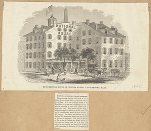
114.
The National House in Chelsea Street, Charlestown, Mass.
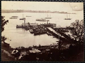
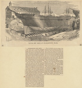
115.
Naval dry dock at Charlestown, Mass.
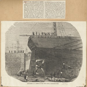
116.
Steamer S. S. Lewis in the dry dock, Charlestown
117.
View of Massachusetts State Prison, Charlestown, Mass.
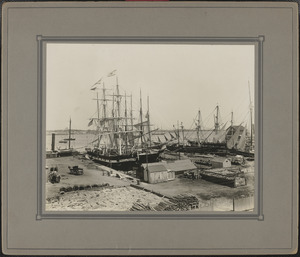
118.
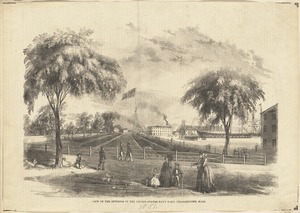
View of the interior of the United States Navy Yard, Charlestown, Mass.
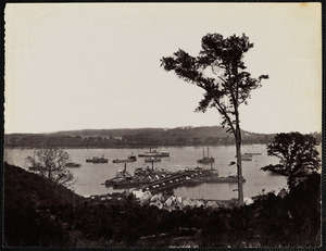
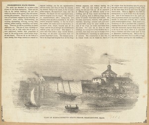
119.
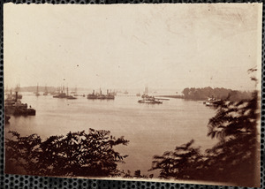
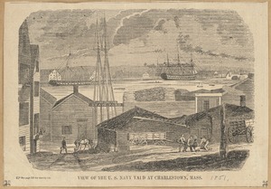
View of the U. S. Navy Yard at Charlestown, Mass.
120.
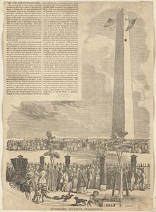
Bunker Hill Monument, Charlestown
121.
General Chart of the coast, from Gay Head to Cape Henlopen
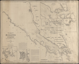
122.
General chart of the Mediterranean Sea and a portion of the Euxine or Black Sea with particular plans of the principal harbors
123.
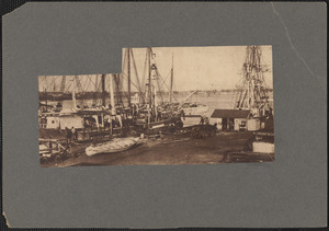
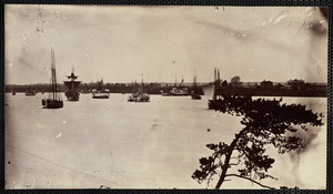
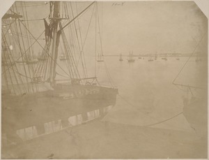
A chart showing the navigation through the Strait of Malacca, to Singapore, &c
124.
View of the new almshouse, Deer Island, Boston Harbor
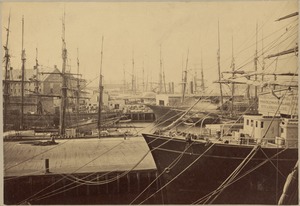
125.
Chart of the East and West coasts of South America, extending from the River Plate round Cape Horn to Valparaiso, with plans fo...
126.
Harbor scene
127.
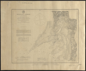
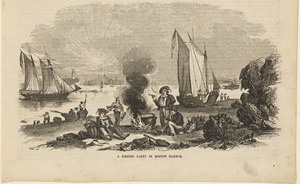
Wellfleet Harbor, Massachusetts
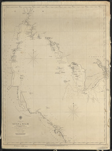
128.
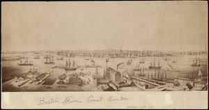
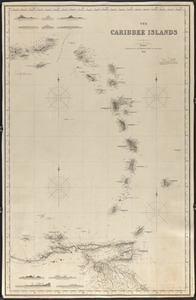
Boston from East Boston
129.
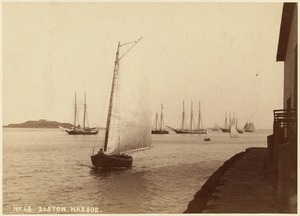
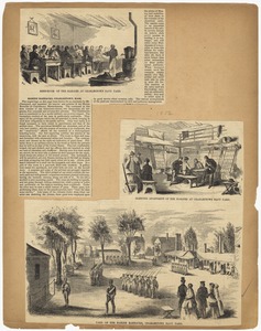
Boston Harbor
130.
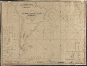
Cunard steamship "Batavia," Boston Harbor
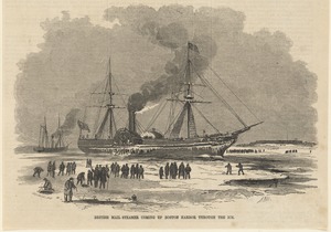
131.
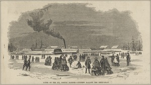
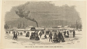
Harbor at Macao
132.
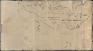
Unidentified harbor view with sailing vessels
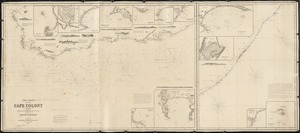
133.
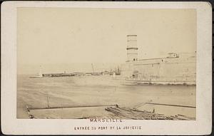
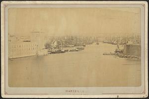
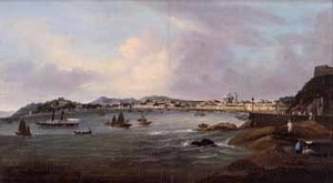
View of building at Charlestown Navy Yard
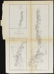
134.
A fishing party in Boston Harbor
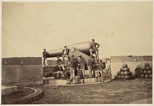
135.
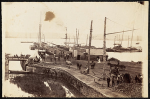
Gulf of Siam
136.
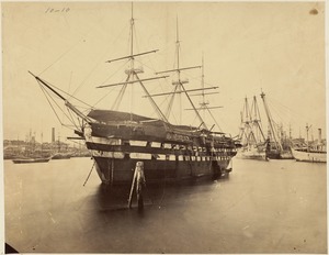
The Caribbee Islands
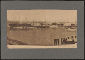
137.
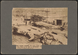
Mediterranean Sea, part I
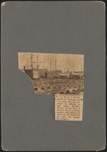
138.
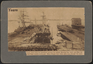
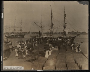
Mess-room of the marines at Charlestown Navy Yard ; Sleeping apartment of the marines at Charlestown Navy Yard ; Yard of the...
139.
Dutch vessels at Amsterdam ; Scene on South Boston bridge
140.
General chart of the South Atlantic or [illegible]iopic Ocean [illegible] the Equator to 65° south latitude [illegible]ng to...
141.
British mail steamer coming up Boston Harbor through the ice
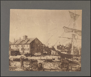
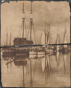
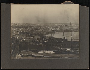
142.
Scene on the ice, Boston Harbor -- citizens hauling the ferry-boat
143.
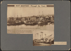
Scene on the ice, Boston Harbor -- citizens hauling the ferry-boat
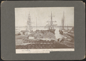
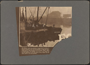
144.
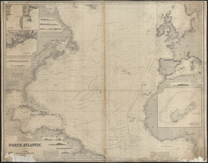
Chart of the coast of Africa from the Strait of Gibraltar to Sierra Leone
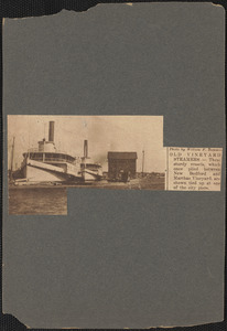
145.
The Coast of the Cape Colony
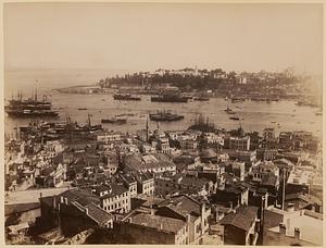
146.
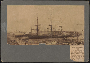
Marseille. Entrée du port de la Joliette
147.
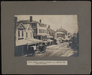
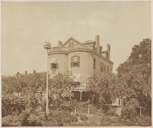
Sketch B.No.2 showing the progress of the survey in New York Bay & Hudson River from 1851 to 1859
148.
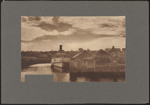
The Straits of Malacca and Singapore compiled from the most recent surveys
149.
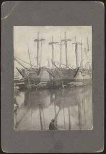
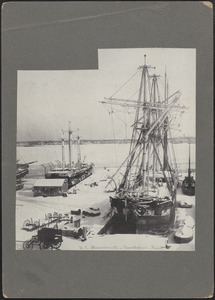
15 inch gun, Fort Warren
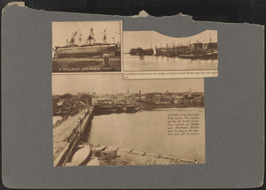
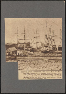
150.
At Merrill's Wharf
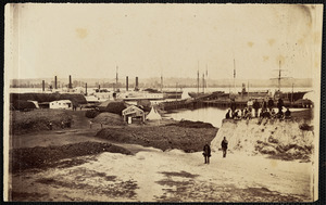
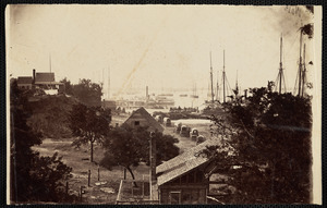
151.
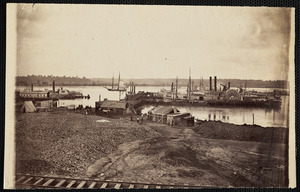
Boston, Massachusetts. Commercial Wharf, Atlantic Ave.
152.
Boston Navy Yard, Charlestown with view of ship identified as receiving ship Ohio
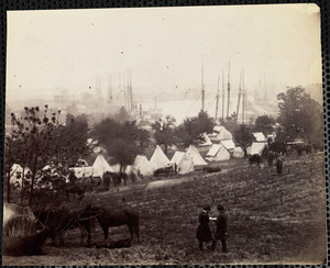
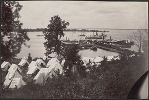
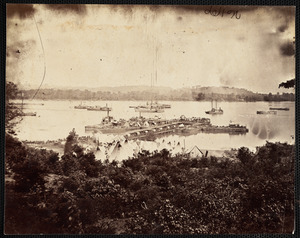
153.
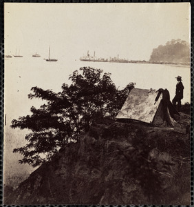
Calmly swaying with the tide, along Fairhaven's waterfront
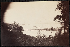
154.
The cargo landed, six great whales are seen lying on the dock at Spitzbergen, and another is visible in the harbor
155.
Casks of whale oil
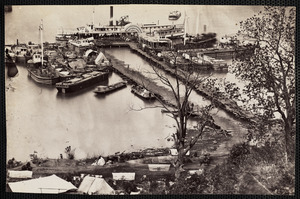
156.
An early scene along the waterfront showing the whalers Morning Star, left, and Eliza Adams and Niger, center, at the pier
157.
A familiar sight, when whaling was the foremost industry of New Bedford
158.
Laurie's general chart of the coasts of Brasil, &c. from the River Para to Buenos-Ayres, with particular plans of the harbors
159.
Marseille, entrée du Vieux Port
160.
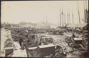
Merrill's Wharf
161.
New Bedford Fairhaven Drawbridge
162.
New Bedford Fishing Boat
163.
New Bedford Harbor
164.
New Bedford Harbor
165.
New Bedford Harbor
166.
New Bedford through the years
167.
New Bedford wharf scene
168.
North Atlantic
169.
Old Vineyard steamers
170.
Scene from Down to the Sea in Ships
171.
Seraglio Point
172.
Site of state pier
173.
Their last port, New Bedford, Massachusetts
174.
Union Street Showing Mansion House, New Bedford
175.
Unknown harbor
176.
Waterfront at dusk, the City of Lowell is shown tied up at the dock
177.
A whaleship hove down for repairs, looking south from the bridge toward Central wharf and the coal pockets, a view of the city...
178.
Whaling ships docked at wharf in New Bedford in winter
179.
The wharf of yesterday
180.
The winter's worst fog
181.
Aiken's Landing James River
182.
Alexandria Virginia, Government Coal Wharf
183.
Alexandria Virginia Government Coal Wharf
184.
Alexandria Virginia Government Coal Wharf
185.
Army of Potomac at Cumberland Landing
186.
Belle Plain Landing Distant View
187.
Belle Plain Virginia
188.
Belle Plain Virginia
189.
Belle Plain Virginia
190.
Belle Plain Virginia
191.
Belle Plain Virginia Lower Landing
192.
Belle Plain Virginia lower wharf
193.
Belle Plain Virginia, Lower Wharf
194.
Belle Plain Virginia, Lower wharf
195.
Belle Plain Virginia, Lower Wharf
196.
Belle Plain Virginia, Lower Wharf
197.
Belle Plain Virginia, Lower wharf
198.
Belle Plain Virginia Lower Wharf
199.
Bermuda Hundred Landing, James River
200.
Captured artillery Richmond
« Previous
Next »
1
2
3
4
5
6
…
30
31
Limit your search
Subject
Harbors
2,966
Boats
972
Piers & wharves
537
Islands
272
Waterfronts
236
Ships
235
Harbors--Provincetown--Mass
201
Provincetown (Mass.)--History--20th century
184
more
Subject
»
Place
North and Central America
2,699
United States
2,648
Massachusetts
2,231
Essex (county)
796
Barnstable (county)
645
Suffolk (county)
380
Boston Harbor
276
Boston
269
more
Place
»
Format
Photographs
1,876
Postcards/Cards
621
Prints
242
Maps/Atlases
179
Documents
103
Newspapers
54
Paintings
33
Drawings/Illustrations
26
more
Format
»
Available to use
No known restrictions
1,050
Creative Commons license
994
Date
View distribution
Current results range from
1723
to
2002
Date range begin
Date range end
View larger »
Unknown
240
Collection
Boston Pictorial Archive (Collection of Distinction)
372
Samuel Chamberlain Photograph Negatives Collection, 1928-1971, undated
336
Falmouth Public Library Historical Postcard Collection
313
Bill Lane Photograph Collection
310
Tichnor Brothers Postcard Collection
214
Nautical Chart Collection of the Chatham Historical Society
167
John Dowd Althea Boxell Collection
161
Arthur Griffin Photographs
118
more
Collection
»
Institution
Boston Public Library
1,224
Phillips Library at the Peabody Essex Museum
364
Falmouth Public Library
313
Newburyport Public Library
310
Provincetown History Preservation Project
210
Atwood Museum of the Chatham Historical Society
167
Griffin Museum of Photography
118
New Bedford Free Public Library
84
more
Institution
»


![General chart of the South Atlantic or [illegible]iopic Ocean [illegible] the Equator to 65° south latitude [illegible]ng to the latest surveys & observations](https://bpldcassets.blob.core.windows.net/derivatives/images/commonwealth:n87107022/image_thumbnail_300.jpg)