Search
Limit your search
- Houses26,810
- Historic buildings1,307
- Streets1,234
- Trees1,057
- Interiors993
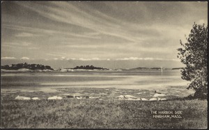
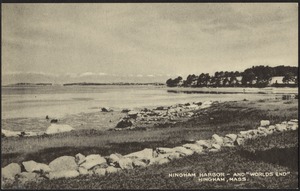
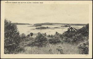
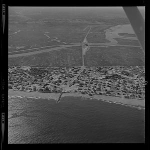
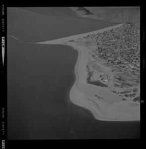
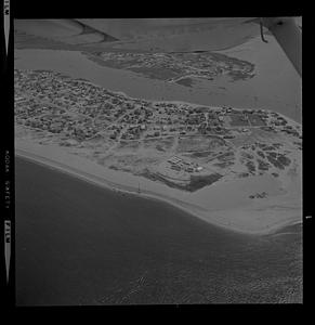
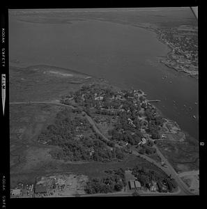
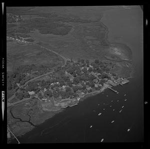
- Coastlines892
- Automobiles880
- Snow558
- North and Central America25,674
- United States25,563
- Massachusetts24,085
- Norfolk (county)10,418
- Needham9,021
- Suffolk (county)4,614
- Boston4,488
- Essex (county)3,093
- Needham Historical House Collection8,974
- Bainbridge Bunting Photograph Collection2,836
- Historical Society of Old Yarmouth Archives and Local History Collection1,636
- Frank Cousins Glass Plate Negatives Collection, 1890-19201,541
- Bill Lane Photograph Collection854
- Boston Pictorial Archive (Collection of Distinction)803
- Leon Abdalian Collection713
- Parker Collection713