Skip to search
Skip to main content
Skip to first result
Digital Commonwealth
Folders
Sign Up / Log In
Search for
Search
Search
Search
Basic
Advanced
Explore
Map
Collections
Institutions
Formats
For Educators
Primary Source Sets
Lesson Plans
Using Primary Sources
Searching Digital Commonwealth
For Institutions
Join Digital Commonwealth
Conferences, Trainings, & Events
How to Contribute Collections
Digitization Services
Board & Committees
Frequently Asked Questions
About
About Digital Commonwealth
News & Announcements
Copyright & Terms of Use
Harmful Content Statement
Partners
API
Contact Us
Search
Search Constraints
Start Over
Save Search
Your search:
More Like
commonwealth:7h14b1634
✖
Remove constraint More Like: commonwealth:7h14b1634
« Prev.
|
181
-
200
of
11,500
|
Next »
Sort
by relevance
relevance
title
date (asc)
date (desc)
Number of results to display per page
20
per page
per page
10
per page
20
per page
50
per page
100
per page
View results as:
List
list view
Maps
map view
Gallery
grid view
Search Results
181.
Western Massachusetts open space abounds
182.
A Map of Connecticut and Rhode Island, with Long Island Sound, &c
183.
The State of Rhode Island, : from the latest surveys. 1796
184.
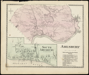
Amesbury
185.
Amesbury
186.
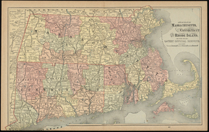
Atlas Maps of Massachusetts, Connecticut and Rhode Island, from the Latest Official Surveys.
187.
Atlas of Massachusetts
188.
Atlas of Massachusetts
189.
Atlas of Massachusetts
190.
Boston Harbor
191.
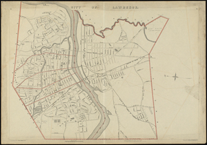
City of Lawrence
192.
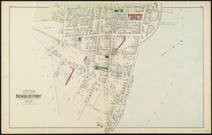
City of Newburyport
193.
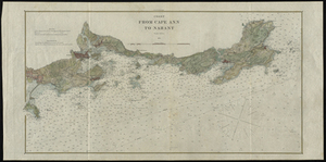
Coast from Cape Ann to Nahant
194.
Commonwealth of Massachusetts U.S. congressional districts
195.
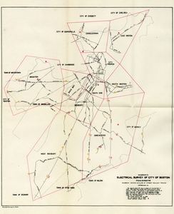
Electrical Survey of City of Boston
196.
EOEA MassGIS geographic information system transition document : The EOEA geographic information system: MassGIS
197.
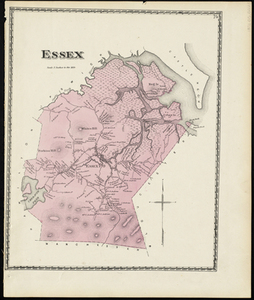
Essex
198.
Essex
199.
General plan of the MWRA/MDC water system
200.
Geographical, historical, and statistical map of Massachusetts
« Previous
Next »
1
2
…
6
7
8
9
10
11
12
13
14
…
574
575
Limit your search
Subject
Real property--Massachusetts--Boston--Maps
2,278
Landowners--Massachusetts--Boston--Maps
2,117
Boston (Mass.)--Maps
1,977
Roxbury (Boston, Mass.)--Maps
351
Dorchester (Boston, Mass.)--Maps
317
Massachusetts--Maps
271
Cambridge (Mass.)--Maps
266
Brookline (Mass.)--Maps
236
more
Subject
»
Place
North and Central America
8,789
United States
7,697
Massachusetts
5,063
Suffolk (county)
3,355
Boston
3,215
Europe
1,359
Middlesex (county)
618
Canada
449
more
Place
»
Format
Maps/Atlases
11,440
Manuscripts
217
Prints
56
Books
36
Objects/Artifacts
10
Drawings/Illustrations
8
Posters
4
Available to use
No known restrictions
11,347
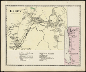
Creative Commons license
50
Date
View distribution
Current results range from
1482
to
2023
Date range begin
Date range end
View larger »
Unknown
2
Collection
Norman B. Leventhal Map & Education Center Collection
11,415
Boston and New England Maps (Collection of Distinction)
5,158
Urban Maps (Collection of Distinction)
4,858
Maritime Charts and Atlases (Collection of Distinction)
1,081
American Revolutionary War-Era Maps (Collection of Distinction)
624
Boston Redevelopment Authority Collection
90
Historic Maps
33
David Judkins Weaver Papers
17
more
Collection
»
Institution
Boston Public Library
11,415
Salem State University Archives and Special Collections
33
State Library of Massachusetts
33
Phillips Academy
8
American Antiquarian Society
6
Private Collection
3
Massachusetts Historical Society
1
Melrose Public Library
1