Search
Limit your search
- Cities & towns7,973
- Streets830
- Rivers672
- Waterfronts440
- Bridges313
- Skyscrapers293
- Boats268
- Beaches185
- North and Central America6,390
- United States6,287
- Massachusetts4,167
- Suffolk (county)2,017
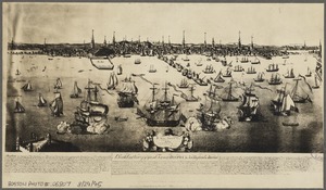
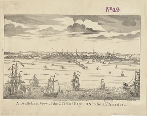
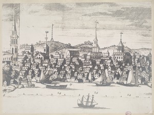
- Boston1,903
- Europe1,128
- Essex (county)769
- Norfolk (county)621
Current results range from 1709 to 2019