Search
Limit your search
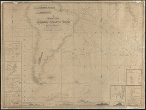
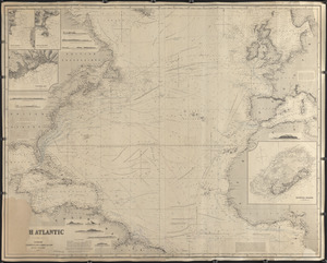
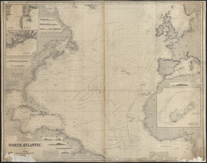
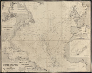
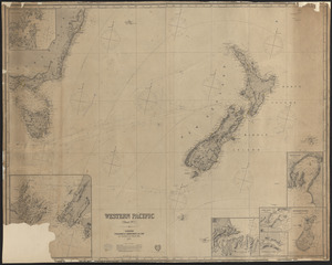
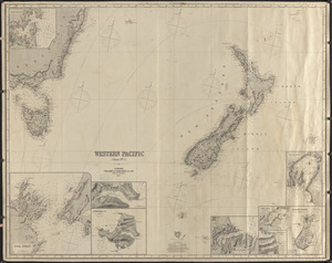
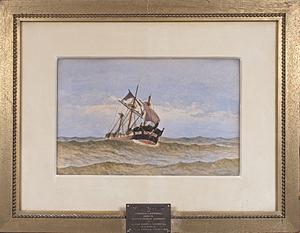
- Nautical Chart Collection of the Chatham Historical Society167
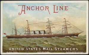
- 19th Century American Trade Cards33
- Historical Society of Old Yarmouth Archives and Local History Collection17
- Arthur Griffin Photographs13
- Art and Artifacts Collection8
- College Archives Digital Collections8
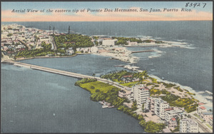
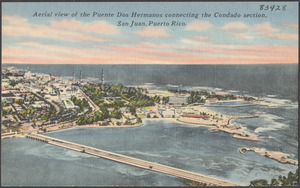
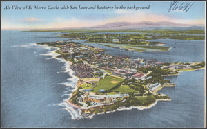
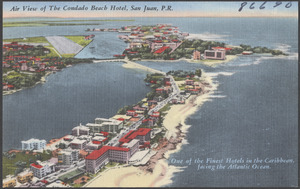
- Tichnor Brothers Postcard Collection8
- Stereograph Collection7