Skip to search
Skip to main content
Skip to first result
Digital Commonwealth
Folders
Sign Up / Log In
Search for
Search
Search
Search
Basic
Advanced
Explore
Map
Collections
Institutions
Formats
For Educators
Primary Source Sets
Lesson Plans
Using Primary Sources
Searching Digital Commonwealth
For Institutions
Join Digital Commonwealth
Conferences, Trainings, & Events
How to Contribute Collections
Digitization Services
Board & Committees
Frequently Asked Questions
About
About Digital Commonwealth
News & Announcements
Copyright & Terms of Use
Harmful Content Statement
Partners
API
Contact Us
Search
Search Constraints
Start Over
Save Search
Your search:
More Like
commonwealth:4t64gr19n
✖
Remove constraint More Like: commonwealth:4t64gr19n
« Prev. |
1
-
20
of
3,573
|
Next »
Sort
by relevance
relevance
title
date (asc)
date (desc)
Number of results to display per page
20
per page
per page
10
per page
20
per page
50
per page
100
per page
View results as:
List
list view
Maps
map view
Gallery
grid view
Search Results
1.
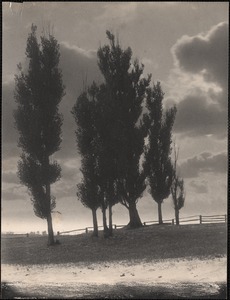
Poplars against the sunset
2.
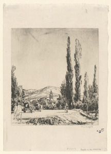
A road in the Marche (Italy)
3.
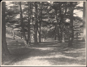
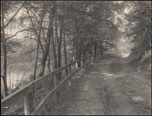
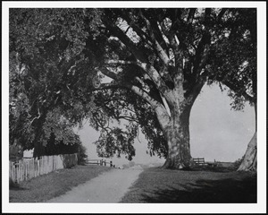
Avenue to gate house, Lake Cochituate
4.
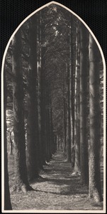
Cathedral walk, North Cemetery
5.
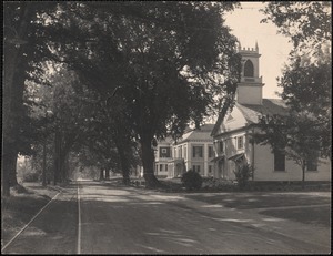
Cochituate Road, Wayland - Orthodox church, Odd Fellows Hall, school
6.
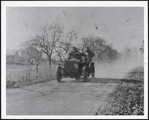
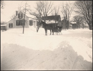
First Wayland fire truck
7.
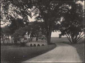
Four-Arch Bridge
8.
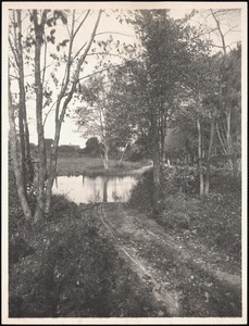
Mill Brook, Claypit Hill Road ford.
9.
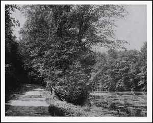
Mill Pond and Plain Road
10.
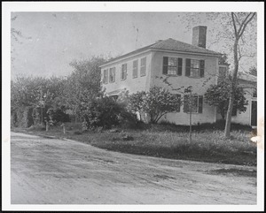
Nathaniel Reeves Jr. house
11.
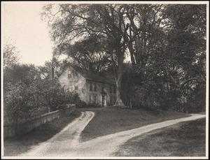
Old Morse house, built 1759
12.
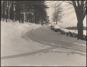
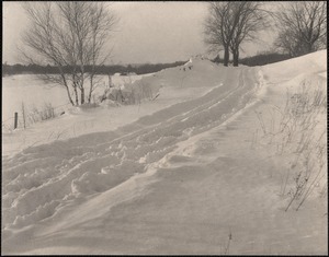
On Draper Road, a February afternoon
13.
Pelham Island Road above Heard’s Pond, elms of Sears family
14.
Pelham Island Road with pung in winter
15.
Plain Road
16.
Snow Scene, Draper Road (?)
17.
Snow Scene, Draper Road (?)
18.
Wayland Center in February
19.
Wayland village street
20.
Winter scene
« Previous
Next »
1
2
3
4
5
…
178
179
Limit your search
Subject
Roads
3,434
Cities and towns
1,680
Land use mapping
1,680
Soil mapping
1,680
United States. Work Projects Administration
1,680
United States. Works Progress Administration
1,680
Trees
319
Houses
144
more
Subject
»
Place
North and Central America
3,137
United States
3,098
Massachusetts
2,654
Middlesex (county)
511
Essex (county)
450
Worcester (county)
327
Berkshire (county)
286
Norfolk (county)
184
more
Place
»
Format
Maps/Atlases
1,692
Photographs
1,057
Postcards/Cards
685
Prints
115
Manuscripts
32
Film/Video
29
Albums/Scrapbooks
18
Ephemera
18
more
Format
»
Available to use
No known restrictions
2,750
Creative Commons license
249
Date
View distribution
Current results range from
1683
to
2011
Date range begin
Date range end
View larger »
Unknown
20
Collection
Land study maps, 1936-1937
1,680
Tichnor Brothers Postcard Collection
576
Bill Lane Photograph Collection
217
Wayland Free Public Library Photograph Collection
142
Leon Abdalian Collection
70
Alexander Davidson Photography
48
Edmund L. Mitchell Collection
42
Hamilton Historical Society Collection
41
more
Collection
»
Institution
Massachusetts Archives
1,680
Boston Public Library
998
Newburyport Public Library
217
Wayland Free Public Library
149
Williams College
48
Hamilton Historical Society
41
Lenox Library Association
35
Phillips Library at the Peabody Essex Museum
33
more
Institution
»