Skip to search
Skip to main content
Skip to first result
Digital Commonwealth
Folders
Sign Up / Log In
Search for
Search
Search
Search
Basic
Advanced
Explore
Map
Collections
Institutions
Formats
For Educators
Primary Source Sets
Lesson Plans
Using Primary Sources
Searching Digital Commonwealth
For Institutions
Join Digital Commonwealth
Conferences, Trainings, & Events
How to Contribute Collections
Digitization Services
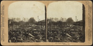
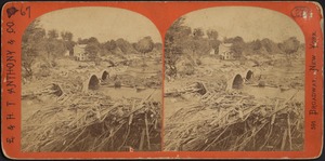
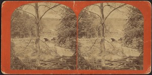
Board & Committees
Frequently Asked Questions
About
About Digital Commonwealth
News & Announcements
Copyright & Terms of Use
Harmful Content Statement
Partners
API
Contact Us
Search
Search Constraints
Start Over
Save Search
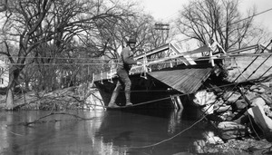
Your search:
More Like
commonwealth:3j333n86z
✖
Remove constraint More Like: commonwealth:3j333n86z
« Prev. |
1
-
100
of
9,623
|
Next »
Sort
by relevance
relevance
title
date (asc)
date (desc)
Number of results to display per page
100
per page
per page
10
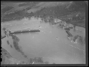
per page
20
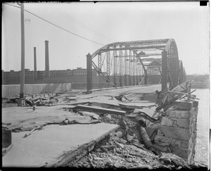
per page
50
per page
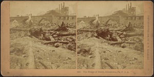
100
per page
View results as:
List
list view
Maps
map view
Gallery
grid view
Search Results
1.
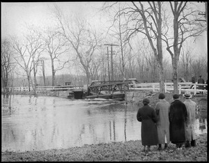
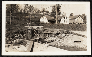
Between bridge and falls
2.
Between bridge and falls
3.
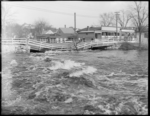
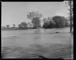
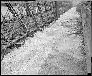
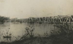
Falls bridge
4.
Falls bridge
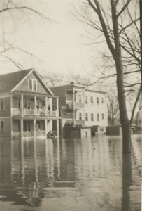
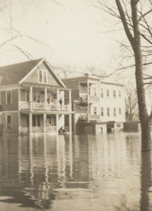
5.
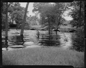
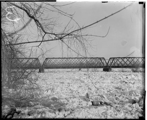
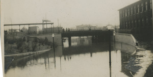
Falls bridge and railroad bridge near dam
6.
North of the falls bridge looking south
7.
Falls bridge
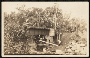
8.
Above the falls
9.
Below dam
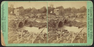
10.
Boats
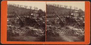
11.
Dam
12.
Dam
13.
Dam and Broadway
14.
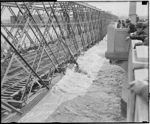
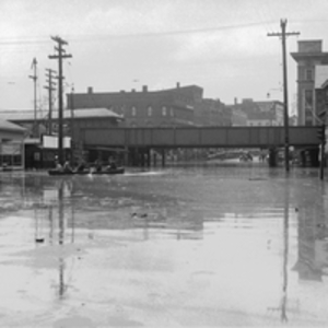
Dam in flood
15.
Dam in flood
16.
Merrimack River at the dam
17.
Mills north side Lawrence
18.
River
19.
River, cars, houses
20.
Trees
21.
Area northwest of Northampton, Massachusetts, along the Mill River, including Bay State neighborhood of Northampton, Florence,...
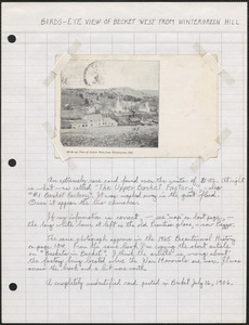
22.
Becket, Massachusetts
23.
County bridge, Passaic, N.J.
24.
The flood of 1936
25.
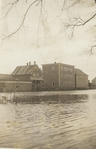
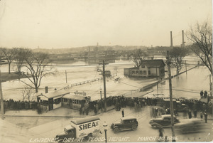
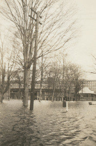
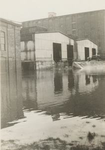
Floods [1955]
26.
Holyoke, Massachusetts
27.
Mill River flood, Hampshire County, Mass., May 16, 1874
28.
Northampton, Massachusetts
29.
Springfield, Massachusetts, and other parts of New England during the flood of 1936 and the hurricane of 1938
30.
“Stone Bridge--Leeds”
31.
Water flowing under Broadway Bridge looking north
32.
Water flowing under Broadway Bridge looking south
33.
Water flowing under Duck Bridge
34.
1st 2 houses on right of Salem St. coming from Mass. Ave., N. And.
35.
1st 2 houses on right of Salem St. coming from Mass. Ave., N. And.
36.
Boat, houses
37.
Broadway
38.
Broadway south of the falls
39.
Building
40.
Buildings
41.
Flood height at the dam March 20, 1936
42.
From the front of 60 Salem St. across south Common at Mill that is now Bull/Honeywell, N. And.
43.
Garage?
44.
Glennies Dairy N. Andover
45.
House
46.
House on east side Mass. Ave. taken from Salem St., N. And.
47.
Looking west on Salem St., lst 2 houses before Osgood St., N. And., boat
48.
Mass. Ave. & Salem St., N. And.
49.
Methuen
50.
Methuen
51.
Methuen Rt. 10
52.
Osgood & Salem Streets looking east N. And.
53.
Osgood & Salem Streets, N. And.
54.
Pacific mill?
55.
Railroad bridge
56.
Rts. 28 and 133 Balmoral Bldg., sign pointing to Shawsheen Manor
57.
Shawsheen Village
58.
Shawsheen Village
59.
Shawsheen Village
60.
Shawsheen Village
61.
South Common looking east
62.
Train on railroad bridge crossing Parker Street
63.
Uswoco
64.
White Shawsheen
65.
Aerial photos, New England flood
66.
Aerial photos, New England flood
67.
Bridge
68.
Bridge damaged by flood, Bellows Falls
69.
Bridge damaged, New England flood
70.
The bridge of death, Johnstown, Pa. U.S.A.
71.
Bridge washed out by flood, Hurricane of 38
72.
Bridge washed out by flood, Hurricane of 38
73.
Close-up of damaged bridge
74.
Construction of new driveway after flood
75.
Damaged Mountain Mill trestle bridge gone at Mays
76.
Flood
77.
Flood
78.
Flood Belmont Center
79.
Flood destroys bridge, Colebrook, New Hampshire
80.
Flood, New England
81.
Flood, New England
82.
Flooded bridge with a large vehicle at the end
83.
Flooded road and submerged bridge
84.
Flooded waters under bridge with houses in the distance
85.
Flooding
86.
Flooding
87.
Flooding
88.
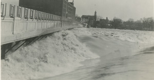
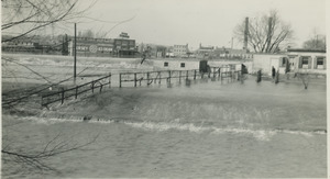
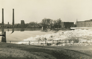
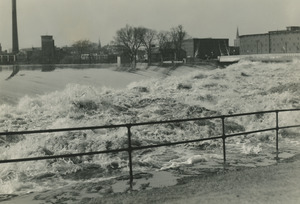
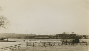
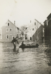
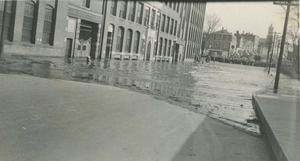
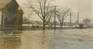
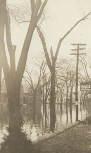
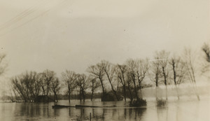
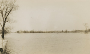
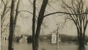
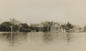
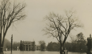
Floods [1955]
89.
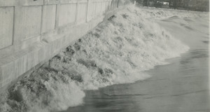
Floods [1955]
90.
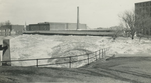
Floods [1955]
91.
High Water
92.
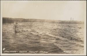
Holyoke, South Hadley Bridge March 19, 1936
93.
Hurricane 1938
94.
Lowell bridge
95.
New Mountain Road bridge construction
96.
Parkers St. railroad bridge
97.
Railroad bridge
98.
Ruins of Stone Bridge--Leeds
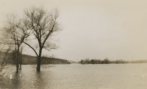
99.
Ruins of Stone Bridge--Leeds
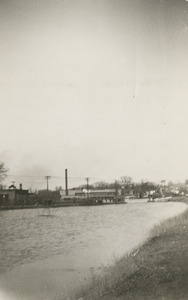
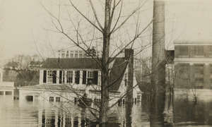
100.
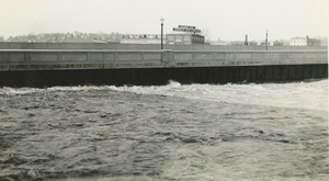
View at cove near Depot, [along Joe Wright Brook], wreck of Iron Bridge where 20 bodies found--Williamsburg
« Previous
Next »
1
2
3
4
5
…
96
97
Limit your search
Subject
Rivers
5,252
Bridges
3,225
Floods
2,323
Cities & towns
852
Boats
806
Bodies of water
509
Trees
478
Business enterprises
405
more
Subject
»
Place
North and Central America
7,047
United States
6,920
Massachusetts
4,984
Suffolk (county)
1,149
Essex (county)
1,019
Boston
847
Charles
786
Middlesex (county)
719
more
Place
»
Format
Photographs
6,937
Postcards/Cards
1,572
Prints
964
Manuscripts
75
Paintings
58
Drawings/Illustrations
55
Maps/Atlases
50
Film/Video
34
more
Format
»
Available to use
No known restrictions
3,660
Creative Commons license
1,855
Date
View distribution
Current results range from
1638
to
2016
Date range begin
Date range end
View larger »
Unknown
56
Collection
Tichnor Brothers Postcard Collection
1,087
Boston Herald-Traveler Photo Morgue
726
Leslie Jones Collection
654
Lee Library Historical Photograph Collection
623
Project DOCUMERICA Photographs by Ernst Halberstadt
616
Bill Lane Photograph Collection
463
Stereograph Collection
397
Historical Society of Old Yarmouth Archives and Local History Collection
393
more
Collection
»
Institution
Boston Public Library
5,578
Lee Library Association
623
Newburyport Public Library
463
Historical Society of Old Yarmouth
430
Griffin Museum of Photography
280
Historical Society of Old Newbury
229
Phillips Library at the Peabody Essex Museum
174
The Medford Historical Society & Museum
173
more
Institution
»

![Floods [1955]](https://bpldcassets.blob.core.windows.net/derivatives/images/commonwealth:h128rq06p/image_thumbnail_300.jpg)


![Floods [1955]](https://bpldcassets.blob.core.windows.net/derivatives/images/commonwealth:h128rq18g/image_thumbnail_300.jpg)
![Floods [1955]](https://bpldcassets.blob.core.windows.net/derivatives/images/commonwealth:h128rq34v/image_thumbnail_300.jpg)
![Floods [1955]](https://bpldcassets.blob.core.windows.net/derivatives/images/commonwealth:h128rq56w/image_thumbnail_300.jpg)

![View at cove near Depot, [along Joe Wright Brook], wreck of Iron Bridge where 20 bodies found--Williamsburg](https://bpldcassets.blob.core.windows.net/derivatives/images/commonwealth:s7526f365/image_thumbnail_300.jpg)