Search

Limit your search
- North and Central America5,844
- United States5,709
- Massachusetts4,250
- Berkshire (county)1,988
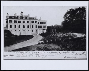
- Lenox1,664
- Essex (county)462
- Middlesex (county)388
- Europe330
- Photographs3,205
- Maps/Atlases1,697
- Postcards/Cards1,341
- Prints511
- Posters52
- Ephemera46
- Manuscripts36
- Film/Video32