Skip to search
Skip to main content
Skip to first result
Digital Commonwealth
Folders
Sign Up / Log In
Search for
Search
Search
Search
Basic
Advanced
Explore
Map
Collections
Institutions
Formats
For Educators
Primary Source Sets
Lesson Plans
Using Primary Sources
Searching Digital Commonwealth
For Institutions
Join Digital Commonwealth
Conferences, Trainings, & Events
How to Contribute Collections
Digitization Services
Board & Committees
Frequently Asked Questions
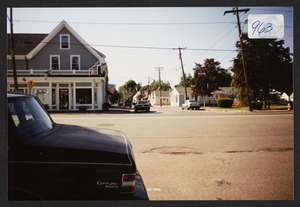
About
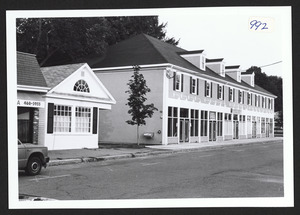
About Digital Commonwealth
News & Announcements
Copyright & Terms of Use
Harmful Content Statement
Partners
API
Contact Us
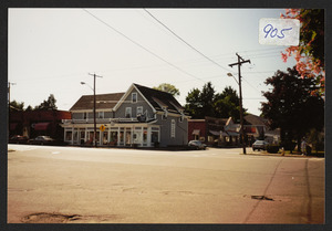
Search
Search Constraints
Start Over
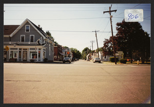
Save Search
Your search:
More Like
commonwealth:1c18dv91p
✖
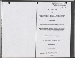
Remove constraint More Like: commonwealth:1c18dv91p
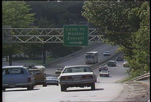
« Prev. |
1
-
100
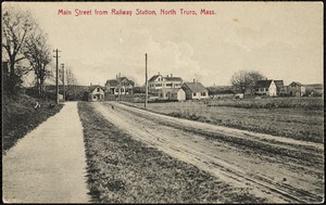
of
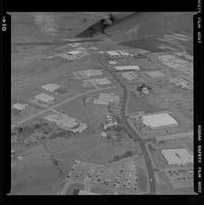
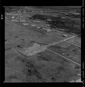
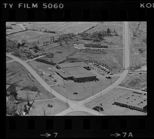
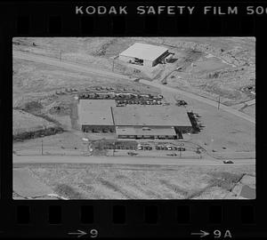
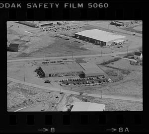
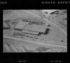
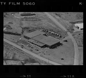
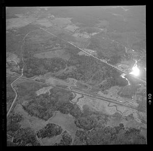
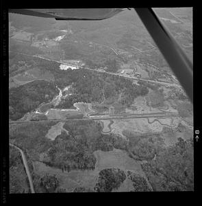
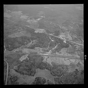
5,157
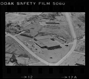
|
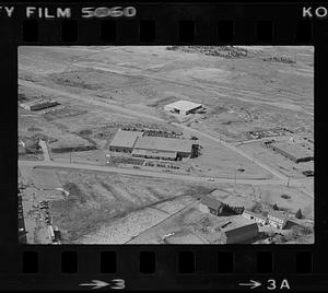
Next »
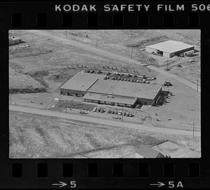
Sort
by date (desc)
relevance
title
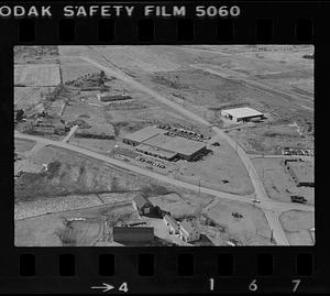
date (asc)
date (desc)
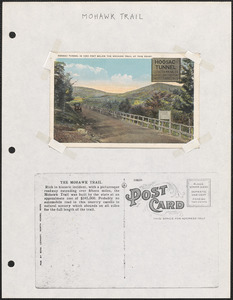
Number of results to display per page
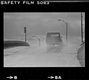
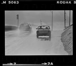
100
per page
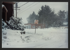
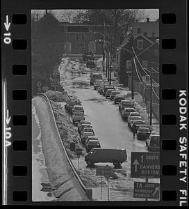
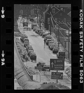
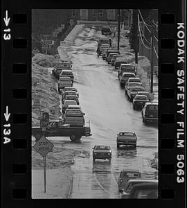
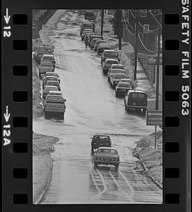
per page
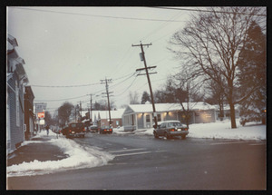
10
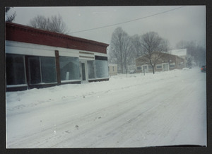
per page
20
per page
50
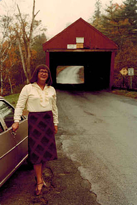
per page
100
per page
View results as:
List
list view
Maps
map view
Gallery
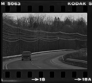
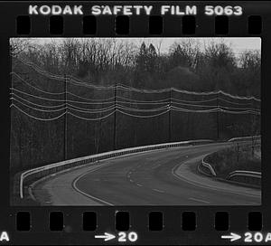
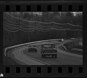
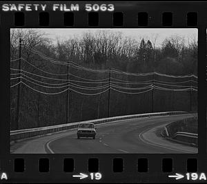
grid view
Search Results
1.
Focus 580; Bicycle: the History
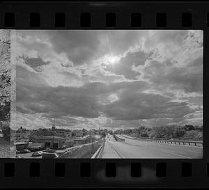
2.
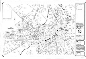
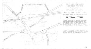
Plans showing proposed Historic District changes in Wayland Massachusetts : 2001 Annual Town Meeting Article 34
3.
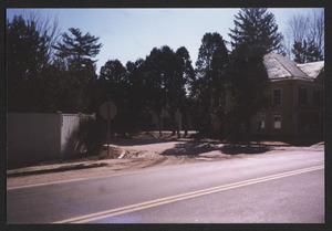
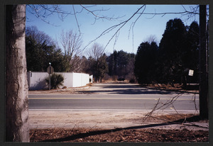
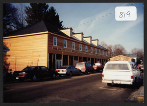
Kinsman Lane in 1999 between Hamilton Post Office and 595 Bay Rd.
4.
Kinsman Lane in 1999 between post office and 595 Bay Rd.
5.
Kinsman Lane in 1999 between post office and 595 Bay Rd.
6.
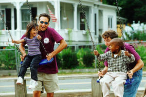
Humanics in Action Day Swinging (September 10, 1998)
7.
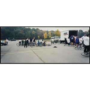
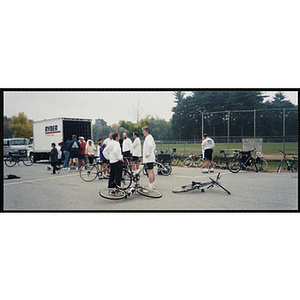
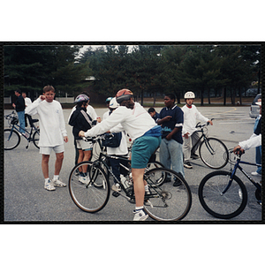
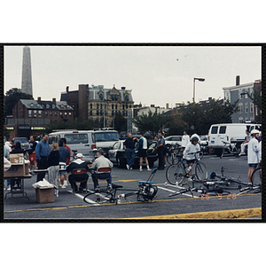
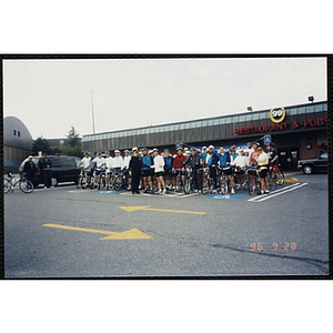
Adults and children congregate with their bikes in a parking lot for the Charlestown Bike Race
8.
Adults gather in a parking lot with their bikes for the Charlestown Bike Race
9.
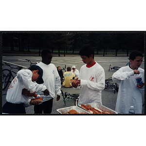
Boys prepare hotdogs in a parking lot at The Partnership Ride
10.
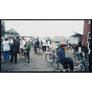
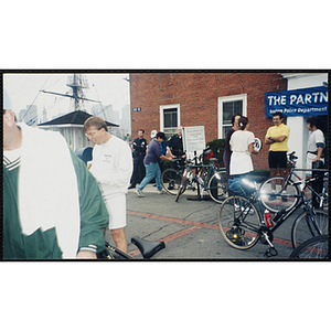
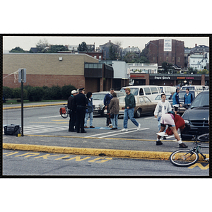
Children, adults and Boston police officers talk in groups during The Partnership Ride
11.
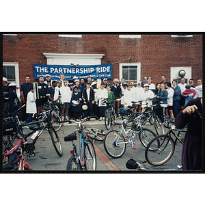
Children, teenagers, adults and Boston police officers pose for a group shot during The Partnership Ride
12.
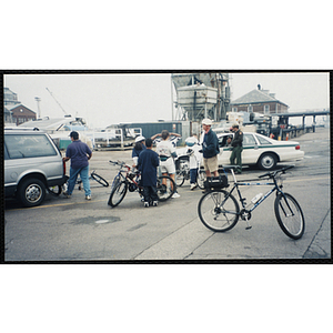
Riders and a Boston police officer congregate in a parking lot during The Partnership Ride
13.
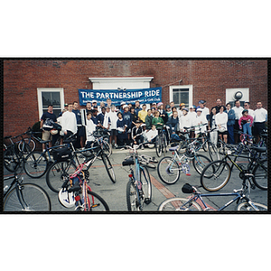
Riders and Boston police officers pose for a group shot during The Partnership Ride
14.
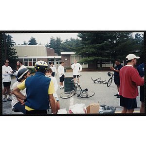
Riders chat at The Partnership Ride as two Boston police officers look on and Executive Director Jerry Steimel (center, in...
15.
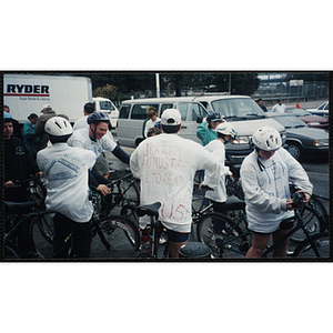
Riders mount their bikes in a parking lot at The Partnership Ride
16.
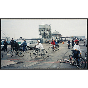
Riders participate in The Partnership Ride as two Boston police officers look on
17.
Riders stop on a pier during The Partnership Ride
18.
Teenagers gather with their bicycles in a parking lot as Executive Director Jerry Steimel looks on
19.
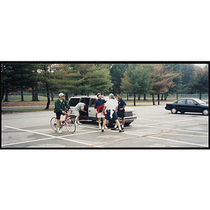
Three men stand next to a mini van as another man straddles a bike in a parking lot for the Charlestown Bike Race
20.
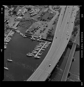
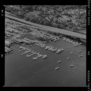
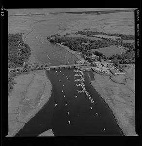
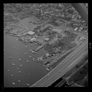
Newburyport marinas
21.
Newburyport marinas
22.
People gather in a parking lot at the Charlestown Bike Race
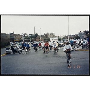
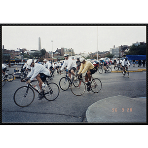
23.
Race officials and riders occupy a parking lot during the Charlestown Bike Race
24.
Riders exit a parking lot during the Charlestown Bike Race
25.
Riders leave a parking lot during the Charlestown Bike Race
26.
Riders pose for a large group shot with their bicylces in a parking lot for the Charlestown Bike Race
27.
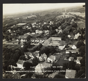
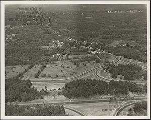
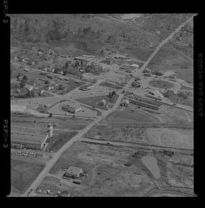
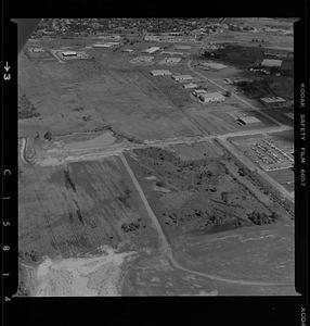
Aerial view of Hopkinton
28.
Plan of proposed addition to the Wayland Historic District, January 25, 1995
29.
Connolly's Drug Store, Bay Rd and R.R. Ave.
30.
New building at site of old Smith Block
31.
Connolly's Drug Store, 1993
32.
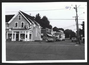
Depot Square, Railroad Ave., 1993
33.
Railroad Avenue from Bay Road, 1993
34.
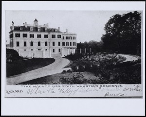
The Mount: front of house
35.
Trinity Church: close-up of exterior
36.
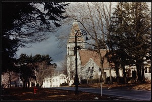
Trinity Church: exterior from Kemble St.
37.
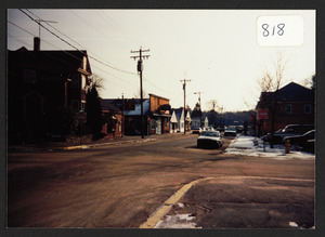
Corner of Willow and Railroad Ave looking toward Depot Sq.
38.
New building where Chittick store had been, also site of Smith Hall, railroad Ave., winter 1991
39.
From Willow St. looking at Railroad Ave, Hamilton, Mass
40.
Looking up Railroad Ave., Hamilton, Mass.
41.
Railroad Avenue toward Willow St. Hamilton, Mass
42.
Hadley, Massachusetts
43.
Iowa Press; Roads
44.
Newburyport
45.
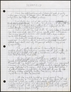
Deerfield, Massachusetts
46.
Central Artery
47.
Middlefield, Massachusetts
48.
Shelburne Falls, Massachusetts, and Shelburne, Massachusetts
49.
Rocklawn: aerial photo of 63 Cliffwood St.
50.
Main Street from Railway Station, North Truro, Mass.
51.
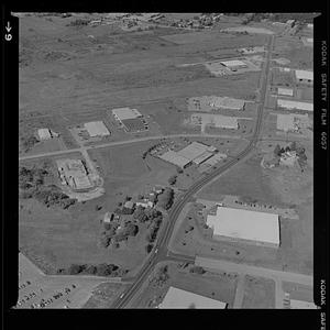
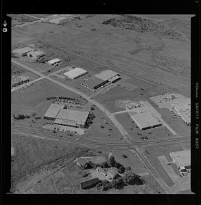
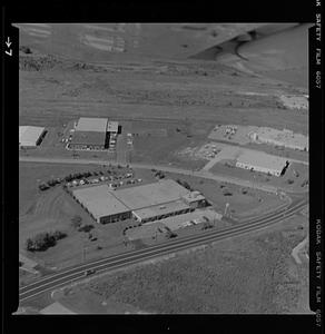
Industrial park properties
52.
Industrial park properties
53.
Industrial park properties
54.
Industrial park properties
55.
Industrial park properties
56.
Industrial park properties
57.
Industrial park properties
58.
Area northwest of Northampton, Massachusetts, along the Mill River, including Bay State neighborhood of Northampton, Florence,...
59.
Bicycle stand at Hastings
60.
Mohawk Trail, Massachusetts
61.
Automobile on the road in the rain
62.
Automobiles on the road in the rain
63.
Winter St.
64.
Winter St.
65.
Winter St.
66.
Winter St.
67.
Winter St.
68.
Winter St.
69.
Alison Laing in Vermont (2)
70.
Gillis Bridge
71.
Gillis Bridge
72.
Gillis Bridge
73.
West Springfield, Massachusetts, especially the Eastern States Exposition grounds
74.
Rainy day scene in Market Square and State Street
75.
Bach Dang Estuary
76.
Vietnam: A Television History; Bach Dang Estuary
77.
Granville, Massachusetts
78.
Route 113 curve at Artichoke
79.
Route 113 curve at Artichoke
80.
Route 113 curve at Artichoke
81.
Route 113 curve at Artichoke
82.
View down highway
83.
Waterfront, S End, EPI plant, Freedom Acres
84.
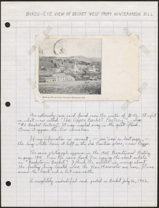
Becket, Massachusetts
85.
Berkshire Mfg.
86.
Berkshire Mfg.
87.
Berkshire Mfg.
88.
Berkshire Mfg.
89.
Berkshire Mfg.
90.
Berkshire Mfg.
91.
Berkshire Mfg.
92.
Berkshire Mfg.
93.
Berkshire Mfg.
94.
Berkshire Mfg.
95.
Northampton, Massachusetts
96.
Russell, Massachusetts, including Woronoco and Woronoco Heights areas
97.
Route 1
98.
Woodman land east of 95
99.
Woodman land east of 95
100.
Woodman land east of 95
« Previous
Next »
1
2
3
4
5
…
51
52
Limit your search
Subject
Roads
3,434
Cities and towns
1,689
Land use mapping
1,680
Soil mapping
1,680
United States. Work Projects Administration
1,680
United States. Works Progress Administration
1,680
History
425
Mansions
404
more
Subject
»
Place
North and Central America
4,724
United States
4,685
Massachusetts
4,230
Berkshire (county)
1,964
Lenox
1,664
Essex (county)
449
Middlesex (county)
389
Worcester (county)
327
more
Place
»
Format
Photographs
2,408
Maps/Atlases
1,696
Postcards/Cards
850
Prints
145
Manuscripts
32
Film/Video
31
Ephemera
29
Albums/Scrapbooks
18
more
Format
»
Available to use
No known restrictions
2,625
Creative Commons license
1,757
Date
View distribution
Current results range from
1683
to
2011
Date range begin
Date range end
View larger »
Unknown
22
Collection
Local History Photograph Collection
1,707
Land study maps, 1936-1937
1,680
Tichnor Brothers Postcard Collection
576
Bill Lane Photograph Collection
217
Leon Abdalian Collection
70
Alexander Davidson Photography
48
Edmund L. Mitchell Collection
42
Hamilton Historical Society Collection
41
more
Collection
»
Institution
Lenox Library Association
1,719
Massachusetts Archives
1,680
Boston Public Library
993
Newburyport Public Library
217
Williams College
48
Hamilton Historical Society
41
Phillips Library at the Peabody Essex Museum
33
Spinner Publications
29
more
Institution
»