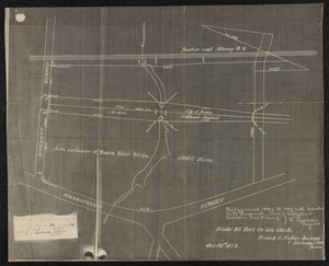
1. Deed to Town Hall land Format: Maps/Atlases Collection: Wellesley Free Library Local Historical Maps Date: October 20, 1879 Institution: Wellesley Free Library
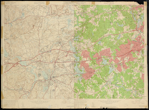
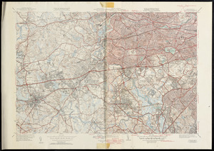
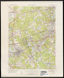
2. Framingham and Natick quadrangles, Massachusetts : 7.5 minute series (topographic) Creator: Geological Survey (U.S.) Format: Maps/Atlases Collection: Wellesley Free Library Local Historical Maps Date: 1950–1958 Institution: Wellesley Free Library
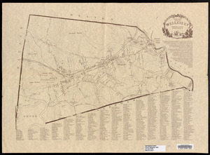
3. Index map, Town of Wellesley, Norfolk County, Massachusetts, 1881 Creator: Wellesley Historical Society (Wellesley, Mass.); Urann, Margaret Format: Maps/Atlases Collection: Wellesley Free Library Local Historical Maps Date: 1981 Institution: Wellesley Free Library
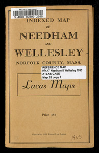
4. Indexed map of Needham and Wellesley, Norfolk County, Mass. Creator: Lucas, Kenneth A. Format: Maps/Atlases Collection: Wellesley Free Library Local Historical Maps Date: (c) 1935 Institution: Wellesley Free Library
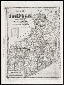
5. Map of Norfolk County, Massachusetts Creator: Walling, Henry Francis, 1825-1888 Format: Maps/Atlases Collection: Wellesley Free Library Local Historical Maps Date: 1853 Institution: Wellesley Free Library
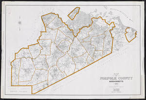
6. Map of Norfolk County, Massachusetts Format: Maps/Atlases Collection: Wellesley Free Library Local Historical Maps Date: 1970 Institution: Wellesley Free Library
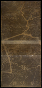
7. Map of the City of Boston and its environs from actual surveys Format: Maps/Atlases Collection: Wellesley Free Library Local Historical Maps Date: 1867 Institution: Wellesley Free Library
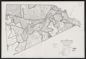
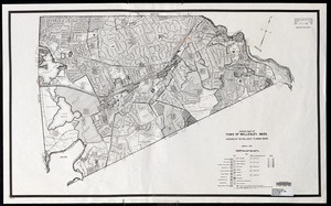
8. Map of Town of Wellesley, Mass. Creator: Wellesley Planning Board Format: Maps/Atlases Collection: Wellesley Free Library Local Historical Maps Date: February 1971 Institution: Wellesley Free Library
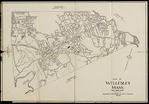
9. Map of Wellesley, Mass. Creator: Gleason Engineering Corporation Format: Maps/Atlases Collection: Wellesley Free Library Local Historical Maps Date: 1940 Institution: Wellesley Free Library
10. Map of Wellesley, Massachusetts : from Robinson's Atlas of Norfolk County, Massachusetts, 1888 Format: Maps/Atlases Collection: Wellesley Free Library Local Historical Maps Date: 1888 Institution: Wellesley Free Library
11. Natick and Newton quadrangles, Massachusetts : 7 1/2 minute series Creator: Geological Survey (U.S.) Format: Maps/Atlases Collection: Wellesley Free Library Local Historical Maps Date: 1950 Institution: Wellesley Free Library
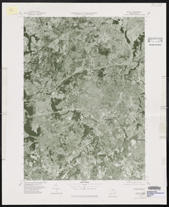
12. Natick quadrangle, Massachusetts : 7.5 minute series orthophotoquad Creator: Geological Survey (U.S.) Format: Maps/Atlases Collection: Wellesley Free Library Local Historical Maps Date: 1977 Institution: Wellesley Free Library
13. Natick quadrangle, Massachusetts : 7 1/2 minute series Creator: Geological Survey (U.S.) Format: Maps/Atlases Collection: Wellesley Free Library Local Historical Maps Date: 1950 Institution: Wellesley Free Library
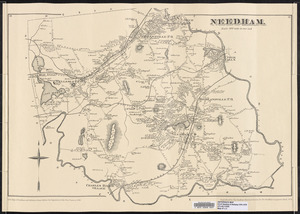
14. Needham Format: Maps/Atlases Collection: Wellesley Free Library Local Historical Maps Date: 1978 Institution: Wellesley Free Library
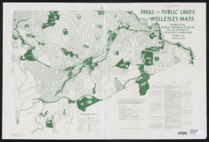
15. Parks and public lands in Wellesley, Mass. Creator: Wellesley Planning Board Format: Maps/Atlases Collection: Wellesley Free Library Local Historical Maps Date: 1981 Institution: Wellesley Free Library
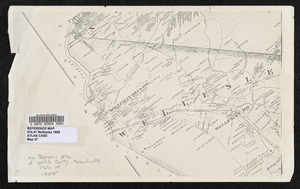
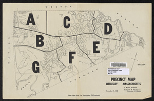
16. Precinct map, Wellesley, Massachusetts Format: Maps/Atlases Collection: Wellesley Free Library Local Historical Maps Date: December 5, 1949 Institution: Wellesley Free Library
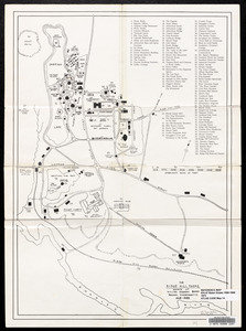
17. The Ridge Hill Farms, estate of William Emerson Baker, Needham, Massachusetts, 1868-1888 Creator: Crumbaker, Leslie G. Format: Maps/Atlases Collection: Wellesley Free Library Local Historical Maps Date: August 1973 Institution: Wellesley Free Library
18. Zoning map of Town of Wellesley, Mass. Creator: Wellesley Planning Board Format: Maps/Atlases Collection: Wellesley Free Library Local Historical Maps Date: January 1, 1980 Institution: Wellesley Free Library