Skip to search
Skip to main content
Skip to first result
Digital Commonwealth
Folders
Sign Up / Log In
Search for
Search
Search
Search
Basic
Advanced
Explore
Map
Collections
Institutions
Formats
For Educators
Primary Source Sets
Lesson Plans
Using Primary Sources
Searching Digital Commonwealth
For Institutions
Join Digital Commonwealth
Conferences, Trainings, & Events
How to Contribute Collections
Digitization Services
Board & Committees
Frequently Asked Questions
About
About Digital Commonwealth
News & Announcements
Copyright & Terms of Use
Harmful Content Statement
Partners
API
Contact Us
Search
Search Constraints
Start Over
Save Search
Your search:
Format
Maps
✖
Remove constraint Format: Maps
« Prev.
|
20,341
-
20,360
of
20,380
|
Next »
Sort
by relevance
relevance
title
date (asc)
date (desc)
Number of results to display per page
20
per page
per page
10
per page
20
per page
50
per page
100
per page
View results as:
List
list view
Maps
map view
Gallery
grid view
Search Results
20341.
Wyld's military map of the United States, the northern states, and the southern Confederate states : with the forts, harbours,...
20342.
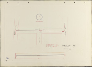
Wyman St.
20343.
Yaggy's geographical study [title page] : comprising physical, political, geological and astronomical geography
20344.
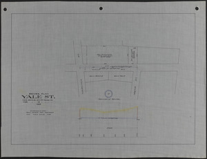
Yale St. sewer plan
20345.
Yarmouth, Nova Scotia : 1889
20346.
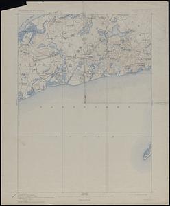
Yarmouth Sheet Massachusetts
20347.
Yellow Sea, west coast of Korea, A-San Anchorage : from a Japanese government survey in 1879
20348.
Yellowstone National Park : from surveys made under the direction of F.V. Hayden and other authorities
20349.
Yellowstone National Park, Big Horn Mountains and adjacent territory
20350.
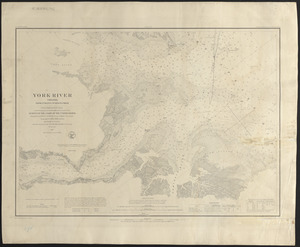
York River, Virginia, from entrance to King's Creek
20351.
Yosemite Valley
20352.
Yuenan renmin kang mei jiu guo xing shi tu
20353.
Zambales
20354.
Zeilan Insula
20355.
Železnička i brodarska karta Kraljevine Srba Hrvata i Slovenaca = Carte des chemins de fer et de naviation du Royaume des...
20356.
Zentral- und Südafrika
20357.
Zhongguo di zhi tu = General geological map of China : Peking-Tsinan Sheet
20358.
Ziron 1920 political map
20359.
Zone of the armies
20360.
Zoning districts - city of Boston - map 1 - Boston proper
« Previous
Next »
1
2
…
1,014
1,015
1,016
1,017
1,018
1,019
Limit your search
Subject
Real property--Massachusetts--Boston--Maps
2,356
Boston (Mass.)--Maps
2,182
Landowners--Massachusetts--Boston--Maps
2,154
Roads
1,692
Cities and towns
1,681
Land use mapping
1,679
Soil mapping
1,679
United States. Work Projects Administration
1,679
more
Subject
»
Place
North and Central America
16,317
United States
14,632
Massachusetts
9,667
Suffolk (county)
4,209
Boston
4,056
Essex (county)
2,374
Lawrence
1,525
Middlesex (county)
1,476
more
Place
»
Format
Any of:
Maps
✖
[remove]
Available to use
No known restrictions
16,354
Creative Commons license
1,776
Date
View distribution
Current results range from
1482
to
2023
Date range begin
Date range end
View larger »
Unknown
285
Collection
Norman B. Leventhal Map Center Collection
11,626
Boston and New England Maps (Collection of Distinction)
5,672
Urban Maps (Collection of Distinction)
5,268
Land study maps, 1936-1937
1,679
Maritime Charts and Atlases (Collection of Distinction)
1,110
American Revolutionary War-Era Maps (Collection of Distinction)
848
Lawrence, Mass. Engineering Department. City Sewers
717
Lawrence, Mass. Engineering Department. City Streets
667
more
Collection
»
Institution
Boston Public Library
11,891
Massachusetts Archives
2,453
Lawrence Public Library
1,490
Harvard University
714
State Library of Massachusetts
632
New Bedford Free Public Library
480
Salem State University Archives and Special Collections
280
Phillips Academy
249
more
Institution
»

![Yaggy's geographical study [title page]](https://bpldcassets.blob.core.windows.net/derivatives/images/commonwealth:3f463530h/image_thumbnail_300.jpg)