Skip to search
Skip to main content
Digital Commonwealth
Sign Up / Log In
Search for
Search
Search
Search
Basic
Advanced
Explore
Map
Collections
Institutions
Formats
For Educators
Primary Source Sets
Lesson Plans
Using Primary Sources
Searching Digital Commonwealth
For Institutions
Join Digital Commonwealth
Conferences, Trainings, & Events
How to Contribute Collections
Digitization Services
Board & Committees
Frequently Asked Questions
About
About Digital Commonwealth
News & Announcements
Copyright & Terms of Use
Harmful Content Statement
Partners
API
Contact Us
Town of Rockport
Rockport Town Clerk, Street, Roads and Maps
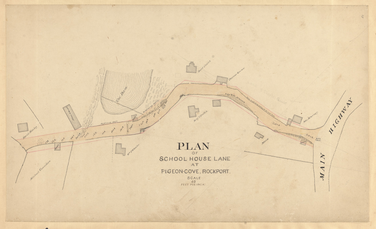
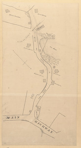
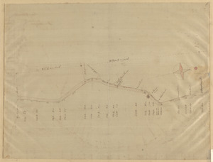
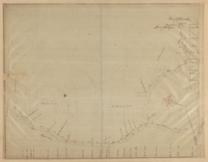
Plan of School House Lane at Pigeon-Cove, Rockport
Plan of School House Lane at Pigeon-Cove, Rockport
×
Item Information
Title:
Plan of School House Lane at Pigeon-Cove, Rockport
Date:
[ca. 1823–1974]
Format:
Maps/Atlases
Manuscripts
Genre:
Planning drawings
Manuscript maps
Location:
Town of Rockport
Collection (local):
Streets, Roads and Maps of Rockport, MA 1823-1974 (approximate)
Subjects:
Streets
Places:
Massachusetts
>
Essex (county)
>
Pigeon Cove
Extent:
1 map : ms. ; 39 x 64 cm
Permalink:
https://ark.digitalcommonwealth.org/ark:/50959/dz010w171
Terms of Use:
Rights status not evaluated.
No known restrictions on use.
Scale:
Scale 1:480
Language:
English
Notes:
Title from item.
Notes (date):
Date supplied by cataloger.
Identifier:
73
show more...
View MODS XML
More Like This
"A" sketch showing proposed changes of line at Beach & Granite ...
Goose Lane off Main St.
Granite St.
Granite St., Pigeon Cove - Folly Cove
Find More Like This >>
Tools
Share
Facebook
Pinterest
X
Reddit
Tumblr
Email
Copy link
Add to Folder
Questions/Comments
Cite This Item
Downloads
Primary (full resolution, uncompressed)
(TIF, 85.2 MB)
Large (full resolution)
(JPEG, 7.16 MB)
Medium
(JPEG, 244 KB)