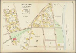
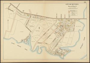
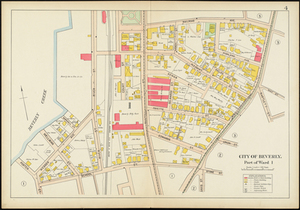
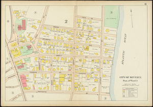
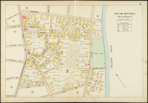
Map of Beverly, Massachusetts, showing specifically part of wards 2 and 4, from Essex Street to Lothrop Street and Ocean Street to Hale Street. This map shows street names, names of property owners, residences, businesses, railroads, schools, parks. This is part of a larger volume titled, Atlas of the City of Beverly.