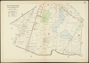
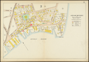
Map of Beverly, Massachusetts, showing specifically part of wards 5 and 6, from Salem Road to Grover Street and Wenham to Essex Street. This map shows street names, names of property owners, residences, businesses, railroads, schools, and reservoirs. This is part of a larger volume titled, Atlas of the City of Beverly.