Skip to search
Skip to main content
Digital Commonwealth
Sign Up / Log In
Search for
Search
Search
Search
Basic
Advanced
Explore
Map
Collections
Institutions
Formats
For Educators
Primary Source Sets
Lesson Plans
Using Primary Sources
Searching Digital Commonwealth
For Institutions
How to Contribute Collections
Digitization Services
Frequently Asked Questions
Collection Development Policy
About
About Digital Commonwealth
News & Announcements
Copyright & Terms of Use
Harmful Content Statement
Partners
API
Contact Us
Lunenburg Massachusetts Historical Society
1950 Aerial Mapping of Lunenburg, Ma.
Detail from:
Properties near Round Road, Reservoir Road and the southwestern shoreline of Shirley Reservoir
View All Items
or
Search for items from this collection...
Search
Search
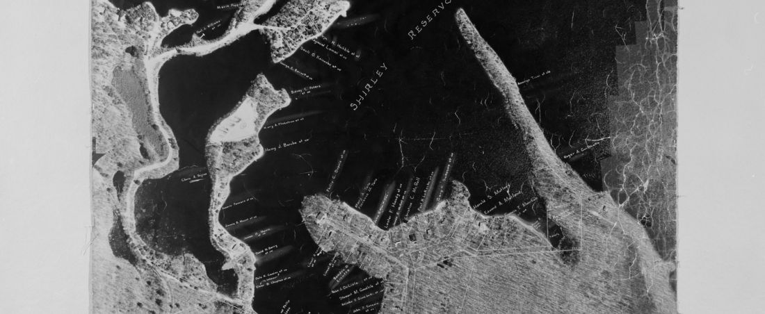
Collection of aerial photographs taken in 1950 of the entire town of Lunenburg, Massachusetts, with overlay of property lines and owners done in 1978.
Locations in this Collection:
Browse by:
Subject
Land subdivision
151
Lakes & ponds
36
Railroad tracks
3
Place
Lunenburg
151
Massachusetts
151
North and Central America
151
United States
151
Worcester (county)
151
Format
Photographs
151
Available to use
No known restrictions
151
Date
1950
151