Search
![15th [Massachusetts Infantry] Captain Samuel J. Fletcher present[?] address Sherborn Massachusetts](https://bpldcassets.blob.core.windows.net/derivatives/images/commonwealth:h128t0290/image_thumbnail_300.jpg)
Limit your search
- Project DOCUMERICA Photographs by Ernst Halberstadt15
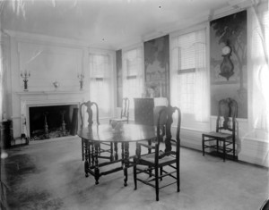
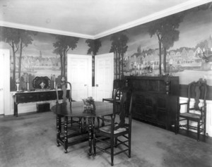
- Domestic interiors photographic collection (PC002)12
- Irving and Casson - A. H. Davenport -- Collection I (CC010)6
- Royal Barry Wills Associates architectural collection, 1925-2013 (bulk 1920s-1980) (AR029)6
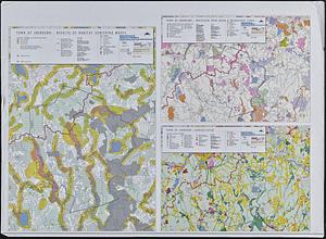
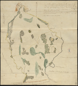
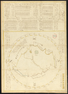
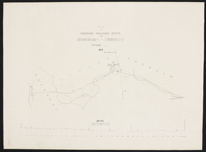
- Land study maps, 1936-19375
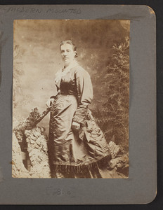
- General photographic collection (PC001)4
- Wayland Historical Maps and Plans4
- Boston Overseers of the Poor Indentures and Related Material, 1734-18053