Search
Limit your search
- North and Central America3,403
- United States3,261
- Massachusetts2,417
- Suffolk (county)2,207
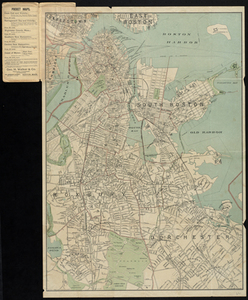
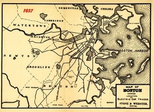
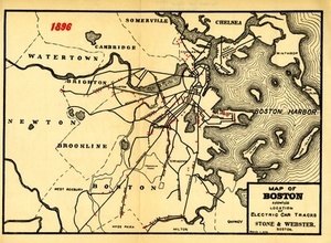
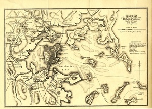
- Boston2,204
- Dukes (county)701
- Martha's Vineyard605
- Roxbury226
- Norman B. Leventhal Map Center Collection2,178
- Boston and New England Maps (Collection of Distinction)2,126
- Urban Maps (Collection of Distinction)1,889
- Harvard Forest Martha's Vineyard Collection740
- Historic Maps278
- American Archive of Public Broadcasting Collection177
- Boston Redevelopment Authority Collection124
- Oral Histories57