Skip to search
Skip to main content
Skip to first result
Digital Commonwealth
Folders
Sign Up / Log In
Search for
Search
Search
Search
Basic
Advanced
Explore
Map
Collections
Institutions
Formats
For Educators
Primary Source Sets
Lesson Plans
Using Primary Sources
Searching Digital Commonwealth
For Institutions
Join Digital Commonwealth
Conferences, Trainings, & Events
How to Contribute Collections
Digitization Services
Board & Committees
Frequently Asked Questions
About
About Digital Commonwealth
News & Announcements
Copyright & Terms of Use
Harmful Content Statement
Partners
API
Contact Us
Search
Search Constraints
Start Over
Save Search
Your search:
More Like
commonwealth-oai:tm70qw66w
✖
Remove constraint More Like: commonwealth-oai:tm70qw66w
1
-
13
of
13
Sort
by relevance
relevance
title
date (asc)
date (desc)
Number of results to display per page
20
per page
per page
10
per page
20
per page
50
per page
100
per page
View results as:
List
list view
Maps
map view
Gallery
grid view
Search Results
1.
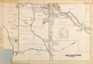
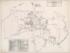
Map of Williamstown businesses, 1987
2.
Alexander Walker
3.
Barnes and Farnum
4.
Lauren H. Healy & William B. Sprague
5.
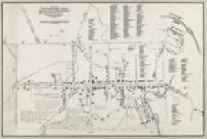
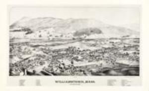
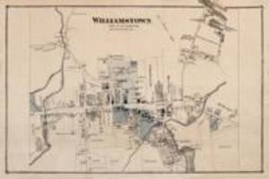
L.R. Burleigh
6.
Map of Williamstown, circa 1876
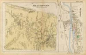
7.
Miller
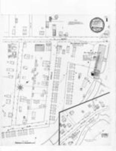
8.
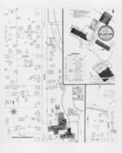
Sanborn Perris
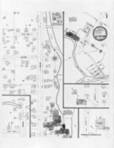
9.
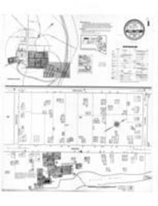
Sanborn Perris
10.
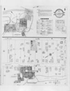
Sanborn Perris
11.
Sanborn Perris
12.
Sanborn Perris
13.
W.N. Tuller
Limit your search
Subject
Williamstown (Mass. : Town)
7
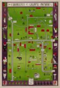
Williams College
4
Farms
1
Williamstown (Mass : Town)
1
Place
Berkshire (county)
13
Massachusetts
13
North and Central America
13
United States
13
Williamstown
13
Format
Maps/Atlases
13
Date
View distribution
Current results range from
1876
to
1987
Date range begin
Date range end
View larger »
Collection
Williams College and Williamstown Map Collection, 1876-1987
13
Institution
Williams College
13