Skip to search
Skip to main content
Skip to first result
Digital Commonwealth
Folders
Sign Up / Log In
Search for
Search
Search
Search
Basic
Advanced
Explore
Map
Collections
Institutions
Formats
For Educators
Primary Source Sets
Lesson Plans
Using Primary Sources
Searching Digital Commonwealth
For Institutions
Join Digital Commonwealth
Conferences, Trainings, & Events
How to Contribute Collections
Digitization Services
Board & Committees
Frequently Asked Questions
About
About Digital Commonwealth
News & Announcements
Copyright & Terms of Use
Harmful Content Statement
Partners
API
Contact Us
Search
Search Constraints
Start Over
Save Search
Your search:
More Like
commonwealth-oai:qv33vb465
✖
Remove constraint More Like: commonwealth-oai:qv33vb465
1
-
19
of
19
Sort
by relevance
relevance
title
date (asc)
date (desc)
Number of results to display per page
20
per page
per page
10
per page
20
per page
50
per page
100
per page
View results as:
List
list view
Maps
map view
Gallery
grid view
Search Results
1.
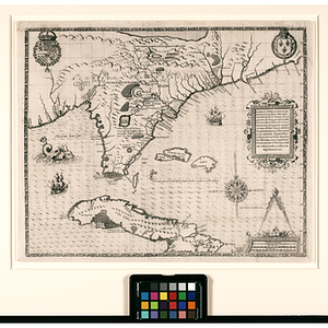
Floridae Americae Provinciae
2.
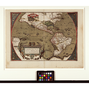
Americae Sive Novi Orbis Nova Descriptio
3.
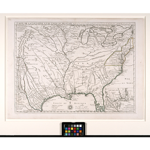
Carte de la Louisiane et du Cours du Mississipi
4.
Carte Geographique de la Nouvelle Franse
5.
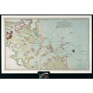
A Chart of the Harbour of Boston, with the Soundings, Sailing-marks, and other Directions
6.
A Map of the Most Inhabited Part of New England... [bottom portion]
7.
A Map of the Most Inhabited Part of New England... [top portion]
8.
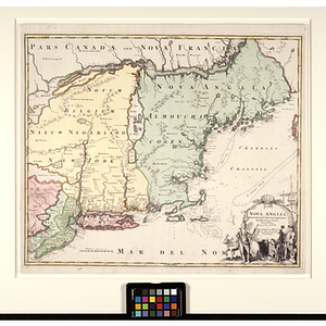
Nova Anglia
9.
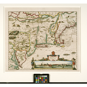
Novi Belgii
10.
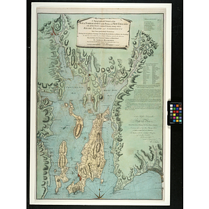
A Topographical Chart of the Bay of Narraganset in the Province of New England : with all the Isles contained therein, among...
11.
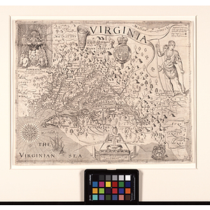
Virginia
12.
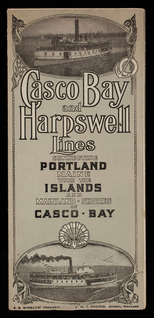
Casco Bay and Harpswell Lines connecting Portland Maine with the islands and mainland shores of Casco Bay, Portland, Maine
13.
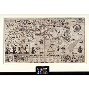
Chart shewing the tracks across the North Atlantic Ocean of Don Christopher Columbus
14.
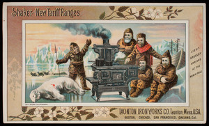
Handbill, Shaker and new Tariff Ranges, Taunton Iron Works Co., Taunton, Mass.
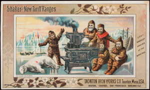
15.
Handbill, Shaker and new Tariff Ranges, Taunton Iron Works Co., Taunton, Mass.
16.
Orbis Terrae Compendiosa Descriptio
17.
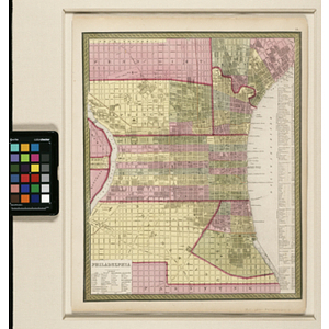
Philadelphia
18.
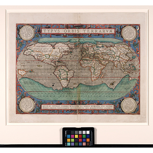
Typvs Orbis Terrarvm
19.
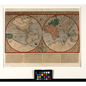
Untitled world map
Limit your search
Subject
Early American Maps
11
Discoveries in geography
5
Arctic regions
3
advertising
3
business (commercial function)
3
explorers
3
Bears
2
Greely, A. W. (Adolphus Washington), 1844-1935
2
more
Subject
»
Place
Massachusetts
7
New England
6
North and Central America
5
United States
4
Boston
3
Boston (Mass.)
3
Connecticut
3
Suffolk (county)
3
more
Place
»
Format
Maps/Atlases
16
Documents
15
Objects/Artifacts
3
Prints
1
Available to use
No known restrictions
1
Date
View distribution
Current results range from
1555
to
1913
Date range begin
Date range end
View larger »
Unknown
2
Collection
Early American and European Maps
12
Ephemera collection (EP001)
2
Theatrum Orbis Terrarum
2
America
1
Norman B. Leventhal Map Center Collection
1
Trade card albums collection (EP003)
1
Institution
Northeastern University Library
15
Historic New England
3
Boston Public Library
1
![A Map of the Most Inhabited Part of New England... [bottom portion]](https://bpldcassets.blob.core.windows.net/derivatives/metadata/commonwealth-oai:b5645v47s/image_thumbnail_300.jpg)
![A Map of the Most Inhabited Part of New England... [top portion]](https://bpldcassets.blob.core.windows.net/derivatives/metadata/commonwealth-oai:0c484n457/image_thumbnail_300.jpg)